- General Info
- Demographics
- Education and Employment
- Valuation and Taxes Levied
- State Senators
- History
- County Programs
- Other Information
Communities & Development
Brown County Seat: Ainsworth
Total County Population: 2,826
- Cities (pop. & class): Ainsworth (1,585 • 2nd Class), Long Pine (291 • 2nd Class)
- Villages: Johnstown (44)
- Unincorporated Pop. (% of county pop.): 906 (32%) 2025
Land Development (% of total land in county):
- Agriculture: 92%
- By method: Pasture (pure grassland) (83%), Dryland (row crop/grain/forage) (0%), Irrigated (row crop/grain/forage) (9%) • Neb. Dept. of Rev. - total equals agriculture's %
- By commodity: Corn 5%, Soybeans 2%, Livestock (grassland) 80%, Alfalfa 1% • USDA (NLCD) - equals agriculture's % plus some wetlands (6%) and some wooded grazing land (3%) and minus public grassland/wetlands and reserve
- Residential, Commercial, Industrial, Conservation Reserve & Exempt (combined): 4%
- Timber: 4% 2022
County Offices
Courthouse Address and Hours:
148 West 4th Street
Ainsworth, Nebraska 69210
M-F 8:00 am - 5:00 pm
Complete list of county board members
County Board Meetings: 1st & 3rd Tuesday
View the County's Government Maps
NACO District: Northeast
Click for a live look at Brown County (NE Hwy 7 & Elsmere Rd)
General
Population: 2,826
Land area (sq. mi.): 1,211.36
Population per square mile: 2.3
Race & Age
Race 2024
White: 88.5%
African American: 0.0%
American Indian: 0.4%
Asian: 0.0%
Hispanic: 6.2%
Native Hawaiian and Pacific Islander: 0.0%
Two or More Races: 4.4%
Age 2024
0-17: 20.1%
18-64: 51.7%
65+: 27.9%
Households
Total households: 1,275 2023
With one child: 130 2023
With 2+ children: 190 2023
With seniors (65+): 240 2023
Socioeconomics
Median household income: $54,676 2024
% of population in poverty: 11.3% 2024
# of housing units: 1,656 2024
Owner-occupied rate: 70.0% 2024
Median home price: $118,600 Q4 2025
2024 building permits for detached single family homes: 0
2024 building permits for non-detached housing units: 0 (townhouse, duplex, or apt. unit)
Technology
Access to broadband (100 Mbps via fiber or cable model): 85.1% 2025
Sources: National Association of Realtors, Nebraska Department of Revenue, Nebraska Legislature, Nebraska Library Commission, U.S. Bureau of Economic Analysis, U.S. Census Bureau (building permits), U.S. Census Bureau (demographics), U.S. Census Bureau (municipalities)
Employment, Schools, and Child Care
Unemployment rate: 2.3% February 2026
County Employment Website: https://browncounty.ne.gov/webpages/links/public_notices.html
High school graduate or higher: 92.3% 2024
School Districts: Ainsworth Community Schools, Keya Paha County Schools, Rock County Public Schools, Sandhills Public Schools, Valentine Community Schools
Bachelor's degree or higher: 24.0% 2024
Community College Service Area: Northeast Community College
Countywide child care capacity: 7 providers; 114 children 2026
Find child care: For a list of child care providers by zip code, visit Nebraska DHHS or the Nebraska Resource and Referral System.
Brown County Economy
Annual Gross Domestic Product (GDP): $265,600,000 2024
Nonfarm Small Business Receipts: $27,963,598 2023
Nonfarm Wage Income: $54,735,000 2022
Farm and Ranch Commodity Sales Receipts: $327,657,000 2022
Farm and Ranch Operations (Non-Sales) Receipts: $7,190,000 2022
- For components of nonfarm small business receipts, nonfarm wage income, and farm & ranch commodity sales and operations receipts, see "Notes" below.
Grain Elevators by Location (bushels capacity):
- Ainsworth: CVA (393,000)
- (1 bushel = 56 lbs. corn/sorghum, 60 lbs. soybeans/wheat; % max. moisture = 18% beans, 15.5% corn, 14% sorghum/soybeans, 13.5% wheat)
Local Grain Market: Click for today's grain prices in Brown County
Cattle Producers: 156
- Pastureland Cash Rent (avg.): $26/acre 2025
Crop Producers: 93
- Dryland Cash Rent (avg.): $62/acre 2025
- Irrigated Land Cash Rent (avg.): $194/acre 2025
Electricity Providers: Custer PPD, KBR Rural PPD, Nebraska PPD
Wind Turbines Operating (MW): 36 turbines (59,400 MW total)
Notes
- Nonfarm small business receipts are reported by partnerships and sole proprietorships. They do not include receipts reported by cooperative associations.
- Nonfarm wage income is reported based upon the wage earner's residential address; therefore, it also includes wages earned by Brown County residents in other counties or states, but it excludes wages earned in Brown County by residents of other counties or states.
- Nonfarm wage income excludes wages earned by anyone claimed as a dependent.
- Farm and ranch commodity sales receipts and operations receipts are reported based upon the farm or ranch owner's principal county of operations; therefore, those figures also include receipts reported by producers operating principally in Brown County for their production in other counties or states, but the figures exclude receipts reported for production in Brown County by producers operating principally in other counties or states.
Irrigation, Drinking Water, and Soils
Rural Irrigation/Livestock Wells: 1,292 2026
Rural Commercial/Industrial Wells: 8 2026
Rural Drinking Water Wells: 279 2026
Drinking Water Utility Connections: 1,099 Residential; 137 Commercial; 0 Industrial 2024
Irrigation/Livestock Wells per Square Mile: 1.07 2026
Surface Water Diversions (Irrigation): 27 2024
Click for real time:
Stream data on Long Pine Creek near Riverview
Groundwater level data along NE Hwy 7 four miles south of Ainsworth
Groundwater level data near S. Pine Ave. & Cattleman Rd. (23 mi. southeast of Ainsworth)
Sources: National Agricultural Statistics Service (USDA), Nebraska Cooperative Council, Nebraska Coordinating Commission for Postsecondary Education, Nebraska Department of Health and Human Services, Nebraska Department of Revenue, Nebraska Department of Transportation, Nebraska Office of the CIO, Nebraska Power Review Board, Nebraska Public Service Commission, U.S. Bureau of Economic Analysis, U.S. Bureau of Labor Statistics, U.S. Census Bureau, U.S. Energy Information Administration, U.S. Department of the Treasury (IRS), Warehouse and Commodity Management Division (USDA)
2025 Levies and Valuations
County levy rate: $0.343 per $100 of taxable valuation
County property taxes levied: $3,991,800
Total local government property taxes levied: $12,041,443
Total countywide taxable valuation: $1,163,302,725
Federal PILT payment to Brown County (FY2024): $3,257 regarding 942 federally-owned acres
Click here for all levy rates in Brown County
County Levy and Taxation Laws
Levy limits
Since 1996, counties and other political subdivisions have been subject to the levy limits listed in Neb. Rev. Stat. § 77-3442 and Neb. Rev. Stat. § 77-3443.
Statutes and regulations
Nebraska Revised Statutes (Chapter 77)
Nebraska Administrative Code (Title 350)
Local tax reductions, exemptions, and credits:
Neb. Rev. Stat. § 76-902(5)(a) (Deed "stamp tax" exemption): "The [stamp tax] shall not apply to: ... (5)(a) Deeds between spouses, between ex-spouses for the purpose of conveying any rights to property acquired or held during the marriage, or between parent and child, without actual consideration therefor."
Neb. Rev. Stat. § 77-201(2) (Valuation of agricultural land and horticultural land): "Agricultural land and horticultural land as defined in section 77-1359 shall constitute a separate and distinct class of property for purposes of property taxation, shall be subject to taxation, unless expressly exempt from taxation, and shall be valued at seventy-five percent of its actual value, except that for school district taxes levied to pay the principal and interest on bonds that are approved by a vote of the people on or after January 1, 2022, such land shall be valued at fifty percent of its actual value."
Neb. Rev. Stat. § 77-6703(1) (Tax credit for school district taxes paid): "(1) For taxable years beginning or deemed to begin on or after January 1, 2020, under the Internal Revenue Code of 1986, as amended, there shall be allowed to each eligible taxpayer a refundable credit against the income tax imposed by the Nebraska Revenue Act of 1967 or against the franchise tax imposed by sections 77-3801 to 77-3807. The credit shall be equal to the credit percentage for the taxable year, as set by the department under subsection (2) of this section, multiplied by the amount of school district taxes paid by the eligible taxpayer during such taxable year."
Sources: Nebraska Department of Revenue
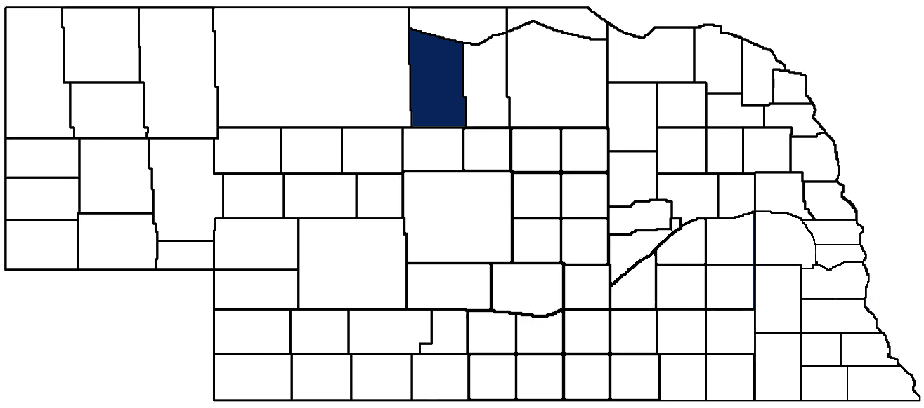
State Senator: Tanya Storer (District 43)
Committees:
Map and statistics for Legislative District 43
Map of all districts in the Nebraska Unicameral Legislature

Brown County History
Number of Registered Historic Places: 1
Year Authorized: 1883
Year Organized: 1883
Etymology: Disputed; Brown family (early Nebraska settlers); legislators who sponsored bill creating the county
The exact origin of Brown County’s name is disputed, as several early settlers and senators who sponsored the county’s creation bore the last name of Brown. Although on the northeast edge of the Sandhills, Brown County was once part of an organized territory that stretched as far west as Sioux County. In 1883, Brown County was organized, only to be divided in half in 1888, giving rise to adjacent Rock County.
The early years of Brown County were characteristic of many counties in the Sandhills, namely, residents were largely ranchers and cowboys, veterans of the dwindling cattle drives in the late 1880’s. Later, covered wagons and various railroad lines introduced farmers who would later grow award-winning wheat in the region. Ainsworth (named for an engineer who help bring the railroad to the region) became the county seat in 1883, firmly establishing the city as a central place of commerce in north central Nebraska.
Today, Brown County continues that proud farming and ranching tradition. In the county seat of Ainsworth, the Nebraska Sandhills Cowboy Hall of Fame celebrates the people who carry on that important way of life.
Highlight an important program in your county in this space! Send an email to:
Local Highlights
License Plate Number: 75
Time Zone: Central
Zoned County: Yes
Number of Veterans: 163 2026
County Hospital: Brown County Hospital
Number of County-Owned Bridges: 56
Number of County-Owned Dams: 1
Election Data
General Election Turnout: 80% 2024
Total Registered Voters: 2,051 2024
Number of Precincts: 3 2022
Number of Election Day Polling Places: 1 2022
Land Area per Polling Place: 1,211.36 sq. miles
Intergovernmental Data
Emergency Mgt. Planning, Exercise and Training (PET) Region: North Central/Sandhills
Natural Resource Districts: Middle Niobrara NRD, Upper Loup NRD
State Lands (acres): American Game Marsh WMA (160.55), Bobcat WMA (893), Keller WMA (640), Keller Park SRA (196), Long Pine WMA (160), Long Pine SRA (154), Pine Glen WMA (960), Plum Creek Valley WMA (1,320), South Pine WMA (442.96), Willow Lake B.C. WMA (511), Yellowthroat WMA (480)
Sources: Nebraska Department of Transportation, Nebraska Emergency Management Agency, Nebraska Game & Parks Commission, Nebraska Legislature, Nebraska Office of the CIO, Nebraska Secretary of State, U.S. Department of Veterans Affairs, U.S. National Archives and Records Administration (eCFR)