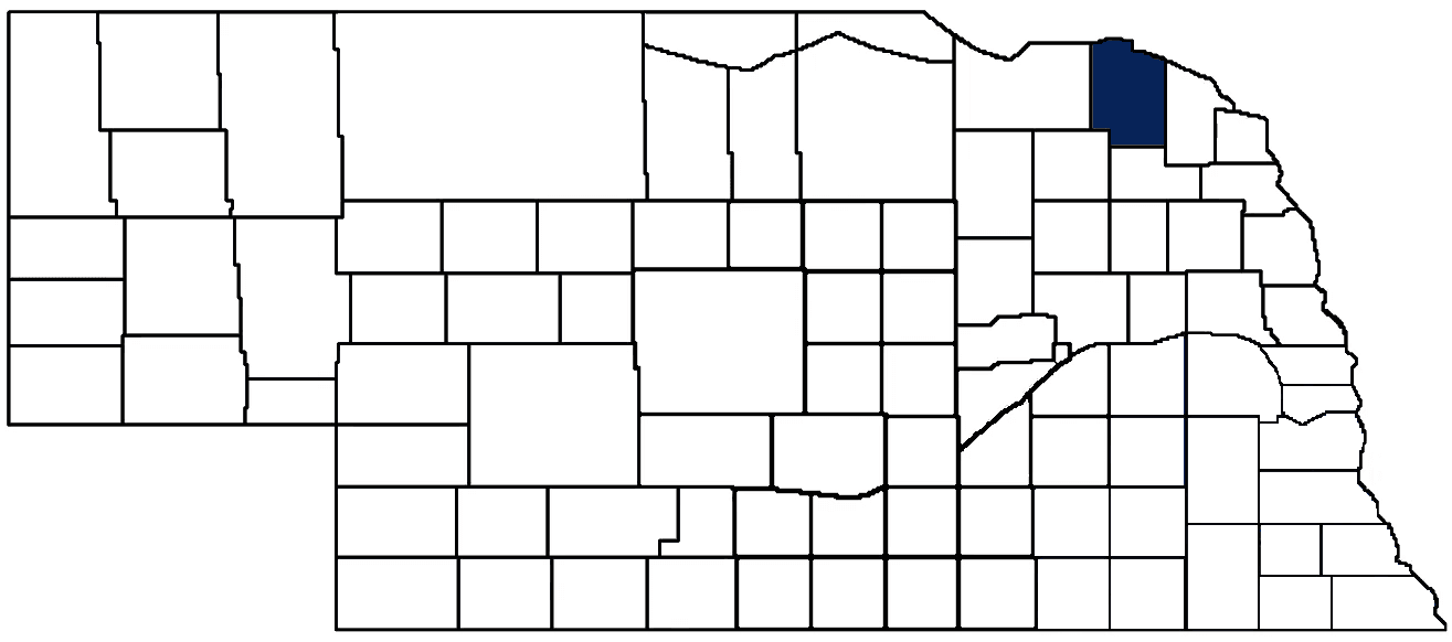
- General Info
- Demographics
- Education and Employment
- Valuation and Taxes Levied
- State Senators
- History
- County Programs
- Other Information
Communities & Development
Cedar County Seat: Hartington
Total County Population: 8,373
- Cities (pop. & class): Hartington (1,530 • 2nd Class), Laurel (961 • 2nd Class), Randolph (892 • 2nd Class)
- Villages (pop.): Belden (111), Coleridge (522), Fordyce (131), Magnet (46), Obert (22), St. Helena (87), Wynot (221)
- Unincorporated Pop. (% of county pop.): 4,071 (49%) 2025
Land Development (% of total land in county):
- Agriculture: 88%
- By method: Dryland (row crop/grain/forage) (43%); Irrigated (row crop/grain/forage) (31%); Pasture (pure grassland) (14%) • Neb. Dept. of Rev. - total equals agriculture's %
- By commodity: Corn 41%, Soybeans 27%, Livestock (grassland) 17%, Alfalfa 5%, Oats 1%, Other Hay 1% • USDA (NLCD) - equals agriculture's % plus some wetlands (1%) and minus public grassland/wetlands and reserve
- Residential, Commercial, Industrial, Conservation Reserve & Exempt (combined): 9%
- Timber: 3% 2024
County Offices
Courthouse Address and Hours:
101 South Broadway Avenue
Hartington, Nebraska 68739
M-F 8:00 am - 5:00 pm
Complete list of county board members
County Board Meetings: 2nd & 4th Tuesday
View the County's Government Maps
NACO District: Northeast
General
Population: 8,373
Land area (sq. mi.): 740.24
Population per square mile: 11.3
Race & Age
Race 2024
White: 95.0%
African American: 0.1%
American Indian: 0.2%
Asian: 0.3%
Hispanic: 2.5%
Native Hawaiian and Pacific Islander: 0.0%
Two or More Races: 1.7%
Age 2024
0-17: 25.5%
18-64: 52.5%
65+: 22.2%
Households
Total households: 3,444 2024
With one child: 320 2023
With 2+ children: 660 2023
With seniors (65+): 600 2023
Socioeconomics
Median household income: $73,578 2024
% of Population in Poverty: 8.7% 2024
# of Housing Units: 3,899 2024
Owner-occupied rate: 80.6% 2024
Median home price: $192,630 Q4 2025
2024 building permits for detached single family homes: 12
2024 building permits for non-detached housing units: 0 (townhouse, duplex, or apt. unit)
Technology
Access to broadband (100 Mbps via fiber or cable modem): 89.1% 2025
Sources: National Association of Realtors, Nebraska Department of Revenue, Nebraska Legislature, Nebraska Library Commission, U.S. Bureau of Economic Analysis, U.S. Census Bureau (building permits), U.S. Census Bureau (demographics), U.S. Census Bureau (municipalities)
Employment, Schools, and Child Care
Unemployment rate: 2.8% February 2026
County Employment Website: https://nebraskacounties.org/nebraska-counties/county-employment-opportunities.html
High school graduate or higher: 96.4% 2024
School Districts: Hartington Newcastle Public Schools, Laural-Concord-Coleridge School, Randolph Public Schools, Wausa Public Schools, Wynot Public Schools
Bachelor's degree or higher: 24.0% 2024
Community College Service Area: Northeast Community College
Countywide child care capacity: 10 providers; 289 children
Find child care: For a list of child care providers in your zip code, visit Nebraska DHHS or the Nebraska Resource and Referral System.
Cedar County Economy
Annual Gross Domestic Product (GDP): $562,212,000 2024
Nonfarm Small Business Receipts: $194,975,309 2023
Nonfarm Wage Income: $169,199,000 2022
Farm and Ranch Commodity Sales Receipts: $610,198,000 2022
Farm and Ranch Operations (Non-Sales) Receipts: $27,031,000 2022
- For components of nonfarm small business receipts, nonfarm wage income, and farm & ranch commodity sales and operations receipts, see "Notes" below.
Grain Elevators by Location (bushels capacity):
- Belden: Belden Grain (647,468)
- Bow Valley: CVA (957,000)
- Fordyce: Fordyce Co-op Lumber & Supply (745,137), Fordyce Farmers (1,121,688)
- Hartington: Bow Valley Elevator (502,557)
- Laurel: CVA (3,756,000), North Side Grain (1,065,000)
- Randolph: Dixon Elevator (1,406,917)
- (1 bushel = 56 lbs. corn/sorghum, 60 lbs. soybeans/wheat; % max. moisture = 18% beans, 15.5% corn, 14% sorghum/soybeans, 13.5% wheat)
Railroad Miles: 18.82 main; 0.97 side
- Places with Railroad Service: Belden, Laurel, Randolph
Local Grain Market: Click for today's grain prices in Cedar County
Cattle Producers: 364
Crop Producers: 287
- Dryland Cash Rent (avg.): $251/acre 2025
- Irrigated Land Cash Rent (avg.): $355/acre 2025
Dairy Producers: 13
Electricity Providers: Cedar-Knox PPD, City of Laurel, City of Randolph, Nebraska PPD
Notes
- Nonfarm small business receipts are reported by partnerships and sole proprietorships. They do not include receipts reported by cooperative associations.
- Nonfarm wage income is reported based upon the wage earner's residential address; therefore, it also includes wages earned by Cedar County residents in other counties or states, but it excludes wages earned in Cedar County by residents of other counties or states.
- Nonfarm wage income excludes wages earned by anyone claimed as a dependent.
- Farm and ranch commodity sales receipts and operations receipts are reported based upon the farm or ranch owner's principal county of operations; therefore, those figures also include receipts reported by producers operating principally in Cedar County for their production in other counties or states, but the figures exclude receipts reported for production in Cedar County by producers operating principally in other counties or states.
Irrigation, Drinking Water, and Soils
Rural Irrigation/Livestock Wells: 1,650 2026
Rural Commercial/Industrial Wells: 12 2026
Rural Drinking Water Wells: 384 2026
Drinking Water Utility Connections: 1,178 Residential; 127 Commercial; 0 Industrial 2024
Agricultural Wells per Square Mile: 2.23 2026
Surface Water Diversions (Irrigation): 83 2024
Click for real time:
Streamflow data on Bow Creek near Wynot
Streamflow data on the Missouri River near Saint James
Groundwater level data at U.S. Hwy 20 & 57th Ave. (3 mi. northeast of Laurel)
Sources: National Agricultural Statistics Service (USDA), Nebraska Cooperative Council, Nebraska Coordinating Commission for Postsecondary Education, Nebraska Department of Health and Human Services, Nebraska Department of Revenue, Nebraska Department of Transportation, Nebraska Office of the CIO, Nebraska Power Review Board, Nebraska Public Service Commission, U.S. Bureau of Economic Analysis, U.S. Bureau of Labor Statistics, U.S. Census Bureau, U.S. Energy Information Administration, U.S. Department of the Treasury (IRS), Warehouse and Commodity Management Division (USDA)
2025 Levies and Valuations
County levy rate: $0.217 per $100 of taxable valuation
County property taxes levied: $8,471,366
Total local government property taxes levied: $34,264,459
Total countywide taxable valuation: $3,904,786,860
Federal PILT payment to Cedar County (FY2025): $13,994 regarding 4,047 federally-owned acres
Click here for all levy rates in Cedar County
County Levy and Taxation Laws
Levy limits
Since 1996, counties and other political subdivisions have been subject to the levy limits listed in Neb. Rev. Stat. § 77-3442 and Neb. Rev. Stat. § 77-3443.
Statutes and regulations
Nebraska Revised Statutes (Chapter 77)
Nebraska Administrative Code (Title 350)
Neb. Rev. Stat. § 77-201(2) (Valuation of agricultural land and horticultural land): "Agricultural land and horticultural land as defined in section 77-1359 shall constitute a separate and distinct class of property for purposes of property taxation, shall be subject to taxation, unless expressly exempt from taxation, and shall be valued at seventy-five percent of its actual value, except that for school district taxes levied to pay the principal and interest on bonds that are approved by a vote of the people on or after January 1, 2022, such land shall be valued at fifty percent of its actual value."
Neb. Rev. Stat. § 77-6703(1) (Tax credit for school district taxes paid): "(1) For taxable years beginning or deemed to begin on or after January 1, 2020, under the Internal Revenue Code of 1986, as amended, there shall be allowed to each eligible taxpayer a refundable credit against the income tax imposed by the Nebraska Revenue Act of 1967 or against the franchise tax imposed by sections 77-3801 to 77-3807. The credit shall be equal to the credit percentage for the taxable year, as set by the department under subsection (2) of this section, multiplied by the amount of school district taxes paid by the eligible taxpayer during such taxable year."
Sources: Nebraska Department of Revenue
State Senator: Barry DeKay (District 40)
Committees:
- Agriculture
- General Affairs
- Natural Resources
- State-Tribal Relations
- Statewide Tourism And Recreational Water Access and Resource Sustainability (LB406)
Map and statistics for Legislative District 40
Map of all districts in the Nebraska Unicameral Legislature

Cedar County History
Number of Registered Historic Places: 14
Year Authorized: 1857
Year Organized: 1857
Etymology: Eastern red cedar
Cedar County, located in the northeastern part of Nebraska, has a rich history that spans over 150 years. From its early days as a frontier territory to its modern-day status as a thriving agricultural center, Cedar County has a proud and storied heritage still celebrated today.
Before European settlers arrived in Cedar County, the area was home to several Native American tribes, including the Omaha, Ponca, and Yankton Sioux tribes. These tribes lived in the area for hundreds of years and had a deep spiritual connection to the land. They relied on hunting, fishing, and gathering for their subsistence and were skilled farmers who grew crops such as corn, beans, and squash.
The first European settlers arrived in Cedar County in the late 1850s, attracted by the fertile soil, abundant water resources, and lush vegetation. These settlers established farms and ranches and built homes and communities. Subsequently, the county experienced rapid growth and development during the late 1800s and early 1900s as more and more people moved into the area.
One of the most significant events in the history of Cedar County was the construction of the Fremont, Elkhorn, and Missouri Valley Railroad, which was completed in 1887. The railroad provided a crucial transportation link between Cedar County and the rest of the state, and was a major factor in the county's growth and development. The railroad brought new settlers and businesses into the area and made it easier to transport goods and products to other markets.
The creation of the Cedar County Fair, first held in 1875, was another important local event. The fair was a major gathering place for farmers and ranchers in the county, and provided an opportunity to show off their products and compete for prizes. Today, the Cedar County Fair is still held annually and is one of the largest and most popular events in the county.
Cedar County is known for its rich agricultural heritage, reflected in the many farms and ranches that can be found throughout the county. Agriculture has always been the county's main industry, and the fertile soil and abundant water resources have made it an ideal location for farming and ranching. The county is a major producer of crops, such as corn, soybeans, and wheat, and is also home to a thriving livestock industry.
The county has also been home to many influential and notable individuals throughout its history. One of the most important figures in the county's history is Charles Augustus Bennet, who was a prominent businessman and politician. Bennet was a founding member of the Fremont, Elkhorn, and Missouri Valley Railroad and played a key role in the county's development. Another notable individual is Frank L. Johnson, who was a prominent rancher and civic leader in the county.
Highlight an important program in your county in this space! Send an email to:
Local Highlights
License Plate Number: 13
Time Zone: Central
Number of Veterans: 449 2026
Zoned County: Yes
Number of County-Owned Bridges: 271
Number of County-Owned Dams: 2
Election Data
General Election Turnout: 87% 2024
Total Registered Voters: 5,752 2024
Number of Precincts: 13 2024
Number of Election Day Polling Places: All Voting by Mail
Intergovernmental Data
Emergency Mgt. Planning, Exercise and Training (PET) Region: Northeast
Natural Resource Districts: Upper Loup NRD
State Lands (acres): Chalkrock WMA (145), Wiseman WMA (379.6)
Federal Lands (acres): Audubon Bend (2,372), Bow Creek Recreation Area (200), Green Island Recreation Area (60), Goat Island Recreation Area (800)
Sources: Nebraska Department of Transportation, Nebraska Emergency Management Agency, Nebraska Game & Parks Commission, Nebraska Legislature, Nebraska Office of the CIO, Nebraska Secretary of State, U.S. Department of Veterans Affairs, U.S. Election Assistance Commission, U.S. National Archives and Records Administration (eCFR)