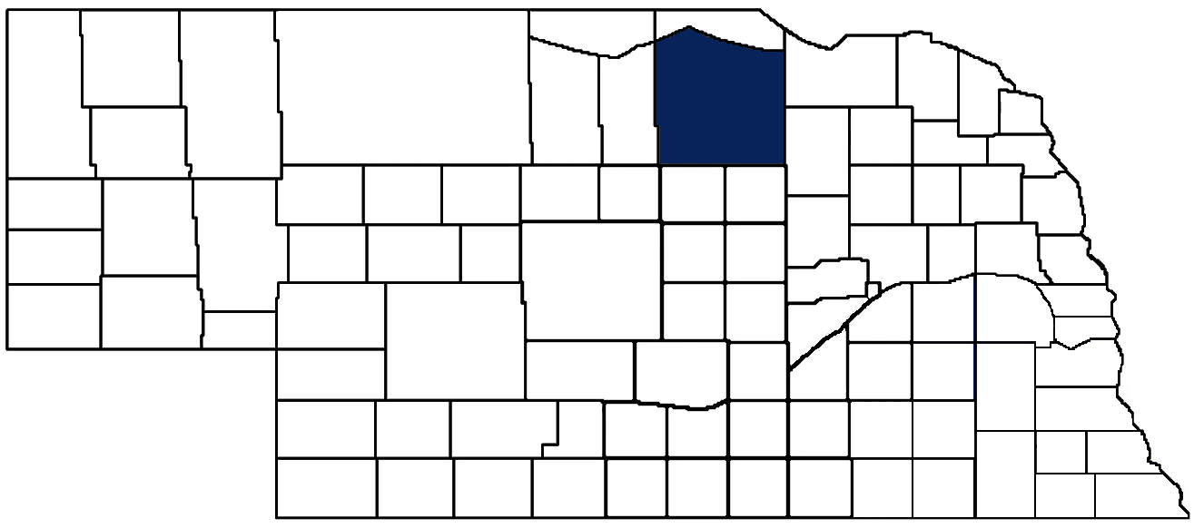
- General Info
- Demographics
- Education and Employment
- Valuation and Taxes Levied
- State Senators
- History
- County Programs
- Other Information
Communities and Development
Holt County Seat: O'Neill
Total County Population: 10,067
- Cities (pop. & class): Atkinson (1,316 • 2nd Class), O'Neill (3,567 • 2nd Class)
- Villages (pop.): Chambers (287), Emmet (45), Ewing (373), Inman (99), Page (165), Stuart (506)
- Unincorporated Pop. (% of county pop.): 3,709 (37%) 2025
Land Development (% of total land in county):
- Agriculture: 89%
- By method: Pasture (pure grassland) (67%); Irrigated (row crop/grain/forage) (19%); Dryland (row crop/grain/forage) (3%) • Neb. Dept. of Rev. - total equals agriculture's %
- By commodity: Livestock (grassland) 65%, Corn 12%, Soybeans 7%, Alfalfa 2% • USDA - equals agriculture's % plus some wetlands (7%) and minus public grassland/wetlands and reserve
- Residential, Commercial, Industrial, Conservation Reserve & Exempt (combined): 7%
- Timber: 4% 2022
County Offices
Courthouse Address and Hours:
204 North 4th Street
O'Neill, Nebraska 68763
M-F 8:00 am - 4:30 pm
Complete list of county board members
County Board Meetings: 1st working day after the 15th & last working day of month
View the County's Government Maps
NACO District: Northeast
Click for a live look at Holt County (southeast of of Inman)
General
Population: 10,067
Land area (sq. mi.): 2,412.40
Population per square mile: 4.2
Race and Age
Race 2024
White: 90.9%
African American: 0.4%
American Indian: 0.2%
Asian: 0.2%
Hispanic: 5.7%
Native Hawaiian and Pacific Islander: 0.0%
Two or More Races: 2.0%
Age 2024
0-17: 25.8%
18-64: 51.2%
65+: 23.0%
Households
Total households: 4,050 2024
With one child: 390 2023
With 2+ children: 740 2023
With seniors (65+): 700 2023
Socioeconomics
Median household income: $68,513 2024
% of Population in Poverty: 11.1% 2024
# of Housing Units: 4,900 2024
Owner-occupied rate: 72.1% 2024
Median home price: $171,910 Q4 2025
2024 building permits for detached single family homes: 10
2024 building permits for non-detached housing units: 0 (townhouse, duplex, or apt. unit)
Technology
Access to broadband (100 Mbps via fiber or cable modem): 82.0% 2025
Sources: National Association of Realtors, Nebraska Department of Revenue, Nebraska Legislature, Nebraska Library Commission, U.S. Bureau of Economic Analysis, U.S. Census Bureau (building permits), U.S. Census Bureau (demographics), U.S. Census Bureau (municipalities)
Employment, Schools, and Child Care
Unemployment rate: 2.5% February 2026
County Employment Website: https://nebraskacounties.org/nebraska-counties/county-employment-opportunities.html
High school graduate or higher: 94.4% 2024
School Districts: Boyd County Schools, Burwell Public Schools, Chambers Public Schools, O-Neill Public Schools, Stuart Public Schools, Summerland Public Schools, Verdigre Public Schools, Wheeler Central Schools, West Hold Public Schools
Bachelor's degree or higher: 29.1% 2024
Community College Service Area: Northeast Community College
Countywide child care capacity: 34 providers; 531 children 2024
Find child care: For a list of child care providers in your zip code, visit Nebraska DHHS or the Nebraska Resource and Referral System.
Holt County Economy
Annual Gross Domestic Product (GDP): $913,311,000 2024
Nonfarm Small Business Receipts: $233,857,795 2023
Nonfarm Wage Income: $200,724,000 2022
Farm and Ranch Commodity Sales Receipts: $648,430,000 2022
Farm and Ranch Operations (Non-Sales) Receipts: $26,741,000 2022
- For components of nonfarm small business receipts, nonfarm wage income, and farm & ranch commodity sales and operations receipts, see "Notes" below.
Grain Elevators by Location (bushels capacity):
- Atkinson: J. E. Meuret (2,783,405)
- O'Neill: Cargill (5,228,000), Dowd (1,595,000)
- (1 bushel = 56 lbs. corn/sorghum, 60 lbs. soybeans/wheat; % max. moisture = 18% beans, 15.5% corn, 14% sorghum/soybeans, 13.5% wheat)
Railroad Miles: 19.58 main, 1.41 side
- Places with Railroad Service: O'Neill, Page
Local Grain Market: Click for today's grain prices in Holt County
Cattle Producers: 658
Crop Producers: 398
- Dryland Cash Rent (avg.): $94/acre 2025
- Irrigated Land Cash Rent (avg.): $270/acre 2025
Dairy Producers: 1
Ethanol Plants (annual production capacity): Sandhills Renewable Energy (53 million gallons)
Electricity Providers: City of Stuart, Elkhorn Rural PPD, Nebraska PPD, Niobrara Valley Electric Member Corp., North Central PPD
Wind Turbines Operating (MW): 200 turbines (400,000 MW total)
Irrigation and Drinking Water
Rural Irrigation/Livestock Wells: 4,748 2026
Rural Commercial/Industrial Wells: 21 2024
Rural Drinking Water Wells: 607 2024
Drinking Water Utility Connections: 2,774 Residential; 495 Commercial; 4 Industrial 2024
Irrigation/Livestock Wells per Square Mile: 1.97 2026
Surface Water Diversions (Irrigation): 264 2024
Click for real time:
Streamflow data on the Elkhorn River at Ewing
Groundwater level data near 500th Ave. & 876th Rd. (8 mi. northeast of O'Neill)
Groundwater level data near Fort Rd. & Davis Rd. (9 mi. southwest of Amelia) • Eastern well in row of 3
Groundwater level data near Fort Rd. & Davis Rd. (9 mi. southwest of Amelia) • Middle well in row of 3
Groundwater level data near Fort Rd. & Davis Rd. (9 mi. southwest of Amelia) • Western well in row of 3
Notes
Holt County Economy
- Nonfarm small business receipts are reported by partnerships and sole proprietorships. They do not include receipts reported by cooperative associations.
- Nonfarm wage income is reported based upon the wage earner's residential address; therefore, it also includes wages earned by Holt County residents in other counties or states, but it excludes wages earned in Holt County by residents of other counties or states.
- Nonfarm wage income excludes wages earned by anyone claimed as a dependent.
- Farm and ranch commodity sales receipts and operations receipts are reported based upon the farm or ranch owner's principal county of operations; therefore, those figures also include receipts reported by producers operating principally in Holt County for their production in other counties or states, but the figures exclude receipts reported for production in Holt County by producers operating principally in other counties or states.
Irrigation and Drinking Water
- A rural irrigation well is any well intended for irrigating crops that, either on its own or as part of a set of commingled wells, is capable of pumping more than fifty (50) gallons of water per minute (gpm). Note that some rural commercial/industrial wells are also capable of pumping more than 50 gpm. In Nebraska, the owner of any well--or set of commingled wells--that is capable of pumping more than 50 gpm must register the well(s) with the state government and have a permit for the well(s) from the local natural resource district (NRD).
- Rural livestock wells and rural drinking water (also known as "domestic") wells are not allowed to pump more than 50 gpm unless permitted by the local NRD. Each rural drinking water well usually serves one single family home, though in rare cases a rural drinking water well serves multiple homes.
- Data on rural livestock wells and rural drinking water wells may be incomplete for wells drilled prior to September 9, 1993. State law does not require wells drilled prior to that date to be registered with the state government if the wells are not capable of pumping more than 50 gpm. Neb. Rev. Stat. § 46-735; see Laws 1993, LB 131, § 25.
Sources: National Agricultural Statistics Service (USDA), Nebraska Cooperative Council, Nebraska Coordinating Commission for Postsecondary Education, Nebraska Department of Health and Human Services, Nebraska Department of Revenue, Nebraska Department of Transportation, Nebraska Office of the CIO, Nebraska Power Review Board, Nebraska Public Service Commission, U.S. Bureau of Economic Analysis, U.S. Bureau of Labor Statistics, U.S. Census Bureau, U.S. Energy Information Administration, U.S. Department of the Treasury (IRS), Warehouse and Commodity Management Division (USDA)
2025 Levies and Valuation
County levy rate: $0.286 per $100 of taxable valuation
County property taxes levied: $11,749,628
Total local government property taxes levied: $42,615,355
Total countywide taxable valuation: $4,114,619,872
Federal PILT payment to Holt County (FY2025): $1,030 regarding 298 federally-owned acres
Click here for all levy rates in Holt County
County Levy and Taxation Laws
Levy limits:
Since 1996, counties and other political subdivisions have been subject to the levy limits listed in Neb. Rev. Stat. § 77-3442 and Neb. Rev. Stat. § 77-3443.
Statutes and regulations:
Nebraska Revised Statutes (Chapter 77)
Nebraska Administrative Code (Title 350)
Local tax reductions, exemptions, and credits:
Neb. Rev. Stat. § 76-902(5)(a) (Deed "stamp tax" exemption): "The [stamp tax] shall not apply to: ... (5)(a) Deeds between spouses, between ex-spouses for the purpose of conveying any rights to property acquired or held during the marriage, or between parent and child, without actual consideration therefor."
Neb. Rev. Stat. § 77-201(2) (Valuation of agricultural land and horticultural land): "Agricultural land and horticultural land as defined in section 77-1359 shall constitute a separate and distinct class of property for purposes of property taxation, shall be subject to taxation, unless expressly exempt from taxation, and shall be valued at seventy-five percent of its actual value, except that for school district taxes levied to pay the principal and interest on bonds that are approved by a vote of the people on or after January 1, 2022, such land shall be valued at fifty percent of its actual value."
Neb. Rev. Stat. § 77-6703(1) (Tax credit for school district taxes paid): "(1) For taxable years beginning or deemed to begin on or after January 1, 2020, under the Internal Revenue Code of 1986, as amended, there shall be allowed to each eligible taxpayer a refundable credit against the income tax imposed by the Nebraska Revenue Act of 1967 or against the franchise tax imposed by sections 77-3801 to 77-3807. The credit shall be equal to the credit percentage for the taxable year, as set by the department under subsection (2) of this section, multiplied by the amount of school district taxes paid by the eligible taxpayer during such taxable year."
Sources: Nebraska Department of Revenue
State Senator: Barry DeKay (District 40)
Committees
- Agriculture
- General Affairs
- Natural Resources
- State-Tribal Relations
- Statewide Tourism And Recreational Water Access and Resource Sustainability (LB406)
Map and statistics for Legislative District 40
Map of all districts in the Nebraska Unicameral Legislature

Holt County History
Number of Registered Historic Places: 11
Year Authorized: 1862
Year Organized: 1876
Etymology: Joseph Holt (U.S. Postmaster General and Secretary of War)
Holt County owes its success not to the “luck of the Irish,” but rather, the resolve, persistence, and resourcefulness of early Irish settlers. Although many different ethnicities inhabited and helped develop Holt County over its rich history, Irish immigrants played a prominent role as European settlers moved westward.
Originally home to several Native American tribes, including the Sioux and Pawnee, the area’s first European explorers were likely French-Canadian hunters and trappers who traded with various Native American tribes along the Niobrara and Elkhorn rivers in the mid-1600’s. Following the Louisiana Purchase in 1803, settlers from the eastern United States began to trickle westward into the Great Plains.
Holt County was authorized for organization in 1862, but it would take another 14 years before it was officially organized. In 1864, John O’Neill (perhaps best known for attacking Canada on several occasions in the 1870’s as part of the Fenian Brotherhood) led a group of Irish immigrants from the eastern U.S. into northeast Nebraska. Finding Holt County suitable for settlement, O’Neill guided additional groups of Irish immigrants into the county for the next several years, and the county seat of O'Neill bears his legacy.
With its budding population and settlements, Holt County petitioned for official organization in 1873, but the county lacked the required 200 residents. In 1876, the county easily cleared that population threshold and a governor’s proclamation official organized Holt County. The population rose to over 3,000 residents in 1880 and spiked to over 13,000 residents in 1890.
Initially, Twin Lakes was designated the Holt County seat, but residents challenged the validity of the election. During the subsequent election, Paddock was selected to be the county seat, only to fall out of favor three years later, due mainly to its extreme northern location. O’Neill, much more centrally located, was chosen by voters, though a courthouse would not grace the city until 1885. By that time, O’Neill was growing rapidly and would eclipse 1,200 residents in less than a decade. Its geographic location and rapid growth allowed the city to fend off several subsequent challenges to move the county seat.
Today, Holt County retains a rich mix of agriculture. Ranchers inhabit the western part of the county while farmers cultivate the eastern part. Nebraska’s top five commodities are cattle, corn, soybeans, hogs, and dairy—all of which Holt County proudly produces.
Highlight an important program in your county in this space! Send an email to:
Local Highlights
License Plate Number: 36
Time Zone: Central
Zoned County: Yes
Number of Veterans: 565 2026
Number of County-Owned Bridges: 196
Number of County-Owned Dams: 1
Election Data
Voter Turnout: 78% 2024
Number of Registered Voters: 6,980 2024
Number of Precincts: 13 2022
Number of Election Day Polling Places: 9 2022
Land Area per Polling Place (avg.): 268.04 sq. miles
Intergovernmental Data
Emergency Mgt. Planning, Exercise and Training (PET) Region: North Central/Sandhills
Natural Resource Districts: Lower Niobrara NRD, Upper Elkhorn NRD
State Lands (acres): Dry Creek WMA (293), Goose Lake WMA (384.90), O. John Emerson WMA (160), Redbird WMA (433.04), Spencer Dam WMA (9)
Sources: Nebraska Department of Transportation, Nebraska Emergency Management Agency, Nebraska Game & Parks Commission, Nebraska Legislature, Nebraska Office of the CIO, Nebraska Secretary of State, U.S. Department of Veterans Affairs, U.S. Election Assistance Commission, U.S. National Archives and Records Administration (eCFR)