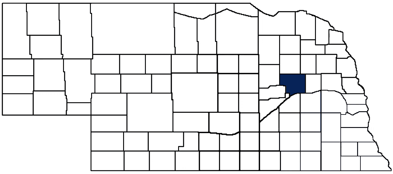
- General Info
- Demographics
- Education and Employment
- Valuation and Taxes Levied
- State Senators
- History
- County Programs
- Other Information
Communities and Development
Platte County Seat: Columbus
Total County Population: 34,296
- Cities (pop. & class): Columbus (24,028 • 1st Class), Humphrey (905 • 2nd Class), Newman Grove (667 • 2nd Class)
- Villages (pop.): Cornlea (33), Creston (181), Duncan (392), Lindsay (283), Monroe (296), Platte Center (333), Tarnov (52)
- Unincorporated Pop. (% of county pop.): 7,823 (23%) 2020
Land Development (% of total land in county):
- Agriculture: 85%
- By method: Irrigated (row crop/grain/forage) (50%); Dryland (row crop/grain/forage) (27%); Pasture (pure grassland) (8%) • Neb. Dept. of Rev. - total equals agriculture's %
- By commodity: Corn 47%, Soybeans 30%, Livestock (grassland) 9%, Alfalfa 2%, Other Hay 1% • USDA - equals agriculture's % plus some wetlands (3%) and minus public grassland/wetlands and reserve
- Residential, Commercial, Industrial, Conservation Reserve & Exempt (combined): 13%
- Timber: 2% 2022
County Offices
Courthouse Address and Hours:
2610 14th Street
Columbus, Nebraska 68601
M-F 8:00 am - 5:00 pm
Complete list of county board members
County Board Meetings: Every other Tuesday
View the County's Government Maps
NACO District: Northeast
General
Population: 34,296
Land area (sq. mi.): 674.05
Population per square mile: 50.9
Race and Age
Race 2020
White: 74.6%
African American: 1.0%
American Indian: 0.3%
Asian: 0.6%
Hispanic: 21.1%
Native Hawaiian and Pacific Islander: 0.0%
Two or More Races: 2.1%
Age 2020
0-17: 26.4%
18-64: 55.8%
65+: 17.8%
Households
Total households: 13,313 2020
With one child: 1,980 2022
With 2+ children: 2,660 2022
With seniors (65+): 3,530 2022
Socioeconomics
Median household income: $72,335 2023
% of Population in Poverty: 9.9% 2023
# of Housing Units: 14,094 2020
Owner-occupied rate: 72.0% 2020
Median home price: $224,780 Q4 2024
2024 building permits for detached single family homes: 71
2024 building permits for non-detached housing units: 27 (townhouse, duplex, or apt. unit)
Technology
Access to broadband (100 Mbps via fiber or cable modem): 84.7% 2021
Sources: National Association of Realtors, Nebraska Department of Revenue, Nebraska Legislature, Nebraska Library Commission, U.S. Bureau of Economic Analysis, U.S. Census Bureau (building permits), U.S. Census Bureau (demographics), U.S. Census Bureau (municipalities)
Employment, Schools, and Child Care
Unemployment rate: 2.5% March 2025
County Employment Website: https://plattecounty.net/webpages/links/public_notices.html
High school graduate or higher: 90.9% 2020
School Districts: Columbus Public Schools, Humphrey Public Schools, Lakeview Community Schools, Leigh Community Schools, Madison Public Schools, Newman Grove Public Schools, Twin River Public Schools, St. Edward Public Schools
Bachelor's degree or higher: 23.4% 2020
Community College Service Area: Central Community College
Countywide child care capacity: 58 providers; 1,875 children 2024
Find child care: For a list of child care providers in your zip code, visit Nebraska DHHS or the Nebraska Resource and Referral System.
Platte County Economy
Annual Gross Domestic Product (GDP): $3,736,456,000 2023
Nonfarm Small Business Receipts: $854,544,008 2022
Nonfarm Wage Income: $873,880,000 2022
Farm and Ranch Commodity Sales Receipts: $1,042,211,000 2022
Farm and Ranch Operations (Non-Sales) Receipts: $24,618,000 2022
- For components of nonfarm small business receipts, nonfarm wage income, and farm & ranch commodity sales and operations receipts, see "Notes" below.
Ethanol Plants (annual production capacity): ADM (100 million gallons), VCP Corn Processing (313 million gallons)
Grain Elevators by Location (bushels capacity):
- Columbus: ADM (3,200,000), Frontier (2,543,636)
- Duncan: CVA (67,000), Frontier (582,059)
- Humphrey: CVA (2,697,000)
- Lindsay: Farmers (5,998,938)
- Monroe: CVA (8,147,000)
- Tarnov: Frontier (1,182,630)
- (1 bushel = 56 lbs. corn/sorghum, 60 lbs. soybeans/wheat; % max. moisture = 18% beans, 15.5% corn, 14% sorghum/soybeans, 13.5% wheat)
Railroad Miles: 115.76 main, 29.40 side
- Places with Railroad Service: Columbus, Duncan, Humphrey, Monroe, Platte Center, Tarnov
Local Grain Market: Click for today's grain prices in Platte County
Cattle Producers: 267
Crop Producers: 465
- Dryland Cash Rent (avg.): $240/acre 2024
Dairy Producers: 2
Farmers Markets:
- Columbus Farmers Market (May - October, Saturdays 7:30 a.m. - 12 p.m.)
- Market23 (Tuesdays - Fridays 10 a.m. - 6 p.m. and Saturdays 8 a.m. - 4 p.m.)
Electricity Providers: Cornhusker PPD, Elkhorn Rural PPD, Loup River PPD
Wind Turbines Operating (MW): 7 turbines (13,700 MW total)
Irrigation and Drinking Water
Rural Irrigation Wells: 2,150 2024
Rural Livestock Wells: 254 2024
Rural Commercial/Industrial Wells: 60 2024
Rural Drinking Water Wells: 1,297 2024
Drinking Water Utility Connections: 9,311 Residential; 1,314 Commercial; 287 Industrial 2024
Surface Water Diversions (Irrigation): 39 2024
Click for real time:
Streamflow data on the Platte River near Duncan
Streamflow data on Shell Creek near Columbus
Notes
Platte County Economy
- Nonfarm small business receipts are reported by partnerships and sole proprietorships. They do not include receipts reported by cooperative associations.
- Nonfarm wage income is reported based upon the wage earner's residential address; therefore, it also includes wages earned by Platte County residents in other counties or states, but it excludes wages earned in Platte County by residents of other counties or states.
- Nonfarm wage income excludes wages earned by anyone claimed as a dependent.
- Farm and ranch commodity sales receipts and operations receipts are reported based upon the farm or ranch owner's principal county of operations; therefore, those figures also include receipts reported by producers operating principally in Platte County for their production in other counties or states, but the figures exclude receipts reported for production in Platte County by producers operating principally in other counties or states.
Irrigation and Drinking Water
- A rural irrigation well is any well intended for irrigating crops that, either on its own or as part of a set of commingled wells, is capable of pumping more than fifty (50) gallons of water per minute (gpm). Note that some rural commercial/industrial wells are also capable of pumping more than 50 gpm. In Nebraska, the owner of any well--or set of commingled wells--that is capable of pumping more than 50 gpm must register the well(s) with the state government and have a permit for the well(s) from the local natural resource district (NRD).
- Rural livestock wells and rural drinking water (also known as "domestic") wells are not allowed to pump more than 50 gpm unless permitted by the local NRD. Each rural drinking water well usually serves one single family home, though in rare cases a rural drinking water well serves multiple homes.
- Data on rural livestock wells and rural drinking water wells may be incomplete for wells drilled prior to September 9, 1993. State law does not require wells drilled prior to that date to be registered with the state government if the wells are not capable of pumping more than 50 gpm. Neb. Rev. Stat. § 46-735; see Laws 1993, LB 131, § 25.
Sources: National Agricultural Statistics Service (USDA), Nebraska Cooperative Council, Nebraska Coordinating Commission for Postsecondary Education, Nebraska Department of Health and Human Services, Nebraska Department of Revenue, Nebraska Department of Transportation, Nebraska Office of the CIO, Nebraska Power Review Board, Nebraska Public Service Commission, U.S. Bureau of Economic Analysis, U.S. Bureau of Labor Statistics, U.S. Census Bureau, U.S. Energy Information Administration, U.S. Department of the Treasury (IRS), Warehouse and Commodity Management Division (USDA)
2024 Levies and Valuation
County levy rate: $0.1846 per $100 of taxable valuation
County property taxes levied: $13,402,589
Total local government property taxes levied: $86,887,325
Total countywide taxable valuation: $7,260,726,942
Click here for all levy rates in Platte County
County Levy and Taxation Laws
Levy limits
Since 1996, counties and other political subdivisions have been subject to the levy limits listed in Neb. Rev. Stat. § 77-3442 and Neb. Rev. Stat. § 77-3443.
Statutes and regulations
Nebraska Revised Statutes (Chapter 77)
Nebraska Administrative Code (Title 350)
Local tax reductions, exemptions, and credits
Neb. Rev. Stat. § 76-902(5)(a) (Deed "stamp tax" exemption): "The [stamp tax] shall not apply to: ... (5)(a) Deeds between spouses, between ex-spouses for the purpose of conveying any rights to property acquired or held during the marriage, or between parent and child, without actual consideration therefor."
Neb. Rev. Stat. § 77-201(2) (Valuation of agricultural land and horticultural land): "Agricultural land and horticultural land as defined in section 77-1359 shall constitute a separate and distinct class of property for purposes of property taxation, shall be subject to taxation, unless expressly exempt from taxation, and shall be valued at seventy-five percent of its actual value, except that for school district taxes levied to pay the principal and interest on bonds that are approved by a vote of the people on or after January 1, 2022, such land shall be valued at fifty percent of its actual value."
Neb. Rev. Stat. § 77-6703(1) (Tax credit for school district taxes paid): "(1) For taxable years beginning or deemed to begin on or after January 1, 2020, under the Internal Revenue Code of 1986, as amended, there shall be allowed to each eligible taxpayer a refundable credit against the income tax imposed by the Nebraska Revenue Act of 1967 or against the franchise tax imposed by sections 77-3801 to 77-3807. The credit shall be equal to the credit percentage for the taxable year, as set by the department under subsection (2) of this section, multiplied by the amount of school district taxes paid by the eligible taxpayer during such taxable year."
Sources: Nebraska Department of Revenue
State Senator: Mike Moser (District 22)
Committees
- Natural Resources
- Transportation and Telecommunications
- Committee On Committees
- Rural Broadband Task Force
Map and statistics for Legislative District 22
Map of all districts in the Nebraska Unicameral Legislature

Platte County History
Number of Registered Historic Places: 22
Year Authorized: 1856
Year Organized: 1856
Etymology: Platte River (French word for "flat")
Named after the Platte River which makes up its southern boundary, Platte County was officially established by the Legislature on Jan. 26, 1856. Three years later its boundaries were redefined to include an area to the west known as Monroe County, giving the county its present boundaries.
In the summer of 1856, advance agents from the Columbus Town Company came to the area from Columbus, Ohio. Upon reaching the Loup River the agents marked the site for a future town to be called Columbus. The new settlement quickly grew and soon had a mill, hotel and general store. The first meeting of the Board of Commissioners was conducted in December 1857 in a log house and it would be more than 10 years before the county would have a courthouse.
When the Union Pacific Railroad headed west through Columbus in 1866, the area's growth accelerated at a faster pace. The following year a special election was held to approve the issuance of $16,000 in bonds to build a courthouse and jail. Construction was completed in 1870.
Another boost to the county came in 1881 when the Atchison and Nebraska Branch of the Burlington and Missouri River Railroad constructed a rail line connecting Columbus with Lincoln. Columbus rapidly became a flourishing railroad center and commerce hub.
The courthouse that was completed in 1870 was soon outgrown by the county. On June 26, 1922, the current courthouse was dedicated. The Grecian-Ionic style structure occupied a quarter-block in downtown Columbus when it opened. But in the early 1970s, the need for additional space once again became apparent and a $1.76 million addition opened in September 1976. The two-story addition houses the sheriff's office, civil defense office, County Board room, treasurer's office and the courtrooms.
Platte County enjoys a diverse economy today. Farming and livestock production, along with manufacturing, lead the way. Among the many manufacturing operations to locate in the county is Lindsay Irrigation, known worldwide for its center pivot systems.
Highlight an important program in your county in this space! Send an email to:
Local Highlights
License Plate Number: 10
Time Zone: Central
Number of Veterans: 1,527 2023
Zoned County: No
Number of County-Owned Bridges: 368
Number of County-Owned Dams: 1
Election Data
General Election Turnout: 77% 2024
Total Registered Voters: 20,823 2024
Number of Precincts: 27 2022
Number of Election Day Polling Places: 25 2022
Land Area per Polling Place (avg.): 27.38 sq. miles
Intergovernmental Data
Emergency Mgt. Planning, Exercise and Training (PET) Region: East Central
Natural Resource Districts: Central Platte NRD, Lower Elkhorn NRD, Lower Loup NRD, Lower Platte North NRD
State Lands (acres): Flat Water Landing WMA (6), George D. Syas WMA (899.80), Lee Rupp WMA (67), Wilkinson WMA (939.57)
Sources: Nebraska Department of Transportation, Nebraska Emergency Management Agency, Nebraska Game & Parks Commission, Nebraska Legislature, Nebraska Office of the CIO, Nebraska Secretary of State, U.S. Department of Veterans Affairs, U.S. Election Assistance Commission, U.S. National Archives and Records Administration (eCFR)