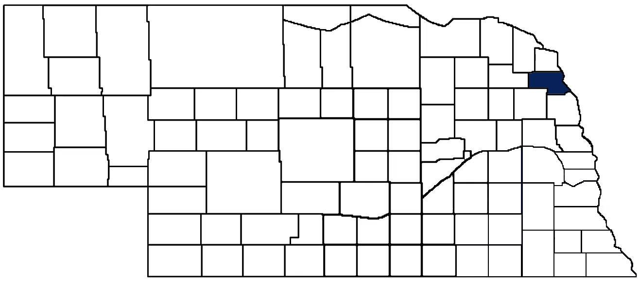
- General Info
- Demographics
- Education and Employment
- Valuation and Taxes Levied
- State Senators
- History
- County Programs
- Other Information
Communities and Development
Thurston County Seat: Pender
Total County Population: 6,773
- Villages (pop.): Emerson (840), Macy (1,045), Pender (1,115), Rosalie (159), Thurston (116), Walthill (682), Winnebago (916)
- Unincorporated Pop. (% of county pop.): 3,679 (54%) 2020
Land Development (% of total land in county):
- Agriculture: 69%
- By method: Dryland (row crop/grain/forage) (60%); Irrigated (row crop/grain/forage) (5%); Pasture (pure grassland) (3%) • Neb. Dept. of Rev. - total equals agriculture's %
- By commodity: Corn 40%, Soybeans 32%, Livestock (grassland) 7%, Alfalfa 4%, Other Hay 1% • USDA - equals agriculture's % plus some wetlands (2%) and minus public grassland/wetlands and reserve
- Residential, Commercial, Industrial, Conservation Reserve & Exempt (combined): 29%
- Timber: 2% 2022
County Offices
Courthouse Address and Hours:
106 South 5th Street
Pender, Nebraska 68047
M-F 8:30 am - 5:00 pm
Complete list of county board members
County Board Meetings: Every other Monday
View the County's Government Maps
NACO District: Northeast
Click for a live look at Thurston County (south of Winnebago)
General
Population: 6,620
Land area (sq. mi.): 393.58
Population per square mile: 17.2
Race and Age
Race 2020
White: 36.1%
African American: 0.4%
American Indian: 57.5%
Asian: 0.1%
Hispanic: 3.8%
Native Hawaiian and Pacific Islander: 0.1%
Two or More Races: 1.8%
Age 2020
0-17: 36.0%
18-64: 51.9%
65+: 12.0%
Households 2020
Total households: 380 2020
With one child: 590 2022
With 2+ children: 970 2022
With seniors (65+): 440 2022
Socioeconomics
Median household income: $64,838 2023
% of Population in Poverty: 19.7% 2023
# of Housing Units: 2,283 2020
2023 housing unit building permits: 13
Owner-occupied rate: 62.8% 2020
Median home price: $113,690 Q4 2024
2024 building permits for detached single family homes: 3
2024 building permits for non-detached housing units: 8 (townhouse, duplex, or apt. unit)
Technology
Access to broadband (100 Mbps via fiber or cable modem): 19.0% 2021
Sources: National Association of Realtors, Nebraska Department of Revenue, Nebraska Legislature, Nebraska Library Commission, U.S. Bureau of Economic Analysis, U.S. Census Bureau (building permits), U.S. Census Bureau (demographics), U.S. Census Bureau (municipalities)
Employment, Schools, and Child Care
Unemployment rate: 2.9% March 2025
County Employment Website: https://thurstoncountynebraska.us/webpages/links/public_notices.html
High school graduate or higher: 89.5% 2020
School Districts: Emerson-Hubbard Public Schools, Homer Community Schools, Pender Public Schools, Umo N Ho N Nation Public Schools, Wakefield Public Schools, Walthill Public Schools, Winnebago Public Schools
Bachelor's degree or higher: 18.9% 2020
Community College Service Area: Northeast Community College
Countywide child care capacity: 9 providers; 483 children 2024
Find child care: For a list of child care providers in your zip code, visit Nebraska DHHS or the Nebraska Resource and Referral System.
Thurston County Economy
Annual Gross Domestic Product (GDP): $662,109,000 2023
Nonfarm Small Business Receipts: $31,274,250 2022
Nonfarm Wage Income: $103,450,000 2022
Farm and Ranch Commodity Sales Receipts: $190,222,000 2022
Farm and Ranch Operations (Non-Sales) Receipts: $12,585,000 2022
- For components of nonfarm small business receipts, nonfarm wage income, and farm & ranch commodity sales and operations receipts, see "Notes" below.
Grain Elevators by Location (bushel capacity):
- Pender: Pender Grain Elevator (918,741)
- Thurston: Pender Grain Elevator (2,171,807)
- Walthill: Mid Plains Grain (capacity unknown)
- (1 bushel = 56 lbs. corn/sorghum, 60 lbs. soybeans/wheat; % max. moisture = 18% beans, 15.5% corn, 14% sorghum/soybeans, 13.5% wheat)
Railroad Miles: 18.49 main, 4.46 side
- Places with Railroad Service: Rosalie, Walthill, Winnebago
Local Grain Market: Click for today's grain prices in Thurston County
Cattle Producers: 69
- Pastureland Cash Rent (avg.): $76/acre 2024
Crop Producers: 48
- Dryland Cash Rent (avg.): $275/acre 2024
Dairy Producers: 1
Electricity Providers: Burt County PPD, City of Emerson, City of Pender, Cuming County PPD, Nebraska PPD, Northeast Power, Village of Walthill
Irrigation and Drinking Water
Rural Irrigation Wells: 141 2024
Rural Livestock Wells: 17 2024
Rural Commercial/Industrial Wells: 1 2024
Rural Drinking Water Wells: 74 2024
Drinking Water Utility Connections: 1,474 Residential; 216 Commercial; 4 Industrial; 240 Combined 2024
- Combined drinking water utility connections are part of Winnebago Tribal Facilities in Macy, Nebraska
Surface Water Diversions (Irrigation): 13 2024
Click for real time:
Streamflow data on South Omaha Creek at Walthill
Notes
Thurston County Economy
- Nonfarm small business receipts are reported by partnerships and sole proprietorships. They do not include receipts reported by cooperative associations.
- Nonfarm wage income is reported based upon the wage earner's residential address; therefore, it also includes wages earned by Thurston County residents in other counties or states, but it excludes wages earned in Thurston County by residents of other counties or states.
- Nonfarm wage income excludes wages earned by anyone claimed as a dependent.
- Farm and ranch commodity sales receipts and operations receipts are reported based upon the farm or ranch owner's principal county of operations; therefore, those figures also include receipts reported by producers operating principally in Thurston County for their production in other counties or states, but the figures exclude receipts reported for production in Thurston County by producers operating principally in other counties or states.
Irrigation and Drinking Water
- A rural irrigation well is any well intended for irrigating crops that, either on its own or as part of a set of commingled wells, is capable of pumping more than fifty (50) gallons of water per minute (gpm). Note that some rural commercial/industrial wells are also capable of pumping more than 50 gpm. In Nebraska, the owner of any well--or set of commingled wells--that is capable of pumping more than 50 gpm must register the well(s) with the state government and have a permit for the well(s) from the local natural resource district (NRD).
- Rural livestock wells and rural drinking water (also known as "domestic") wells are not allowed to pump more than 50 gpm unless permitted by the local NRD. Each rural drinking water well usually serves one single family home, though in rare cases a rural drinking water well serves multiple homes.
- Data on rural livestock wells and rural drinking water wells may be incomplete for wells drilled prior to September 9, 1993. State law does not require wells drilled prior to that date to be registered with the state government if the wells are not capable of pumping more than 50 gpm. Neb. Rev. Stat. § 46-735; see Laws 1993, LB 131, § 25.
Sources: National Agricultural Statistics Service (USDA), Nebraska Cooperative Council, Nebraska Coordinating Commission for Postsecondary Education, Nebraska Department of Health and Human Services, Nebraska Department of Revenue, Nebraska Department of Transportation, Nebraska Office of the CIO, Nebraska Power Review Board, Nebraska Public Service Commission, U.S. Bureau of Economic Analysis, U.S. Bureau of Labor Statistics, U.S. Census Bureau, U.S. Energy Information Administration, U.S. Department of the Treasury (IRS), Warehouse and Commodity Management Division (USDA)
2024 Levies and Valuation
County levy rate: $0.3378 per $100 of taxable valuation
County property taxes levied: $4,356,015
Total local government property taxes levied: $16,944,176
Total countywide taxable valuation: $1,289,469,638
Federal PILT payment to Thurston County (FY2024): $1,486 regarding 444 federally-owned acres
Click here for all levy rates in Thurston County
County Levy and Taxation Laws
Levy limits
Since 1996, counties and other political subdivisions have been subject to the levy limits listed in Neb. Rev. Stat. § 77-3442 and Neb. Rev. Stat. § 77-3443.
Statutes and regulations
Nebraska Revised Statutes (Chapter 77)
Nebraska Administrative Code (Title 350)
Local tax reductions, exemptions, and credits
Neb. Rev. Stat. § 76-902(5)(a) (Deed "stamp tax" exemption): "The [stamp tax] shall not apply to: ... (5)(a) Deeds between spouses, between ex-spouses for the purpose of conveying any rights to property acquired or held during the marriage, or between parent and child, without actual consideration therefor."
Neb. Rev. Stat. § 77-201(2) (Valuation of agricultural land and horticultural land): "Agricultural land and horticultural land as defined in section 77-1359 shall constitute a separate and distinct class of property for purposes of property taxation, shall be subject to taxation, unless expressly exempt from taxation, and shall be valued at seventy-five percent of its actual value, except that for school district taxes levied to pay the principal and interest on bonds that are approved by a vote of the people on or after January 1, 2022, such land shall be valued at fifty percent of its actual value."
Neb. Rev. Stat. § 77-6703(1) (Tax credit for school district taxes paid): "(1) For taxable years beginning or deemed to begin on or after January 1, 2020, under the Internal Revenue Code of 1986, as amended, there shall be allowed to each eligible taxpayer a refundable credit against the income tax imposed by the Nebraska Revenue Act of 1967 or against the franchise tax imposed by sections 77-3801 to 77-3807. The credit shall be equal to the credit percentage for the taxable year, as set by the department under subsection (2) of this section, multiplied by the amount of school district taxes paid by the eligible taxpayer during such taxable year."
Sources: Nebraska Department of Revenue
State Senator: Glen Meyer (District 17)
Committees
- Education
- Health and Human Services
- State-Tribal Relations
Map and statistics for Legislative District 17
Map of all districts in the Nebraska Unicameral Legislature

Thurston County History
Number of Registered Historic Places: 5
Year Authorized: 1889
Year Organized: 1889
Etymology: John Thurston (U.S. senator)
Almost a decade before Nebraska became a state, the federal government established a reservation for the Omaha Indian tribe in what today is Thurston County, as well as small portions of Dixon, Burt and Cuming Counties. Eventually the northern half of the reservation was purchased from the Omahas for use as a reservation for the Winnebago tribe. The two reservations are still in existence today and cover the entire Thurston County area.
The county's boundaries were established in 1855 by the Territorial Legislature. For a time the area was referred to as Blackbird County, in honor of Omaha Indian Chief Blackbird. When legislators attempted to formally name the county Blackbird in 1887, Gov. John Thayer vetoed the proposal. Two years later the Legislature adopted an act establishing the county's present boundaries and officially naming it after U.S. Sen. John M. Thurston of Nebraska.
There is an interesting footnote regarding Chief Blackbird. One of his favorite campsites was located on a hill overlooking the Missouri River. According to Indian legend, when Chief Blackbird died his followers seated him on his horse and buried him at this site.
Federal government officials opened a portion of the Omaha Reservation to white settlers in 1884. The following year the area's first village was established. Buildings from the hamlet of Athens were moved to what is now Pender, the county seat, about two miles to the northwest.
With the passage of the railroads through Thurston County in the early 1900s, additional communities began to be established. One of those communities is Emerson, located in the far northwest corner of the county. Emerson is unique in that it is actually Nebraska's only tri-county community, with sections actually platted in Thurston, Dixon and Dakota counties. Visitors who attempt to locate the exact spot where than can stand and be in all three counties have a difficult time, however, since it is located on Main Street, which is also a state highway.
Highlight an important program in your county in this space! Send an email to:
Local Highlights
License Plate Number: 55
Time Zone: Central
Zoned County: Yes
Number of Veterans: 323 2023
Number of County-Owned Dams: 0
Election Data
General Election Turnout: 55% 2024
Total Registered Voters: 3,810 2024
Number of Precincts: 6 2022
Number of Election Day Polling Places: 6 2022
Land Area per Polling Place (avg.): 66.10 sq. miles
Intergovernmental Data
Emergency Mgt. Planning, Exercise and Training (PET) Region: Northeast
Natural Resource Districts: Lower Elkhorn NRD, Papio-Missouri River NRD
Number of County-Owned Bridges: 113
Sources: Nebraska Department of Transportation, Nebraska Emergency Management Agency, Nebraska Game & Parks Commission, Nebraska Legislature, Nebraska Office of the CIO, Nebraska Secretary of State, U.S. Department of Veterans Affairs, U.S. Election Assistance Commission, U.S. National Archives and Records Administration (eCFR)