- General Info
- Demographics
- Education and Employment
- Valuation and Taxes Levied
- State Senators
- History
- County Programs
- Other Information
Communities and Development
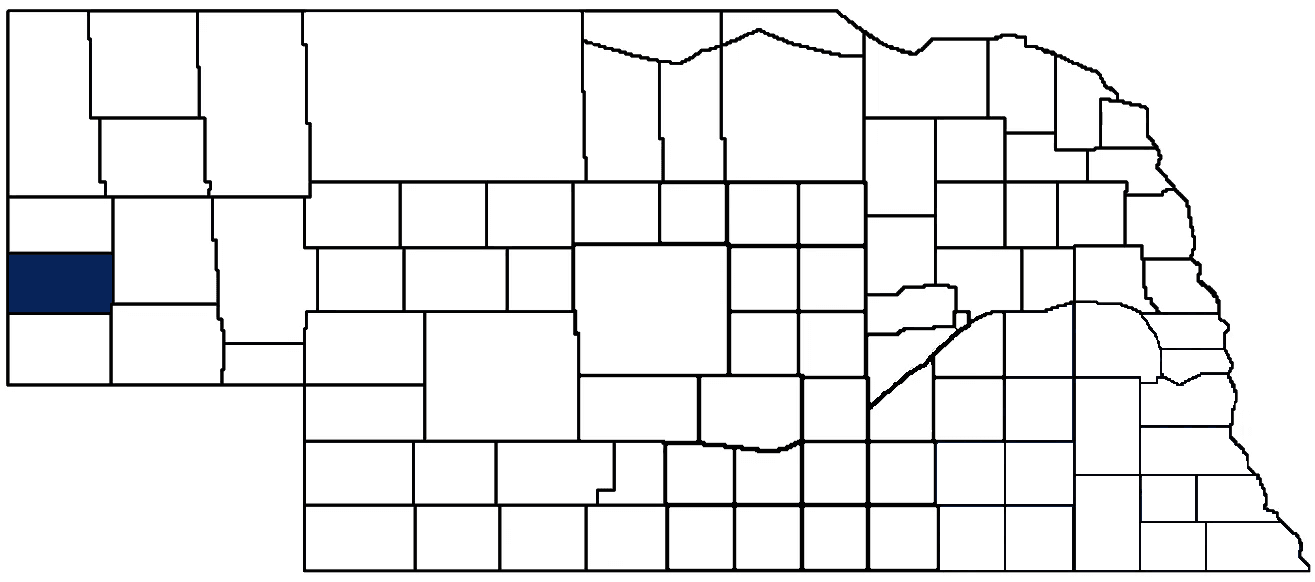
Banner County Seat: Harrisburg
Total County Population: 686
- Municipalities: None
- Unincorporated Pop. (% of total county pop.): 686 (100%) 2025
Land Development (% of total land in county):
- Agriculture: 85%
- By method: Pasture (pure grassland) (54%), Dryland (row crop/grain/forage) (26%), Irrigated (row crop/grain/forage) (5%) • Total equals agriculture's % above
- By commodity: Livestock (grassland) 67%, Wheat 8%, Corn 5%, Millet 3%, Alfalfa 2%, Other Hay 1%, Dry Beans 1% • Total equals agriculture's % above, plus some fallow land (8%), some wooded grazing land (2%), and some wetlands (0.25%) and minus public grassland/wetlands and reserve
- Residential, Commercial, Industrial, Conservation Reserve & Exempt (combined): 15% 2022
County Offices
Courthouse Address and Hours:
204 State Street
Harrisburg, Nebraska 69345
M-F 7:30 am - 12:00pm; 12:30 pm - 4:30pm
Complete list of county board members
County Board Meetings: 1st & 3rd Tuesday
View the County's Government Maps
NACO District: Panhandle
General
Population: 686
Land area (sq. mi.): 746.04
Population per square mile: 0.9
Race & Age
Race 2020
White: 85.8%
African American: 0.0%
American Indian: 0.0%
Asian: 0.0%
Hispanic: 10.6%
Native Hawaiian and Pacific Islander: 0.0%
Two or More Races: 2.4%
Age 2020
0-17: 20.5%
18-64: 47.8%
65+: 30.0%
Households
Total households: 305 2024
With one child: 40 2023
With 2+ children: 70 2023
With seniors (65+): 40 2023
Socioeconomics
Median household income: $78,839 2024
% of population in poverty: 10.8% 2024
# of housing units: 383 2024
Owner-occupied rate: 73.0% 2024
Median home price: $214,190 Q4 2025
2025 building permits for detached single family homes: Data unavailable
2025 building permits for non-detached housing units: Data unavailable (townhouse, duplex, or apt. unit)
Technology
Access to broadband (100 Mbps via fiber or cable model): 62.6% 2025
Sources: National Association of Realtors, Nebraska Department of Revenue, Nebraska Legislature, Nebraska Library Commission, U.S. Bureau of Economic Analysis, U.S. Census Bureau (demographics), U.S. Census Bureau (municipalities)
Employment and Schools
Unemployment rate: 3.5% February 2026
County Employment Website: https://bannercountyne.gov/job-openings
High school graduate or higher: 89.7% 2024
Bachelor's degree or higher: 33.6% 2024
School Districts: Banner County Public Schools, Bayard Public Schools, Potter-Dix Public Schools
Community College Service Area: Western Community College
Banner County Economy
Annual Gross Domestic Product (GDP): $48,742,000 2024
Nonfarm Small Business Receipts: $3,085,451 2023
Nonfarm Wage Income: $12,094,000 2022
Farm & Ranch Commodity Sales Receipts: $106,968,000 2022
Farm & Ranch Operations (Non-Sales) Receipts: $6,519,000 2022
- For components of nonfarm small business receipts, nonfarm wage income, and farm & ranch commodity sales and operations receipts, see "Notes" below.
Cattle Producers: 100
Crop Producers: 59
- Dryland Cash Rent (avg.): $30/acre 2025
- Irrigated Land Cash Rent (avg.): $202/acre 2025
Oil & Gas Wells Producing (barrels of oil): 92 wells (71,270 barrels) 2025
Electricity Providers: Chimney Rock PPD, High West Energy, Roosevelt PPD, Wheat Belt PPD, Wyrulec Company
Notes
- Nonfarm small business receipts are reported by partnerships and sole proprietorships. They do not include receipts reported by cooperative associations.
- Nonfarm wage income is reported based upon the wage earner's residential address; therefore, it also includes wages earned by Banner County residents in other counties or states, but it excludes wages earned in Banner County by residents of other counties or states.
- Nonfarm wage income excludes wages earned by anyone claimed as a dependent.
- Farm and ranch commodity sales receipts and operations receipts are reported based upon the farm or ranch owner's principal county of operations; therefore, those figures also include receipts reported by producers operating principally in Banner County for their production in other counties or states, but the figures exclude receipts reported for production in Banner County by producers operating principally in other counties or states.
Irrigation, Drinking Water, and Soils
Rural Irrigation/Livestock Wells: 505 2026
Rural Commercial/Industrial Wells: 16 2026
Rural Drinking Water Wells: 30 2026
Drinking Water Utility Connections: 50 Residential; 1 Commercial; 0 Industrial 2024
Irrigation/Livestock Wells per Square Mile: 0.68 2026
Surface Water Diversions (Irrigation): 36 2024
Click for real time:
Groundwater level data near NE Hwy 88 at Nebraska/Wyoming border
Click the section numbers in the grid below the map for annual groundwater levels.
Note: Geocodes in the map's squares are in the grid next to Township & Range (T&R).
Sources: National Agricultural Statistics Service (USDA), Nebraska Cooperative Council, Nebraska Coordinating Commission for Postsecondary Education, Nebraska Department of Health and Human Services, Nebraska Department of Revenue, Nebraska Department of Transportation, Nebraska Office of the CIO, Nebraska Power Review Board, Nebraska Public Service Commission, U.S. Bureau of Economic Analysis, U.S. Bureau of Labor Statistics, U.S. Census Bureau, U.S. Energy Information Administration, U.S. Department of the Treasury (IRS), Warehouse and Commodity Management Division (USDA)
2025 Levies and Valuations
County levy rate: $0.390 per $100 of taxable valuation
County property taxes levied: $1,382,009
Total local government property taxes levied: $4,581,543
Total countywide taxable valuation: $354,360,410
Click here for all levy rates in Banner County
County Levy and Taxation Laws
Levy limits
Since 1996, counties and other political subdivisions have been subject to the levy limits listed in Neb. Rev. Stat. § 77-3442 and Neb. Rev. Stat. § 77-3443.
Statutes and regulations
Nebraska Revised Statutes (Chapter 77)
Nebraska Administrative Code (Title 350)
Local tax reductions, exemptions, and credits:
Neb. Rev. Stat. § 76-902(5)(a) (Deed "stamp tax" exemption): "The [stamp tax] shall not apply to: ... (5)(a) Deeds between spouses, between ex-spouses for the purpose of conveying any rights to property acquired or held during the marriage, or between parent and child, without actual consideration therefor."
Neb. Rev. Stat. § 77-201(2) (Agricultural land horticultural assessment): "Agricultural land and horticultural land as defined in section 77-1359 shall constitute a separate and distinct class of property for purposes of property taxation, shall be subject to taxation, unless expressly exempt from taxation, and shall be valued at seventy-five percent of its actual value, except that for school district taxes levied to pay the principal and interest on bonds that are approved by a vote of the people on or after January 1, 2022, such land shall be valued at fifty percent of its actual value."
Neb. Rev. Stat. § 77-6703(1) (Tax credit for school district taxes paid): "(1) For taxable years beginning or deemed to begin on or after January 1, 2020, under the Internal Revenue Code of 1986, as amended, there shall be allowed to each eligible taxpayer a refundable credit against the income tax imposed by the Nebraska Revenue Act of 1967 or against the franchise tax imposed by sections 77-3801 to 77-3807. The credit shall be equal to the credit percentage for the taxable year, as set by the department under subsection (2) of this section, multiplied by the amount of school district taxes paid by the eligible taxpayer during such taxable year."
Sources: Nebraska Department of Revenue
State Senator: Brian Hardin (District 48)
Committees:
Map and statistics for Legislative District 48
Map of all districts in the Nebraska Unicameral Legislature

Banner County History
Number of Registered Historic Places: 1
Year Authorized: 1888
Year Organized: 1888
Etymology: Aspiration to become the “banner county” of Nebraska
According to tradition, Banner County derives its name from the aspirations of the inhabitants to become the "banner county" of Nebraska. The area that today makes up Banner County was originally part of Cheyenne County, then much larger. In 1888, Banner, Kimball, and Scotts Bluff Counties were carved out of the western third of Cheyenne County. The county seal features a banner bearing a pumpkin, named for Pumpkin Creek which crosses the county west to east. Banner County was officially organized in 1889, and residents designated Ashford the temporary county seat. A month later, a special election was held in which Harrisburg was chosen as the county seat over Ashford, Banner, and Freeport.
Banner County is home to the C.C. Hampton Homestead (also known as Warner Ranch), listed on the National Register of Historical Places. Hampton was a farmer who advocated for water conservation in the late 19th and early 20th centuries; he also promoted windmills and farming in a predominantly ranching county.
More recently, Banner County played a unique role in the constitutional history of local government in the state. In a 1987 case before the Nebraska Supreme Court, Banner County successfully argued that real property valuation must be performed uniformly within each property classification, as established by the Nebraska Constitution.
Highlight an important program in your county in this space! Send an email to:
Local Highlights
License Plate Number: 85
Time Zone: Mountain
Number of Veterans: 40 2026
Zoned County: No
Number of County-Owned Bridges: 12
Election Data
General Election Turnout: 75% 2024
Total Registered Voters: 520 2024
Number of Precincts: 1 2024
Number of Election Day Polling Places: 1 2024
Land Area per Polling Place: 746.04 sq. miles
Intergovernmental Data
Emergency Mgt. Planning, Exercise and Training (PET) Region: Panhandle
Natural Resource Districts: North Platte NRD
State Lands (acres): Buffalo Creek WMA (4,141.32 Banner & Scotts Bluff), Williams Gap WMA (1,829)
Sources: Nebraska Department of Transportation, Nebraska Emergency Management Agency, Nebraska Game & Parks Commission, Nebraska Legislature, Nebraska Office of the CIO, Nebraska Secretary of State, U.S. Department of Veterans Affairs, U.S. Election Assistance Commission, U.S. National Archives and Records Administration (eCFR)