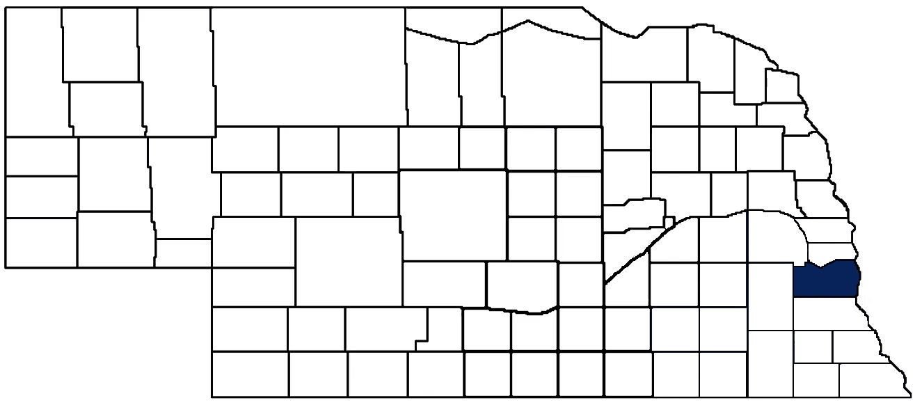
- General Info
- Demographics
- Education and Employment
- Valuation and Taxes Levied
- State Senators
- History
- County Programs
- Other Information
Communities & Development
Cass County Seat: Plattsmouth
Total County Population: 27,657
- Cities (pop. & class): Louisville (1,419 • 2nd Class), Plattsmouth (6,955 • 1st Class), Weeping Water (1,061 • 2nd Class)
- Villages (pop.): Alvo (125), Avoca (187), Cedar Creek (476), Eagle (1,206), Elmwood (684), Greenwood (616), Manley (174), Murdock (276), Murray (502), Nehawka (178), South Bend (94), Union (200)
- Unincorporated Pop. (% of county pop.): 13,504 (49%) 2025
Land Development (% of total land in county):
- Agriculture: 76%
- By method: Dryland (row crop/grain/forage) (71%); Pasture (pure grassland) (4%); Irrigated (row crop/grain/forage) (1%) • Neb. Dept. of Rev. - total equals agriculture's %
- By commodity: Corn 41%, Soybeans 33%, Livestock (grassland) 12%, Alfalfa 2%, Other Hay 1% • USDA (NLCD) - equals agriculture's % plus some wetlands (1%) and minus public grassland/wetlands and reserve
- Residential, Commercial, Industrial, Conservation Reserve & Exempt (combined): 17% 2020
- Timber: 6%
County Offices
Courthouse Address and Hours:
346 Main Street
Plattsmouth, Nebraska 68048
M-F 8:00 am - 4:30 pm
Complete list of county board members
County Board Meetings: Every other Tuesday
View the County's Government Maps
NACO District: Southeast
Click for a live look at Cass County (US Hwy 34 & NE Hwy 50)
General
Population: 27,657
Land area (sq. mi.): 557.35
Population per square mile: 49.6
Race & Age
Race 2024
White: 90.5%
African American: 0.3%
American Indian: 0.2%
Asian: 0.3%
Hispanic: 4.1%
Native Hawaiian and Pacific Islander: 0.1%
Two or More Races: 3.6%
Age 2024
0-17: 23.0%
18-64: 59.0%
65+: 18.4%
Households
Total households: 10,832 2024
With one child: 1,430 2023
With 2+ children: 1,810 2023
With seniors (65+): 1,530 2023
Socioeconomics
Median household income: $91,836 2024
% of Population in Poverty: 6.2% 2024
# of Housing Units: 11,875 2024
Owner-occupied rate: 82.9% 2024
Median home price: $263,960 Q4 2025
2025 building permits for detached single family homes: 62
2025 building permits for non-detached housing units: 0 (townhouse, duplex, or apt. unit)
Technology
Access to broadband (100 Mbps via fiber or cable modem): 96.8% 2025
Sources: National Association of Realtors, Nebraska Department of Revenue, Nebraska Legislature, Nebraska Library Commission, U.S. Bureau of Economic Analysis, U.S. Census Bureau (building permits), U.S. Census Bureau (demographics), U.S. Census Bureau (municipalities)
Employment, Schools, and Child Care
Unemployment rate: 3.2% February 2026
County Employment Website: https://www.casscountyne.gov/job-opportunities
High school graduate or higher: 96.0% 2024
School Districts: Ashland-Greenwood Public Schools, Conestoga Public Schools, Elmwood-Murdock Public Schools, Nebraska City Public Schools, Louisville Public Schools, Plattsmouth Community Schools, Syracuse-Dunbar-Avoca Schools, Waverly School District 145, Weeping Water Public Schools
Bachelor's degree or higher: 32.2% 2024
Community College Service Area: Southeast College
Countywide child care capacity: 25 providers; 1,047 children 2026
Find child care: For a list of child care providers in your zip code, visit Nebraska DHHS or the Nebraska Resource and Referral System.
Cass County Economy
Annual Gross Domestic Product (GDP): $1,147,969,000 2024
Nonfarm Small Business Receipts: $188,387,803 2023
Nonfarm Wage Income: $789,467,000 2022
Farm and Ranch Commodity Sales Receipts: $200,113,000 2022
Farm and Ranch Operations (Non-Sales) Receipts: $13,178,000 2022
- For components of nonfarm small business receipts, nonfarm wage income, and farm & ranch commodity sales and operations receipts, see "Notes" below.
Grain Elevators by Location (bushels capacity):
- Avoca: Frontier (211,120)
- Eagle: Frontier (409,844)
- Elmwood: Frontier (3,222,458)
- Greenwood: Frontier (4,298,351)
- Manley: Frontier (1,029,547)
- Murdock: Frontier (721,616)
- Plattsmouth: Frontier (2,367,694)
- (1 bushel = 56 lbs. corn/sorghum, 60 lbs. soybeans/wheat; % max. moisture = 18% beans, 15.5% corn, 14% sorghum/soybeans, 13.5% wheat)
Railroad Miles: 104.12 main, 20.29 side
- Places with Railroad Service: Cedar Creek, Cullom, Greenwood, Louisville, Manley, Murray, Nehawka, Plattsmouth, South Bend, Weeping Water
Local Grain Market: Click for today's grain prices in Cass County
Cattle Producers: 173
- Pastureland Cash Rent (avg.): $44/acre/yr 2025
Crop Producers: 37
- Dryland Land Cash Rent (avg.): $230/acre/yr 2025
Farmers Markets:
- Eagle Farmers Market (May 30 - August 29, Thursdays 4 p.m. to 7 p.m.) (Closed July 4)
- Farmers Market at The Hop Yard (May - October, Thursday evenings)
- Plattsmouth Downtown Farmers Market (June - October, Saturdays)
Electricity Providers: Nebraska PPD, Omaha PPD, Village of Greenwood
Notes
- Nonfarm small business receipts are reported by partnerships and sole proprietorships. They do not include receipts reported by cooperative associations.
- Nonfarm wage income is reported based upon the wage earner's residential address; therefore, it also includes wages earned by Cass County residents in other counties or states, but it excludes wages earned in Cass County by residents of other counties or states.
- Nonfarm wage income excludes wages earned by anyone claimed as a dependent.
- Farm and ranch commodity sales receipts and operations receipts are reported based upon the farm or ranch owner's principal county of operations; therefore, those figures also include receipts reported by producers operating principally in Cass County for their production in other counties or states, but the figures exclude receipts reported for production in Cass County by producers operating principally in other counties or states.
Irrigation, Drinking Water, and Soils
Rural Irrigation/Livestock Wells: 59 2026
Rural Commercial/Industrial Wells: 31 2026
Rural Drinking Water Wells: 619 2026
Drinking Water Utility Connections: 9,326 Residential; 665 Commercial; 0 Industrial 2024
Irrigation/Livestock Wells per Square Mile: 0.11 2026
Surface Water Diversions (Irrigation): 153 2024
Click for real time:
Stream data on Salt Creek at Greenwood
Stream data on Weeping Water Creek at Union
Groundwater level data 1/4 mi. west of Elmwood
Groundwater level data in Greenwood
Sources: National Agricultural Statistics Service (USDA), Nebraska Cooperative Council, Nebraska Coordinating Commission for Postsecondary Education, Nebraska Department of Health and Human Services, Nebraska Department of Revenue, Nebraska Department of Transportation, Nebraska Office of the CIO, Nebraska Power Review Board, Nebraska Public Service Commission, U.S. Bureau of Economic Analysis, U.S. Bureau of Labor Statistics, U.S. Census Bureau, U.S. Energy Information Administration, U.S. Department of the Treasury (IRS), Warehouse and Commodity Management Division (USDA)
2025 Levies and Valuations
County levy rate: $0.354 per $100 of taxable valuation
County property taxes levied: $18,656,942
Total local government property taxes levied: $87,636,564
Total countywide taxable valuation: $5,265,616,721
Federal PILT payment to Cass County (FY2025): $8,417 regarding 2,434 federally-owned acres
Click here for all levy rates in Cass County
County Levy and Taxation Laws
Levy limits
Since 1996, counties and other political subdivisions have been subject to the levy limits listed in Neb. Rev. Stat. § 77-3442 and Neb. Rev. Stat. § 77-3443.
Statutes and regulations
Nebraska Revised Statutes (Chapter 77)
Nebraska Administrative Code (Title 350)
Local tax reductions, exemptions, and credits:
Neb. Rev. Stat. § 76-902(5)(a) (Deed "stamp tax" exemption): "The [stamp tax] shall not apply to: ... (5)(a) Deeds between spouses, between ex-spouses for the purpose of conveying any rights to property acquired or held during the marriage, or between parent and child, without actual consideration therefor."
Neb. Rev. Stat. § 77-201(2) (Valuation of agricultural land and horticultural land): "Agricultural land and horticultural land as defined in section 77-1359 shall constitute a separate and distinct class of property for purposes of property taxation, shall be subject to taxation, unless expressly exempt from taxation, and shall be valued at seventy-five percent of its actual value, except that for school district taxes levied to pay the principal and interest on bonds that are approved by a vote of the people on or after January 1, 2022, such land shall be valued at fifty percent of its actual value."
Neb. Rev. Stat. § 77-6703(1) (Tax credit for school district taxes paid): "(1) For taxable years beginning or deemed to begin on or after January 1, 2020, under the Internal Revenue Code of 1986, as amended, there shall be allowed to each eligible taxpayer a refundable credit against the income tax imposed by the Nebraska Revenue Act of 1967 or against the franchise tax imposed by sections 77-3801 to 77-3807. The credit shall be equal to the credit percentage for the taxable year, as set by the department under subsection (2) of this section, multiplied by the amount of school district taxes paid by the eligible taxpayer during such taxable year."
Sources: Nebraska Department of Revenue
State Senator: Robert Clements (District 2)
Committees:
- Appropriations
- Nebraska Retirement Systems
- Reference
- Building Maintenance
- Executive Board
- Legislative Performance Audit
- Legislature's Planning Committee
Map and statistics for Legislative District 2
Map of all districts in the Nebraska Unicameral Legislature

Cass County History
Number of Registered Historic Places: 32
Year Authorized: 1855
Year Organized: 1855
Etymology: Lewis Cass (U.S. Secretary of State)
Decades before Cass County’s formal organization, the area’s natural resources (especially its abundant water) drew multiple Native American tribes to the banks near the Missouri and Platte rivers. Such overlaps in territory led to conflicts, including a clash between the Omahas and the Otoes reputed to be one of the largest battles between Native American tribes.
The first white settlers in Cass County were trappers, hunters, and fur traders who were similarly attracted to the area by the abundant wildlife and fertile soil. During the 1850s and 1860s, the population of Cass County grew rapidly as homesteaders and farmers moved into the area. In the 1870s and 1880s, the construction of the Union Pacific Railroad facilitated the movement of people and goods, leading to further growth and development in the county.
One of the most important infrastructure events in the history of Cass County was the construction of the Plattsmouth Bridge, which was completed in 1872. The bridge, which was built over the Missouri River, connected Plattsmouth to Council Bluffs, Iowa, and provided a crucial transportation link between the two states. The Plattsmouth Bridge was a major factor in the development of Plattsmouth (which would become the county seat) as a regional commercial and transportation center.
The creation of the Plattsmouth State Bank in 1872 was also an important development. This was the first bank in the county and played a key role in the county's economic development, helping to finance the construction of many of the county's early businesses, farms, and homes. The Plattsmouth State Bank is still in operation today and is one of the oldest banks in Nebraska.
In recent years, Cass County has experienced significant growth and development. The county has attracted many new residents, businesses, and industries, and has become a popular place to live and work. The county is home to many schools, parks, and recreational opportunities, and has a vibrant arts and cultural scene. Cass County is also known for its beautiful natural areas, including the Platte River and the Missouri River, which provide excellent opportunities for fishing, boating, and other outdoor activities.
Highlight an important program in your county in this space! Send an email to:
Local Highlights
License Plate Number: 20
Time Zone: Central
Number of Veterans: 2,459 2026
Zoned County: Yes
Number of County-Owned Bridges: 217
Number of County-Owned Dams: 2
Election Data
General Election Turnout %: 82% 2024
Total Registered Voters: 19,570 2024
Number of Precincts: 30 2024
Number of Election Day Polling Places: 25 2024
Land Area per Polling Place: 22.29 sq. miles
Intergovernmental Data
Emergency Mgt. Planning, Exercise and Training (PET) Region: Southeast
Natural Resource Districts: Lower Platte South NRD, Nemaha NRD
State Lands (acres): Eugene T. Mahoney State Park (673.10), Louisville SRA (192.37), Platte River Rest Area EB (36.8), Platte River State Park (452.50), Rakes Creek WMA (316), Randall W. Schilling WMA (1,754.80)
Federal Lands (acres): Civil Bend (393), Van Horn's Bend (533), William Gilmour/Tobacco Island (1,649)
Sources: Nebraska Department of Transportation, Nebraska Emergency Management Agency, Nebraska Game & Parks Commission, Nebraska Legislature, Nebraska Office of the CIO, Nebraska Secretary of State, U.S. Department of Veterans Affairs, U.S. Election Assistance Commission, U.S. National Archives and Records Administration (eCFR)