- General Info
- Demographics
- Education and Employment
- Valuation and Taxes Levied
- State Senators
- History
- County Programs
- Other Information
Communities & Development
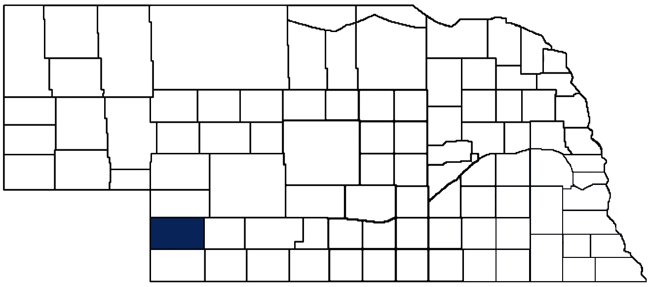
Chase County Seat: Imperial
Total County Population: 3,718
- Chase County Seat (pop. & class): Imperial (1,962 • 2nd Class)
- Villages (pop.): Wauneta (515)
- Unincorporated Pop. (% of county pop.): 1,241 (33%) 2025
Land Development (% of total land in county):
- Agriculture: Dryland (row crop/grain/forage) (18%); Grassland (pasture) (44%); Irrigated (row crop/grain/forage) (33%)
- Residential, Commercial, Industrial, Conservation Reserve & Exempt (combined): 5% 2020
County Offices
Courthouse Address and Hours:
921 Broadway
Imperial, Nebraska 69033
M-F 8:00 am - 4:00 pm
Complete list of county board members
County Board Meetings: 2nd & 4th Tuesday
View the County's Government Maps
NACO District: West Central
West Central District Officers
General
Population: 3,718
Land area (sq. mi.): 894.42
Population per square mile: 4.2
Race & Age
Race 2024
White: 77.8%
African American: 0.4%
American Indian: 0.0%
Asian: 1.7%
Hispanic: 17.9%
Native Hawaiian and Pacific Islander: 0.0%
Two or More Races: 2.2%
Age 2024
0-17: 24.5%
18-64: 51.4%
65+: 24.4%
Households
Total households: 1,476 2024
With one child: 150 2023
With 2+ children: 290 2023
With seniors (65+): 240 2023
Socioeconomics
Median household income: $68,173 2024
% of Population in Poverty: 10.1% 2024
# of Housing Units: 1,870 2024
Owner-occupied rate: 73.8% 2024
Median home price: $172,740 Q4 2025
2024 building permits for detached single family homes: 13
2024 building permits for non-detached housing units: 0 (townhouse, duplex, or apt. unit)
Technology
Access to broadband (100 Mbps via fiber or cable modem): 94.6% 2025
Sources: National Association of Realtors, Nebraska Department of Revenue, Nebraska Legislature, Nebraska Library Commission, U.S. Bureau of Economic Analysis, U.S. Census Bureau (building permits), U.S. Census Bureau (demographics), U.S. Census Bureau (municipalities)
Employment, Schools, and Child Care
Unemployment rate: 2.7% February 2026
County Employment Website: https://nebraskacounties.org/nebraska-counties/county-employment-opportunities.html
High school graduate or higher: 89.2% 2024
School Districts: Chase County Schools, Perkins County Schools, Wauneta-Palisade Public Schools
Bachelor's degree or higher: 24.1% 2024
Community College Service Area: Mid-Plains Community College
Countywide child care capacity: 6 providers; 168 children
Find child care: For a list of child care providers in your zip code, visit Nebraska DHHS or the Nebraska Resource and Referral System.
Chase County Economy
Annual Gross Domestic Product (GDP): $433,592,000 2024
Nonfarm Small Business Receipts: $68,394,198 2023
Nonfarm Wage Income: $74,893,000 2022
Farm and Ranch Commodity Sales Receipts: $585,758,000 2022
Farm and Ranch Operations (Non-Sales) Receipts: $17,761,000 2022
- For components of nonfarm small business receipts, nonfarm wage income, and farm & ranch commodity sales and operations receipts, see "Notes" below.
Grain Elevators by Location (bushels capacity):
- Enders: FVC (653,000)
- Imperial: AK Acres Popcorn Co. (1,474,000), FVC (9,514,000), Trinidad/Benham Warehouse (dry beans) (644,000)
- Lamar: Scoular (6,748,013)
- Wauneta: FVC (3,161,000)
- (1 bushel = 56 lbs. corn/sorghum, 60 lbs. soybeans/wheat; % max. moisture = 18% beans, 15.5% corn, 14% sorghum/soybeans, 13.5% wheat)
Railroad Miles: 104.12 main, 20.29 side
- Places with Railroad Service: Enders, Imperial, Wauneta
Local Grain Market: Click for today's grain prices in Chase County
Cattle Producers: 115
- Pastureland Cash Rent (avg.): $20/acre 2024
Crop Producers: 148
- Dryland Cash Rent (avg.): $51/acre 2024
- Irrigated Land Cash Rent (avg.): $250/acre 2024
Oil & Gas Wells Producing (barrels of oil & thousand cubic ft of gas/yr): 9 wells (12,498 barrels; 0 MCF) 2025
Electricity Providers: City of Imperial, Highline Electric Association, Midwest Electric Member Corp., Southwest PPD, Village of Wauneta
Notes
- Nonfarm small business receipts are reported by partnerships and sole proprietorships. They do not include receipts reported by cooperative associations.
- Nonfarm wage income is reported based upon the wage earner's residential address; therefore, it also includes wages earned by Chase County residents in other counties or states, but it excludes wages earned in Chase County by residents of other counties or states.
- Nonfarm wage income excludes wages earned by anyone claimed as a dependent.
- Farm and ranch commodity sales receipts and operations receipts are reported based upon the farm or ranch owner's principal county of operations; therefore, those figures also include receipts reported by producers operating principally in Chase County for their production in other counties or states, but the figures exclude receipts reported for production in Chase County by producers operating principally in other counties or states.
Irrigation, Drinking Water, and Soils
Rural Irrigation/Livestock Wells: 1,578 2026
Rural Commercial/Industrial Wells: 6 2026
Rural Drinking Water Wells: 198 2026
Drinking Water Utility Connections: 1,137 Residential; 166 Commercial; 3 Industrial 2024
Agricultural Wells per Square Mile: 1.76 2026
Surface Water Diversions (Irrigation): 14 2024
Sources: National Agricultural Statistics Service (USDA), Nebraska Cooperative Council, Nebraska Coordinating Commission for Postsecondary Education, Nebraska Department of Health and Human Services, Nebraska Department of Revenue, Nebraska Department of Transportation, Nebraska Office of the CIO, Nebraska Power Review Board, Nebraska Public Service Commission, U.S. Bureau of Economic Analysis, U.S. Bureau of Labor Statistics, U.S. Census Bureau, U.S. Energy Information Administration, U.S. Department of the Treasury (IRS), Warehouse and Commodity Management Division (USDA)
2025 Levies and Valuation
County levy rate: $0.161 per $100 of taxable valuation
County property taxes levied: $3,005,006
Total local government property taxes levied: $16,688,094
Total countywide taxable valuation: $1,863,892,962
Federal PILT payment to Chase County (FY2024): $19,399 regarding 5,610 federally-owned acres
Click here for all levy rates in Chase County
County Levy and Taxation Laws
Levy limits
Since 1996, counties and other political subdivisions have been subject to the levy limits listed in Neb. Rev. Stat. § 77-3442 and Neb. Rev. Stat. § 77-3443.
Statutes and regulations
Nebraska Revised Statutes (Chapter 77)
Nebraska Administrative Code (Title 350)
Local tax reductions, exemptions, and credits:
Neb. Rev. Stat. § 76-902(5)(a) (Deed "stamp tax" exemption): "The [stamp tax] shall not apply to: ... (5)(a) Deeds between spouses, between ex-spouses for the purpose of conveying any rights to property acquired or held during the marriage, or between parent and child, without actual consideration therefor."
Neb. Rev. Stat. § 77-201(2) (Valuation of agricultural land and horticultural land): "Agricultural land and horticultural land as defined in section 77-1359 shall constitute a separate and distinct class of property for purposes of property taxation, shall be subject to taxation, unless expressly exempt from taxation, and shall be valued at seventy-five percent of its actual value, except that for school district taxes levied to pay the principal and interest on bonds that are approved by a vote of the people on or after January 1, 2022, such land shall be valued at fifty percent of its actual value."
Neb. Rev. Stat. § 77-6703(1) (Tax credit for school district taxes paid): "(1) For taxable years beginning or deemed to begin on or after January 1, 2020, under the Internal Revenue Code of 1986, as amended, there shall be allowed to each eligible taxpayer a refundable credit against the income tax imposed by the Nebraska Revenue Act of 1967 or against the franchise tax imposed by sections 77-3801 to 77-3807. The credit shall be equal to the credit percentage for the taxable year, as set by the department under subsection (2) of this section, multiplied by the amount of school district taxes paid by the eligible taxpayer during such taxable year."
Sources: Nebraska Department of Revenue
State Senator: Teresa J. Ibach (District 44)
Standing Committees:
- Agriculture
- Business and Labor
- Revenue
- Committee On Committees
- Reference
- Rules
- Executive Board
Map and statistics for Legislative District 44
Map of all districts in the Nebraska Unicameral Legislature

Chase County History
Number of Registered Historic Places: 7
Year Authorized: 1873
Year Organized: 1886
Etymology: Champion Chase (Nebraska’s first attorney general)
From its earliest days, Chase County has been shaped by the presence of Native American tribes, the growth of agriculture, and the efforts of visionary individuals who sought to build a better future for themselves and their families.
The earliest known inhabitants of the area were various Native American tribes, including the Pawnee, Sioux, and Cheyenne. These tribes lived in the region for hundreds of years, hunting and fishing in the rolling hills and valleys.
European settlers began to arrive in the area in the 1860s, and despite the harsh climate and limited resources, these early settlers persevered and built a thriving agricultural community. To this day, agriculture is still one of the main industries in Chase County and remains a source of pride and heritage for many of its residents. Despite being situated near the "Great American Desert," Chase County's surprisingly fertile soil produces bountiful harvests of wheat, beans, beets, and corn.
Chase County is known for its natural beauty, including parks, nature reserves, and other outdoor recreational areas. One of the most popular of these is the Wauneta Roller Mill, a historic grist mill that was built in the late 1800s and has been preserved as a museum and park. Another popular attraction is the Enders Reservoir, which offers stunning views of the surrounding landscape and is a popular spot for hiking, bird-watching, and other outdoor activities.
Highlight an important program in your county in this space! Send an email to:
Local Highlights
License Plate Number: 72
Time Zone: Mountain
Number of Veterans: 157 2026
Zoned County: Yes
Number of County-Owned Bridges: 25
Number of County-Owned Dams: 1
Election Data
General Election Turnout: 78% 2024
Total Registered Voters: 2,383 2024
Number of Precincts: 5 2024
Number of Election Day Polling Places: 5 2024
Land Area per Polling Place (avg.): 178.88 sq. miles
Intergovernmental Data
Emergency Mgt. Planning, Exercise and Training (PET) Region: Southwest
Natural Resource Districts: Upper Republican NRD
State Lands (acres): Enders Reservoir SRA (990), Enders Reservoir WMA (4,359), Wanamaker WMA (160)
Sources: Nebraska Department of Transportation, Nebraska Emergency Management Agency, Nebraska Game & Parks Commission, Nebraska Legislature, Nebraska Office of the CIO, Nebraska Secretary of State, U.S. Department of Veterans Affairs, U.S. National Archives and Records Administration (eCFR)