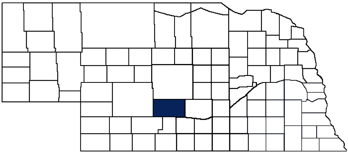
- General Info
- Demographics
- Education and Employment
- Valuation and Taxes Levied
- State Senators
- History
- County Programs
- Other Information
Communities & Development
Dawson County Seat: Lexington
Total County Population: 24,452
- Cities (pop. & class): Cozad (3,924 • 2nd Class), Gothenburg (3,430 • 2nd Class), Lexington (11,176 • 1st Class)
- Villages (pop.): Eddyville (84), Farnam (178), Overton (594), Sumner (244)
- Unincorporated Pop. (% of county pop.): 4,822 (20%) 2025
Land Development (% of total land in county):
- Agriculture: 90%
- By method: Irrigated (row crop/grain/forage) (45%); Pasture (pure grassland) (41%); Dryland (row crop/grain/forage) (4%) • Neb. Dept. of Rev. - total equals agriculture's %
- By commodity: Livestock (grassland) 42%, Corn 31%, Soybeans 12%, Alfalfa 5% • USDA - equals agriculture's % plus some wetlands (4%) and minus public grassland/wetlands and reserve
- Residential, Commercial, Industrial, Conservation Reserve & Exempt (combined): 10% 2022
County Offices
Courthouse Address and Hours:
700 North Washington
Lexington, Nebraska 68850
1st Floor: M-F 8:00 am - 4:30 pm
2nd & 3rd Floor: 8:00 am - 5:00 pm
Complete list of county board members
County Board Meetings: 1st and 15th of the month
View the County's Government Maps
NACO District: Central
General
Population: 24,452
Land area (sq. mi.): 1,013.60
Population per square mile: 24.1
Race & Age
Race 2024
White: 52.8%
African American: 6.4%
American Indian: 0.2%
Asian: 0.8%
Hispanic: 37.4%
Native Hawaiian and Pacific Islander: 0.1%
Two or More Races: 2.0%
Age 2024
0-17: 27.8%
18-64: 56.1%
65+: 16.4%
Households
Total households: 9,145 2024
With one child: 1,620 2023
With 2+ children: 2,140 2023
With seniors (65+): 1,130 2023
Socioeconomics
Personal income per capita: $69,880 2024
% of Population in Poverty: 10.1% 2024
# of Housing Units: 9,958 2024
Owner-occupied rate: 67.9% 2024
Median home price: $173,060 Q4 2025
2024 building permits for detached single family homes: 26
2024 building permits for non-detached housing units: 30 (townhouse, duplex, or apt. unit)
Technology
Access to broadband (100 Mbps via fiber or cable modem): 91.1% 2025
Sources: National Association of Realtors, Nebraska Department of Revenue, Nebraska Legislature, Nebraska Library Commission, U.S. Bureau of Economic Analysis, U.S. Census Bureau (building permits), U.S. Census Bureau (demographics), U.S. Census Bureau (municipalities)
Employment, Schools, and Child Care
Unemployment rate: 16.9% February 2026
County Employment Website: https://nebraskacounties.org/nebraska-counties/county-employment-opportunities.html
High school graduate or higher: 77.9% 2024
School Districts: Gothenburg Public Schools, Callaway Public Schools, Cozad Community Schools, Sumner-Eddyville-Miller Schools, Lexington Public Schools, Overton Public Schools, Elm Creek Public Schools, Eustis-Farnam Public Schools, Elwood Public Schools
Bachelor's degree or higher: 17.6% 2024
Community College Service Area: Central Community College
Countywide child care capacity: 40 providers; 1,241 children 2026
Find child care: For a list of child care providers in your zip code, visit Nebraska DHHS or the Nebraska Resource and Referral System.
Dawson County Economy
Annual Gross Domestic Product (GDP): $2,217,066,000 2024
Nonfarm Small Business Receipts: $229,839,292 2023
Nonfarm Wage Income: $536,737,000 2022
Farm and Ranch Commodity Sales Receipts: $1,006,297,000 2022
Farm and Ranch Operations (Non-Sales) Receipts: $22,513,000 2022
- For components of nonfarm small business receipts, nonfarm wage income, and farm & ranch commodity sales and operations receipts, see "Notes" below.
Ethanol Plants (annual production capacity): Chief Ethanol Fuels (52 million gallons)
Grain Elevators by Location (bushels capacity):
- Cozad: Viterra (3,660,000)
- Farnam: Country Partners (3,075,703)
- Gothenburg: Country Partners (6,175,149), NSG (981,973)
- Lexington: Viterra (4,292,000)
- Overton: CHS (3,298,000)
- (1 bushel = 56 lbs. corn/sorghum, 60 lbs. soybeans/wheat; % max. moisture = 18% beans, 15.5% corn, 14% sorghum/soybeans, 13.5% wheat)
Railroad Miles: 137.99 main, 21.62 side
- Places with Railroad Service: Cozad, Farnam, Gothenburg, Lexington, Willow Island
Local Grain Market: Click for today's grain prices in Dawson County
Cattle Producers: 297
- Pastureland Cash Rent (avg.): $43/acre 2025
Crop Producers: 347
- Dryland Cash Rent (avg.): $133/acre 2025
- Irrigated Land Cash Rent (avg.): $272/acre 2025
Farmers Markets:
- Cozad Farmers Market (June - Sept, Saturdays 8 - 10 a.m.)
- Cozad Farmers Market - GGC ( July - October, Wednesdays 4:30 - 6:30 p.m.)
- Gothenburg Farmers Market ( July - October, Thursdays 5:00 - 7:00 p.m.)
- Lexington Farmers Market (June 8 thru Oct. 12, Tuesdays, 3 - 6 p.m. and Saturdays, 8 - 11 a.m.)
Electricity Providers: City of Gothenburg, City of Lexington, Cozad Board of Public Works, Custer PPD, Dawson PPD, Southern PPD
Notes
- Nonfarm small business receipts are reported by partnerships and sole proprietorships. They do not include receipts reported by cooperative associations.
- Nonfarm wage income is reported based upon the wage earner's residential address; therefore, it also includes wages earned by Dawson County residents in other counties or states, but it excludes wages earned in Dawson County by residents of other counties or states.
- Nonfarm wage income excludes wages earned by anyone claimed as a dependent.
- Farm and ranch commodity sales receipts and operations receipts are reported based upon the farm or ranch owner's principal county of operations; therefore, those figures also include receipts reported by producers operating principally in Dawson County for their production in other counties or states, but the figures exclude receipts reported for production in Dawson County by producers operating principally in other counties or states.
Irrigation, Drinking Water, and Soils
Rural Irrigation/Livestock Wells: 3,887 2026
Rural Commercial/Industrial Wells: 46 2026
Rural Drinking Water Wells: 760 2026
Drinking Water Utility Connections: 6,445 Residential; 740 Commercial; 13 Industrial 2024
Irrigation/Livestock Wells per Square Mile: 3.83 2026
Surface Water Diversions (Irrigation): 86 2024
Click for real time:
Streamflow data on the Platte River (south channel) near Overton
Streamflow data on the Platte River (mid-channel) near the Village of Elm Creek
Streamflow data on Buffalo Creek near Overton
Streamflow data on Spring Creek near Overton
Sources: National Agricultural Statistics Service (USDA), Nebraska Cooperative Council, Nebraska Coordinating Commission for Postsecondary Education, Nebraska Department of Health and Human Services, Nebraska Department of Revenue, Nebraska Department of Transportation, Nebraska Office of the CIO, Nebraska Power Review Board, Nebraska Public Service Commission, U.S. Bureau of Economic Analysis, U.S. Bureau of Labor Statistics, U.S. Census Bureau, U.S. Energy Information Administration, U.S. Department of the Treasury (IRS), Warehouse and Commodity Management Division (USDA)
2025 Levies and Valuation
County levy rate: $0.285 per $100 of taxable valuation
County property taxes levied: $13,567,609
Total local government property taxes levied: $65,847,148
Total countywide taxable valuation: $4,755,203,292
Click here for all levy rates in Dawson County
County Levy and Taxation Laws
Levy limits
Since 1996, counties and other political subdivisions have been subject to the levy limits listed in Neb. Rev. Stat. § 77-3442 and Neb. Rev. Stat. § 77-3443.
Statutes and regulations
Nebraska Revised Statutes (Chapter 77)
Nebraska Administrative Code (Title 350)
Local tax reductions, exemptions, and credits:
Neb. Rev. Stat. § 76-902(5)(a) (Deed "stamp tax" exemption): "The [stamp tax] shall not apply to: ... (5)(a) Deeds between spouses, between ex-spouses for the purpose of conveying any rights to property acquired or held during the marriage, or between parent and child, without actual consideration therefor."
Neb. Rev. Stat. § 77-201(2) (Valuation of agricultural land and horticultural land): "Agricultural land and horticultural land as defined in section 77-1359 shall constitute a separate and distinct class of property for purposes of property taxation, shall be subject to taxation, unless expressly exempt from taxation, and shall be valued at seventy-five percent of its actual value, except that for school district taxes levied to pay the principal and interest on bonds that are approved by a vote of the people on or after January 1, 2022, such land shall be valued at fifty percent of its actual value."
Neb. Rev. Stat. § 77-6703(1) (Tax credit for school district taxes paid): "(1) For taxable years beginning or deemed to begin on or after January 1, 2020, under the Internal Revenue Code of 1986, as amended, there shall be allowed to each eligible taxpayer a refundable credit against the income tax imposed by the Nebraska Revenue Act of 1967 or against the franchise tax imposed by sections 77-3801 to 77-3807. The credit shall be equal to the credit percentage for the taxable year, as set by the department under subsection (2) of this section, multiplied by the amount of school district taxes paid by the eligible taxpayer during such taxable year."
Sources: Nebraska Department of Revenue
State Senator: Teresa J. Ibach (District 44)
Committees
- Agriculture
- Business and Labor
- Revenue
- Committee On Committees
- Reference
- Rules
- Executive Board
Map and statistics for Legislative District 44
Map of all districts in the Nebraska Unicameral Legislature

Dawson County History
Number of Registered Historic Places: 10
Year Authorized: 1860
Year Organized: 1871
Etymology: Jacob Dawson (City of Lincoln's first postmaster)
Dawson County is named after Jacob Dawson, the first postmaster of the village of Lancaster (a community located in eastern Nebraska which would later become Lincoln, the state capitol). Established by the Territorial Legislature in 1860, Dawson County was originally home to a few settlements, ranchers, and a trading post. The telegraph, stage coach, and railroad all passed through the county, cementing its place as a communication and transportation throughfare in central Nebraska.
Plum Creek, which runs through southwest Dawson County, briefly captured the nation’s attention when gold was reportedly discovered along its banks in 1873. Unfortunately, Plum Creek was not the next Sutter’s Mill, and there would be no “Seventy-three-ers” arriving en masse to Dawson County. Geological tests quickly determined the metal was not gold, breaking the hearts of recently arrived settlers and prospectors.
Undeterred by the lack of immediate fortune, Plum Creek became an important urban hub and witnessed the construction of schools and churches during its early years. In 1886, the community of Plum Creek became incorporated, and 1889, residents re-named it Lexington in honor of a Civil War battle. Today, Lexington is one of three principal cities in Dawson County, including Gothenburg and Cozad.
Highlight an important program in your county in this space! Send an email to:
Local Highlights
License Plate Number: 18
Time Zone: Central
Number of Veterans: 886 2026
Zoned County: Yes
Number of County-Owned Bridges: 209
Number of County-Owned Dams: 15
Election Data
General Election Turnout: 67% 2024
Total Registered Voters: 12,842 2024
Number of Precincts: 20 2024
Number of Election Day Polling Places: 17 2024
Land Area per Polling Place (avg.): 59.62 sq. miles
Intergovernmental Data
Emergency Mgt. Planning, Exercise and Training (PET) Region: South Central
Natural Resource District: Central Platte NRD
State Lands (acres): Bittern's Call WMA (78.93), Blue Heron WMA (60.80), Cozad Rest Area EB (7.9), Cozad Rest Area WB (5.6), Cozad WMA (198.41), Darr WMA (30.87), Darr Strip WMA (980.82), Dogwood WMA (407.32), East Gothenburg WMA (37.62), East Willow WMA (36.80), Gallagher Canyon SRA (23.86), Plum Creek WMA (2), West Cozad WMA (47.63), Willow Island WMA (75.38)
Sources: Nebraska Department of Transportation, Nebraska Emergency Management Agency, Nebraska Game & Parks Commission, Nebraska Legislature, Nebraska Office of the CIO, Nebraska Secretary of State, U.S. Department of Veterans Affairs, U.S. Election Assistance Commission, U.S. National Archives and Records Administration (eCFR)