- General Info
- Demographics
- Education and Employment
- Valuation and Taxes Levied
- State Senators
- History
- County Programs
- Other Information
Communities & Development
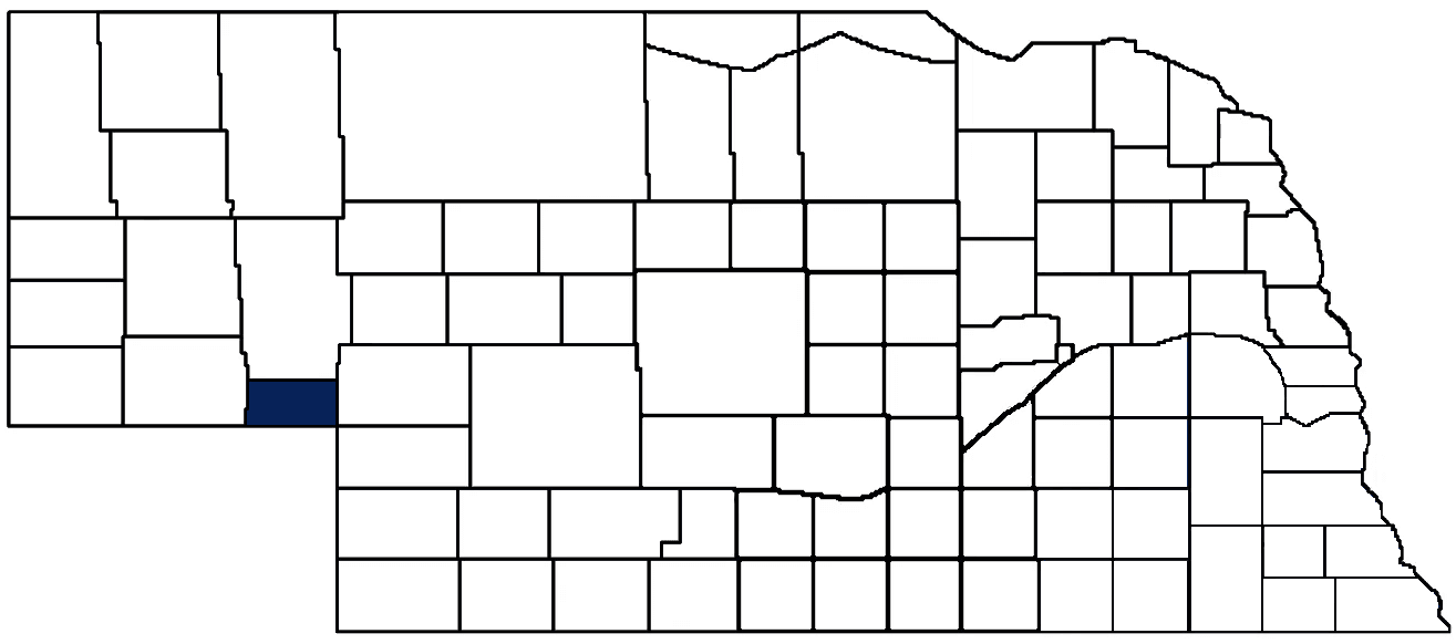
Deuel County Seat: Chappell
Total County Population: 1,862
- Cities (pop. & class): Chappell (839 • 2nd Class)
- Villages (pop.): Big Springs (397)
- Unincorporated Pop. (% of county pop.): 626 (34%) 2025
Land Development (% of total land in county):
- Agriculture: 93%
- By method: Dryland (row crop/grain/forage) (61%); Pasture (pure grassland) (24%); Irrigated (row crop/grain/forage) (8%) • Neb. Dept. of Rev. - total equals agriculture's %
- By commodity: Livestock (grassland) 27%, Corn 23%, Wheat 19%, Sorghum 3%, Millet 1%, Peas 1%, Triticale 1%, Alfalfa 1%, Chick Peas 1% • USDA - equals agriculture's % plus some fallow land (19%) and some wetlands (1%) and minus public grassland/wetlands and reserve
- Residential, Commercial, Industrial, Conservation Reserve & Exempt (combined): 7% 2022
County Offices
Courthouse Address and Hours:
718 3rd Street
Chappell, Nebraska 69129
M-F 8:00 am - 4:00 pm
Complete list of county board members
County Board Meetings: 1st & 3rd Tuesday
View the County's Government Maps
NACO District: Panhandle
General
Population: 1,862
Land area (sq. mi.): 439.85
Population per square mile: 4.2
Race & Age
Race 2020
White: 85.7%
African American: 0.0%
American Indian: 0.9%
Asian: 0.4%
Hispanic: 9.9%
Native Hawaiian and Pacific Islander: 0.0%
Two or More Races: 2.9%
Age 2020
0-17: 18.3%
18-64: 54.0%
65+: 27.9%
Households
Total households: 837 2024
With one child: 70 2023
With 2+ children: 100 2023
With seniors (65+): 150 2023
Socioeconomics
Median household income: $70,096 2024
% of Population in Poverty: 11.9% 2024
# of Housing Units: 1,013 2024
Owner-occupied rate: 75.8% 2024
Median home price: $104,330 Q4 2025
2024 building permits for detached single family homes: 9
2024 building permits for non-detached housing units: 0 (townhouse, duplex, or apt. unit)
Technology
Access to broadband (100 Mbps via fiber or cable modem): 83.8% 2025
Sources: National Association of Realtors, Nebraska Department of Revenue, Nebraska Legislature, Nebraska Library Commission, U.S. Bureau of Economic Analysis, U.S. Census Bureau (building permits), U.S. Census Bureau (demographics), U.S. Census Bureau (municipalities)
Employment, Schools, and Child Care
Unemployment rate: 3.5% February 2026
County Employment Website: https://co.deuel.ne.us/webpages/links/public_notices.html
High school graduate or higher: 91.1% 2024
School Districts: Creek Valley Schools, South Platte Public Schools
Bachelor's degree or higher: 25.2% 2024
Community College Service Area: Western Community College
Countywide child care capacity: 3 providers; 64 children
Find child care: For a list of child care providers in your zip code, visit Nebraska DHHS or the Nebraska Resource and Referral System.
Deuel County Economy
Annual Gross Domestic Product (GDP): $87,631,000 2024
Nonfarm Small Business Receipts: $16,384,545 2023
Nonfarm Wage Income: $29,268,000 2022
Farm and Ranch Commodity Sales Receipts: $73,563,000 2022
Farm and Ranch Operations (Non-Sales) Receipts: $10,396,000 2022
- For components of nonfarm small business receipts, nonfarm wage income, and farm & ranch commodity sales and operations receipts, see "Notes" below.
Grain Elevators by Location (bushels capacity):
- Big Springs: Ag Valley (4,417,635)
- Chappell: FVC (1,727,000), FVC (1,727,000)
- 1 bushel = 56 lbs. corn/sorghum, 60 lbs. soybeans/wheat; % max. moisture = 18% beans, 15.5% corn, 14% sorghum/soybeans, 13.5% wheat
Railroad Miles: 53.08 main, 1.49 side
- Places with Railroad Service: Big Springs, Chappell
Local Grain Market: Click for today's grain prices in Deuel County
Cattle Producers: 49
- Pastureland Cash Rent (avg.): $16/acre 2025
Crop Producers: 38
- Dryland Cash Rent (avg.): $41/acre/yr 2025
- Irrigated Land Cash Rent (avg.): $200/acre/yr 2025
Electricity Providers: City of Chappell, Highline Electric Association, Nebraska PPD, Wheat Belt PPD
Notes
- Nonfarm small business receipts are reported by partnerships and sole proprietorships. They do not include receipts reported by cooperative associations.
- Nonfarm wage income is reported based upon the wage earner's residential address; therefore, it also includes wages earned by Deuel County residents in other counties or states, but it excludes wages earned in Deuel County by residents of other counties or states.
- Nonfarm wage income excludes wages earned by anyone claimed as a dependent.
- Farm and ranch commodity sales receipts and operations receipts are reported based upon the farm or ranch owner's principal county of operations; therefore, those figures also include receipts reported by producers operating principally in Deuel County for their production in other counties or states, but the figures exclude receipts reported for production in Deuel County by producers operating principally in other counties or states.
Irrigation, Drinking Water, and Soils
Rural Irrigation/Livestock Wells: 353 2026
Rural Commercial/Industrial Wells: 11 2026
Rural Drinking Water Wells: 80 2026
Drinking Water Utility Connections: 860 Residential; 94 Commercial; 0 Industrial 2024
Irrigation/Livestock Wells per Square Mile: 0.80 2026
Surface Water Diversions (Irrigation): 17 2024
Sources: National Agricultural Statistics Service (USDA), Nebraska Cooperative Council, Nebraska Coordinating Commission for Postsecondary Education, Nebraska Department of Health and Human Services, Nebraska Department of Revenue, Nebraska Department of Transportation, Nebraska Office of the CIO, Nebraska Power Review Board, Nebraska Public Service Commission, U.S. Bureau of Economic Analysis, U.S. Bureau of Labor Statistics, U.S. Census Bureau, U.S. Energy Information Administration, U.S. Department of the Treasury (IRS), Warehouse and Commodity Management Division (USDA)
2025 Levies and Valuation
County levy rate: $0.427 per $100 of taxable valuation
County property taxes levied: $2,197,243
Total local government property taxes levied: $6,620,789
Total countywide taxable valuation: $514,095,519
Click here for all levy rates in Deuel County
County Levy and Taxation Laws
Levy limits
Since 1996, counties and other political subdivisions have been subject to the levy limits listed in Neb. Rev. Stat. § 77-3442 and Neb. Rev. Stat. § 77-3443.
Statutes and regulations
Nebraska Revised Statutes (Chapter 77)
Nebraska Administrative Code (Title 350)
Local tax reductions, exemptions, and credits:
Neb. Rev. Stat. § 76-902(5)(a) (Deed "stamp tax" exemption): "The [stamp tax] shall not apply to: ... (5)(a) Deeds between spouses, between ex-spouses for the purpose of conveying any rights to property acquired or held during the marriage, or between parent and child, without actual consideration therefor."
Neb. Rev. Stat. § 77-201(2) (Valuation of agricultural land and horticultural land): "Agricultural land and horticultural land as defined in section 77-1359 shall constitute a separate and distinct class of property for purposes of property taxation, shall be subject to taxation, unless expressly exempt from taxation, and shall be valued at seventy-five percent of its actual value, except that for school district taxes levied to pay the principal and interest on bonds that are approved by a vote of the people on or after January 1, 2022, such land shall be valued at fifty percent of its actual value."
Neb. Rev. Stat. § 77-6703(1) (Tax credit for school district taxes paid): "(1) For taxable years beginning or deemed to begin on or after January 1, 2020, under the Internal Revenue Code of 1986, as amended, there shall be allowed to each eligible taxpayer a refundable credit against the income tax imposed by the Nebraska Revenue Act of 1967 or against the franchise tax imposed by sections 77-3801 to 77-3807. The credit shall be equal to the credit percentage for the taxable year, as set by the department under subsection (2) of this section, multiplied by the amount of school district taxes paid by the eligible taxpayer during such taxable year."
Sources: Nebraska Department of Revenue
State Senator: Paul Strommen (District 47)
Committees
- Appropriations
- Legislature's Planning Committee
- Homeland Security Policy Group
- Statewide Tourism And Recreational Water Access and Resource Sustainability (LB406)
Map and statistics for Legislative District 47
Map of all districts in the Nebraska Unicameral Legislature

Deuel County History
Number of Registered Historic Places: 5
Year Authorized: 1889
Year Organized: 1889
Etymology: Deuel family (early Nebraska settlers)
Prior to the arrival of European settlers, Deuel County was the hunting ground of the Oglala and Brule tribes. As more and more pioneers moved into western Nebraska, frequent battles erupted between the settlers claiming land tracts and Native Americans protecting their ancestral homes.
Originally, Deuel County composed the eastern part of Cheyenne County. At the time of its founding in 1889, Deuel County also included Garden County until 1909. At that time, Garden County split away, leaving the southern settlements to Deuel County.
The county seat, Chappell, was named after Charles Henry Chappell, a key railroad official charged with numerous construction projects in western Nebraska. According to local accounts, shipments would arrive near the end of the line bearing very simple directions: “Send to Chappell.” The moniker stuck, and the settlement forever bore the railroad man’s name. The county itself was also named after a railroad official: Henry Deuel.
However, designation of the county seat was another matter. Following the organization of Deuel County, three towns vied to become the county seat during a special election: Chappell, Big Springs, and Froid. Although Chappell had 275 eligible voters and Big Springs had 200 eligible voters, the special election witnessed remarkable and dubious tallies. Chappell reported over three thousand votes for their town while Big Springs claimed over five thousand votes. Deuel County’s early integrity apparently persisted in Froid though, which reported just under three hundred votes. Due to the obvious deceit in election reporting, a judge ordered a new election. Ultimately, it would take two more elections before Chappell claimed the prize as county seat.
Today, Deuel County is a farming community responsible for growing oats, millet, milo, alfalfa, but most of all, wheat. Deuel County’s prodigious wheat production supports its motto: Deuel County, Where Wheat is King.
Highlight an important program in your county in this space! Send an email to:
Local Highlights
License Plate Number: 78
Time Zone: Mountain
Number of Veterans: 158 2026
Zoned County: Yes
Number of County-Owned Bridges: 15
Number of County-Owned Dams: 1
Election Data
General Election Turnout: 73% 2024
Total Registered Voters: 1,398 2024
Number of Precincts: 3 2024
Number of Election Day Polling Places: 2 2024
Land Area per Polling Place (avg.): 219.93 sq. miles
Intergovernmental Data
Emergency Mgt. Planning, Exercise and Training (PET) Region: Panhandle
Natural Resource Districts: South Platte NRD
Sources: Nebraska Department of Transportation, Nebraska Emergency Management Agency, Nebraska Game & Parks Commission, Nebraska Legislature, Nebraska Office of the CIO, Nebraska Secretary of State, U.S. Department of Veterans Affairs, U.S. Election Assistance Commission, U.S. National Archives and Records Administration (eCFR)