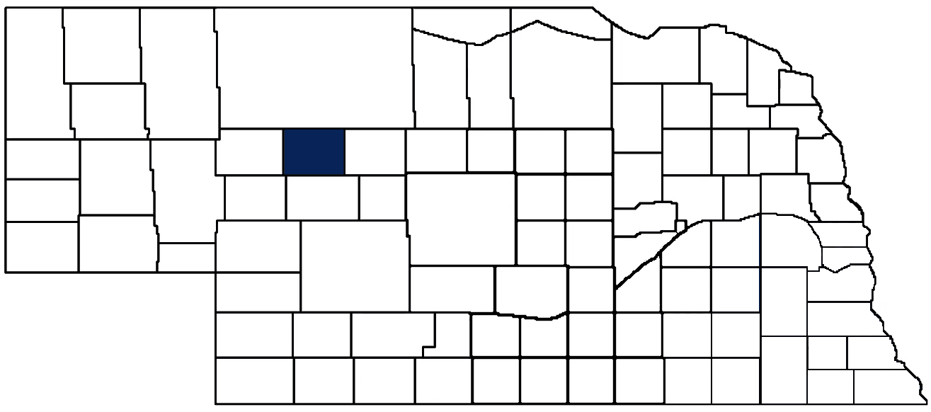
- General Info
- Demographics
- Education and Employment
- Valuation and Taxes Levied
- State Senators
- History
- County Programs
- Other Information
Communities and Development
Hooker County Seat: Mullen
Total County Population: 711
- Villages (pop.): Mullen (500)
- Unincorporated Pop. (% of county pop.): 211 (30%) 2020
Land Development (% of total land in county):
- Agriculture: 98%
- By method: Pasture (pure grassland) (97%); Irrigated (row crop/grain/forage) (1%); Dryland (row crop/grain/forage) (0%) • Neb. Dept. of Rev. - total equals agriculture's %
- By commodity: Livestock (grassland) 97% • USDA - equals agriculture's % plus some wetlands (1%) and minus public grassland/wetlands and reserve
- Residential, Commercial, Industrial, Conservation Reserve & Exempt (combined): 2% 2022
County Offices
Courthouse Address and Hours:
303 Northwest 1st Street
Mullen, Nebraska 69152
M-F 8:30 am - 12:00 pm; 1:00 pm - 4:30pm
Complete list of county board members
County Board Meetings: 2nd Thursday
View the County's Government Maps
NACO District: West Central
West Central District Officers
General
Population: 711
Land area (sq. mi.): 721.16
Population per square mile: 1.0
Race and Age
Race 2020
White: 93.2%
African American: 0.6%
American Indian: 0.1%
Asian: 0.1%
Hispanic: 1.5%
Native Hawaiian and Pacific Islander: 0.0%
Two or More Races: 4.4%
Age 2020
0-17: 22.5%
18-64: 48.6%
65+: 28.9%
Households
Total households: 323 2020
With one child: 20 2022
With 2+ children: 60 2022
With seniors (65+): 120 2022
Socioeconomics
Median household income: $45,854 2023
% of Population in Poverty: 9.1% 2023
# of Housing Units: 408 2020
Owner-occupied rate: 75.5% 2020
Median home price: $92,380 Q4 2024
2024 building permits for detached single family homes: 6
2024 building permits for non-detached housing units: 0 (townhouse, duplex, or apt. unit)
Technology
Access to broadband (100 Mbps via fiber or cable modem): 22.7% 2021
Sources: National Association of Realtors, Nebraska Department of Revenue, Nebraska Legislature, Nebraska Library Commission, U.S. Bureau of Economic Analysis, U.S. Census Bureau (building permits), U.S. Census Bureau (demographics), U.S. Census Bureau (municipalities)
Employment, Schools, and Child Care
Unemployment rate: 7.8% Sept. 2024
County Employment Website: https://co.hooker.ne.us/webpages/links/public_notices.html
High school graduate or higher: 93.8% 2020
School Districts: Mullen Public Schools
Bachelor's degree or higher: 24.8% 2020
Community College Service Area: Mid-Plains Community College
Countywide child care capacity: 3 providers; 31 children 2024
Find child care: For a list of child care providers in your zip code, visit Nebraska DHHS or the Nebraska Resource and Referral System.
Hooker County Economy
Annual Gross Domestic Product (GDP): $39,303,000 2023
Nonfarm Small Business Receipts: $12,122,450 2022
Nonfarm Wage Income: $10,531,000 2022
Farm and Ranch Commodity Sales Receipts: $20,552,000 2022
Farm and Ranch Operations (Non-Sales) Receipts: $853,000 2022
- For components of nonfarm small business receipts, nonfarm wage income, and farm & ranch commodity sales and operations receipts, see "Notes" below.
Railroad Miles: 19.58 main, 1.41 side
- Places with Railroad Service: Mullen
Local Grain Market: Click for today's grain prices in Hooker County
Cattle Producers: 72
- Pastureland Cash Rent (avg.): $16/acre 2024
Crop Producers: 5
Electricity Providers: Custer PPD, PREMA, Village of Mullen
Wind Turbines Operating (MW): 1 turbine (MW unknown)
Irrigation and Drinking Water
Rural Irrigation Wells: 37 2024
Rural Livestock Wells: 548 2024
Rural Commercial/Industrial Wells: 10 2024
Rural Drinking Water Wells: 41 2024
Drinking Water Utility Connections: 271 Residential; 8 Commercial; 0 Industrial 2024
Surface Water Diversions (Irrigation): 3 2024
Click for real time:
Groundwater level data north of the Middle Loup River near Seneca (9 mi. east of Mullen)
Groundwater level data near NE Hwy 2 & N. Hecla Rd. (15.5 mi. west of Mullen) • Eastern well in row of 3
Groundwater level data near NE Hwy 2 & N. Hecla Rd. (16 mi. west of Mullen) • Middle well in row of 3
Groundwater level data near NE Hwy 2 & N. Hecla Rd. (16.5 mi. west of Mullen) • Western well in row of 3
Notes
Hooker County Economy
- Nonfarm small business receipts are reported by partnerships and sole proprietorships. They do not include receipts reported by cooperative associations.
- Nonfarm wage income is reported based upon the wage earner's residential address; therefore, it also includes wages earned by Hooker County residents in other counties or states, but it excludes wages earned in Hooker County by residents of other counties or states.
- Nonfarm wage income excludes wages earned by anyone claimed as a dependent.
- Farm and ranch commodity sales receipts and operations receipts are reported based upon the farm or ranch owner's principal county of operations; therefore, those figures also include receipts reported by producers operating principally in Hooker County for their production in other counties or states, but the figures exclude receipts reported for production in Hooker County by producers operating principally in other counties or states.
Irrigation and Drinking Water
- A rural irrigation well is any well intended for irrigating crops that, either on its own or as part of a set of commingled wells, is capable of pumping more than fifty (50) gallons of water per minute (gpm). Note that some rural commercial/industrial wells are also capable of pumping more than 50 gpm. In Nebraska, the owner of any well--or set of commingled wells--that is capable of pumping more than 50 gpm must register the well(s) with the state government and have a permit for the well(s) from the local natural resource district (NRD).
- Rural livestock wells and rural drinking water (also known as "domestic") wells are not allowed to pump more than 50 gpm unless permitted by the local NRD. Each rural drinking water well usually serves one single family home, though in rare cases a rural drinking water well serves multiple homes.
- Data on rural livestock wells and rural drinking water wells may be incomplete for wells drilled prior to September 9, 1993. State law does not require wells drilled prior to that date to be registered with the state government if the wells are not capable of pumping more than 50 gpm. Neb. Rev. Stat. § 46-735; see Laws 1993, LB 131, § 25.
Sources: National Agricultural Statistics Service (USDA), Nebraska Cooperative Council, Nebraska Coordinating Commission for Postsecondary Education, Nebraska Department of Health and Human Services, Nebraska Department of Revenue, Nebraska Department of Transportation, Nebraska Office of the CIO, Nebraska Power Review Board, Nebraska Public Service Commission, U.S. Bureau of Economic Analysis, U.S. Bureau of Labor Statistics, U.S. Census Bureau, U.S. Energy Information Administration, U.S. Department of the Treasury (IRS), Warehouse and Commodity Management Division (USDA)
2024 Levies and Valuation
County levy rate: $0.2262 per $100 of taxable valuation
County property taxes levied: $1,000,160
Total local government property taxes levied: $3,275,476
Total countywide taxable valuation: $442,100,594
Federal PILT payment to Garden County (FY2022): $687 regarding 205 federally-owned acres
Click here for all levy rates in Hooker County
County Levy and Taxation Laws
Levy limits
Since 1996, counties and other political subdivisions have been subject to the levy limits listed in Neb. Rev. Stat. § 77-3442 and Neb. Rev. Stat. § 77-3443.
Statutes and regulations
Nebraska Revised Statutes (Chapter 77)
Nebraska Administrative Code (Title 350)
Neb. Rev. Stat. § 77-201(2) (Valuation of agricultural land and horticultural land): "Agricultural land and horticultural land as defined in section 77-1359 shall constitute a separate and distinct class of property for purposes of property taxation, shall be subject to taxation, unless expressly exempt from taxation, and shall be valued at seventy-five percent of its actual value, except that for school district taxes levied to pay the principal and interest on bonds that are approved by a vote of the people on or after January 1, 2022, such land shall be valued at fifty percent of its actual value."
Neb. Rev. Stat. § 77-6703(1) (Tax credit for school district taxes paid): "(1) For taxable years beginning or deemed to begin on or after January 1, 2020, under the Internal Revenue Code of 1986, as amended, there shall be allowed to each eligible taxpayer a refundable credit against the income tax imposed by the Nebraska Revenue Act of 1967 or against the franchise tax imposed by sections 77-3801 to 77-3807. The credit shall be equal to the credit percentage for the taxable year, as set by the department under subsection (2) of this section, multiplied by the amount of school district taxes paid by the eligible taxpayer during such taxable year."
Sources: Nebraska Department of Revenue
State Senator: Mike Jacobson (District 42)
Committees
- Banking, Commerce and Insurance
- Revenue
- Committee On Committees
- Reference
- Executive Board
- Legislative Performance Audit
- Statewide Tourism And Recreational Water Access and Resource Sustainability (LB406)
Map and statistics for Legislative District 42
Map of all districts in the Nebraska Unicameral Legislature

Hooker County History
Number of Registered Historic Places: 3
Year Authorized: 1889
Year Organized: 1889
Etymology: Thomas Hooker (U.S. army general)
In 1922, Nebraska created a county-code license plate system that assigned a one- or two-digit number to each county. The codes were based on the number of registered vehicles in the county at the time, with lower numbers reflecting a greater number of registered vehicles (e.g., 1 equals the highest number of registered vehicles in a county in 1922). Hooker County bears the distinction of bearing the “93,” or the county with the fewest registered vehicles in 1922. But despite its sparse population, Hooker County boasts a proud and rich history equal that of any other Nebraska county.
For example, most Nebraskans know that the famous Texas-Nebraska cattle drives cut through southwest Nebraska before veering up to Ogalala, among other destinations. However, many might be surprised to learn that several cattle drives crossed further north through Hooker County on their way to South Dakota. The extra mileage was not for the faint of heart, even among the most formidable cowboys. The Sandhills, with its sifting soil, sparse vegetation, and few permanent watering holes, posed grim challenges at the very end of an already exhausting journey. Moreover, the journey back home was also fraught with danger, most notably, Sioux warriors defiantly clinging to their hunting lands dispossessed by the U.S. government.
The meager grazing grounds and lack of fertile soil inhibited the rapid development and population spikes experienced by nearby counties. In fact, it was only in 1884 that Hooker County saw its first permanent settlers. Drawn by the Dismal River, homesteaders established the first settlement along both sides of the northern and southern forks of the river.
It was not to last, however, as the railroad line burst westward along Hooker County’s north border in the late 1870’s. Mullen first emerged as a railroad depot, and a decade later, Amos Gandy and George Trefren purchased property to establish the town, awaiting the legislative decree formally organizing the county. The declaration was passed down the next year and Hooker County was established, named after Civil War General Joseph Hooker.
Today, despite its humble stature, Hooker County generates over thirty-three million dollars in goods produced and services provided, much of it from agriculture (primarily ranching).
Highlight an important program in your county in this space! Send an email to:
Local Highlights
License Plate Number: 93
Time Zone: Mountain
Number of Veterans: 23 2023
Zoned County: Yes
County Library: Hooker County Library
Number of County-Owned Bridges: 1
Election Data
General Election Turnout: 81% 2024
Total Registered Voters: 532 2024
Number of Precincts: 1 2022
Number of Election Day Polling Places: 1 2022
Land Area per Polling Place (avg.): 721.50 sq. miles
Intergovernmental Data
Emergency Mgt. Planning, Exercise and Training (PET) Region: North Central/Sandhills
Natural Resource District: Upper Loup NRD
Sources: Nebraska Department of Transportation, Nebraska Emergency Management Agency, Nebraska Game & Parks Commission, Nebraska Legislature, Nebraska Office of the CIO, Nebraska Secretary of State, U.S. Department of Veterans Affairs, U.S. Election Assistance Commission, U.S. National Archives and Records Administration (eCFR)