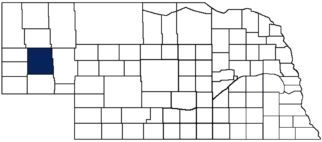
- General Info
- Demographics
- Education and Employment
- Valuation and Taxes Levied
- State Senators
- History
- County Programs
- Other Information
Communities and Development
Morrill County Seat: Bridgeport
Total County Population: 4,555
- Cities (pop. & class): Bayard (1,140 • 2nd Class), Bridgeport (1,454 • 2nd Class)
- Villages (pop.): Broadwater (95)
- Unincorporated Pop. (% of county pop.): 1,866 (41%) 2020
Land Development (% of total land in county):
- Agriculture: 93%
- By method: Pasture (pure grassland) (72%); Irrigated (row crop/grain/forage) (14%); Dryland (row crop/grain/forage) (7%) • Neb. Dept. of Rev. - total equals agriculture's %
- By commodity: Livestock (grassland) 75%, Corn 9%, Wheat 3%, Alfalfa 3%, Dry Beans 1% • USDA - equals agriculture's % plus some wetlands (4%) and fallow land (2%) and minus public grassland/wetlands and reserve
- Residential, Commercial, Industrial, Conservation Reserve & Exempt (combined): 7% 2022
County Offices
Courthouse Address and Hours:
606 L Street
Bridgeport, Nebraska 69336
M-Th 7:30 am - 5:00 pm & 7:30 am - 11:00 am Friday
Complete list of county board members
County Board Meetings: 2nd & 4th Tuesday
View the County's Government Maps
NACO District: Panhandle
General
Population: 4,555
Land area (sq. mi.): 1,424.02
Population per square mile: 3.2
Race and Age
Race 2020
White: 81.7%
African American: 0.4%
American Indian: 0.8%
Asian: 0.4%
Hispanic: 14.2%
Native Hawaiian and Pacific Islander: 0.0%
Two or More Races: 2.1%
Age 2020
0-17: 22.9%
18-64: 55.0%
65+: 22.1%
Households
Total households: 1,905 2020
With one child: 220 2022
With 2+ children: 270 2022
With seniors (65+): 470 2022
Socioeconomics
Median household income: $59,773 2023
% of Population in Poverty: 14.0% 2023
# of Housing Units: 2,272 2020
Owner-occupied rate: 72.1% 2020
Median home price: $121,150 Q4 2024
2024 building permits for detached single family homes: 0
2024 building permits for non-detached housing units: 0 (townhouse, duplex, or apt. unit)
Technology
Access to broadband (100 Mbps via fiber or cable modem): 54.3% 2021
Sources: National Association of Realtors, Nebraska Department of Revenue, Nebraska Legislature, Nebraska Library Commission, U.S. Bureau of Economic Analysis, U.S. Census Bureau (building permits), U.S. Census Bureau (demographics), U.S. Census Bureau (municipalities)
Employment, Schools, and Child Care
Unemployment rate: 2.3% March 2025
County Employment Website: https://nebraskacounties.org/nebraska-counties/county-employment-opportunities.html
High school graduate or higher: 89.4% 2020
School Districts: Alliance Public Schools, Banner County Public Schools, Bayard Public Schools, Bridgeport Public Schools, Garden County Schools, Leyton Public Schools, Scottsbluff Public Schools
Bachelor's degree or higher: 22.1% 2020
Community College Service Area: Western Community College
Countywide child care capacity: 6 providers; 181 children 2024
Find child care: For a list of child care providers in your zip code, visit Nebraska DHHS or the Nebraska Resource and Referral System.
Morrill County Economy
Annual Gross Domestic Product (GDP): $448,436,000 2023
Nonfarm Small Business Receipts: $48,019,072 2022
Nonfarm Wage Income: $80,807,000 2022
Farm and Ranch Commodity Sales Receipts: $398,244,000 2022
Farm and Ranch Operations (Non-Sales) Receipts: $12,378,000 2022
- For components of nonfarm small business receipts, nonfarm wage income, and farm & ranch commodity sales and operations receipts, see "Notes" below.
Ethanol Plants (annual production capacity): Bridgeport Ethanol (60 million gallons)
Grain Elevators by Location (bushels capacity):
- Bayard: Kelley Bean (172,000), Trinidad/Benham (426,000), Western Sugar (capacity unknown)
- Bridgeport: Crossroads (2,231,000), New Alliance (884,000), Trinidad/Benham (860,000)
- (1 bushel = 56 lbs. corn/sorghum, 60 lbs. soybeans/wheat; % max. moisture = 18% beans, 15.5% corn, 14% sorghum/soybeans, 13.5% wheat)
Railroad Miles: 174.72 main, 27.76 side
- Places with Railroad Service: Angora, Bayard, Bonner, Broadwater, Bridgeport
Local Grain Market: Click for today's grain prices in Morrill County
Cattle Producers: 204
- Pastureland Cash Rent (avg.): $15/acre 2024
Crop Producers: 241
Farmers Market: Bridgeport Farmers Market (June - October, Wednesdays 4 - 7 p.m.)
Oil Wells Producing (barrels of oil/yr): 28 wells (28,339 barrels)
Electricity Providers: Chimney Rock PPD, City of Alliance, City of Bayard, City of Bridgeport Utilities, High West Energy, Nebraska PPD, PREMA, Wheat Belt PPD
Irrigation and Drinking Water
Rural Irrigation Wells: 951 2024
Rural Livestock Wells: 442 2024
Rural Commercial/Industrial Wells: 26 2024
Rural Drinking Water Wells: 220 2024
Drinking Water Utility Connections: 1,103 Residential; 205 Commercial; 17 Industrial; 10 Agricultural 2024
Surface Water Diversions (Irrigation): 93 2024
Click for real time:
Groundwater level data at US Hwy 385 rest area (13 mi. north of Bridgeport)
Notes
Morrill County Economy
- Nonfarm small business receipts are reported by partnerships and sole proprietorships. They do not include receipts reported by cooperative associations.
- Nonfarm wage income is reported based upon the wage earner's residential address; therefore, it also includes wages earned by Morrill County residents in other counties or states, but it excludes wages earned in Morrill County by residents of other counties or states.
- Nonfarm wage income excludes wages earned by anyone claimed as a dependent.
- Farm and ranch commodity sales receipts and operations receipts are reported based upon the farm or ranch owner's principal county of operations; therefore, those figures also include receipts reported by producers operating principally in Morrill County for their production in other counties or states, but the figures exclude receipts reported for production in Morrill County by producers operating principally in other counties or states.
Irrigation and Drinking Water
- A rural irrigation well is any well intended for irrigating crops that, either on its own or as part of a set of commingled wells, is capable of pumping more than fifty (50) gallons of water per minute (gpm). Note that some rural commercial/industrial wells are also capable of pumping more than 50 gpm. In Nebraska, the owner of any well--or set of commingled wells--that is capable of pumping more than 50 gpm must register the well(s) with the state government and have a permit for the well(s) from the local natural resource district (NRD).
- Rural livestock wells and rural drinking water (also known as "domestic") wells are not allowed to pump more than 50 gpm unless permitted by the local NRD. Each rural drinking water well usually serves one single family home, though in rare cases a rural drinking water well serves multiple homes.
- Data on rural livestock wells and rural drinking water wells may be incomplete for wells drilled prior to September 9, 1993. State law does not require wells drilled prior to that date to be registered with the state government if the wells are not capable of pumping more than 50 gpm. Neb. Rev. Stat. § 46-735; see Laws 1993, LB 131, § 25.
Sources: National Agricultural Statistics Service (USDA), Nebraska Cooperative Council, Nebraska Coordinating Commission for Postsecondary Education, Nebraska Department of Health and Human Services, Nebraska Department of Revenue, Nebraska Department of Transportation, Nebraska Office of the CIO, Nebraska Power Review Board, Nebraska Public Service Commission, U.S. Bureau of Economic Analysis, U.S. Bureau of Labor Statistics, U.S. Census Bureau, U.S. Energy Information Administration, U.S. Department of the Treasury (IRS), Warehouse and Commodity Management Division (USDA)
2024 Levies and Valuation
County levy rate: $0.3104 per $100 of taxable valuation
County property taxes levied: $4,339,177
Total local government property taxes levied: $20,080,680
Total countywide taxable valuation: $1,397,968,375
Federal PILT payment to Morrill County (FY2022): $877 regarding 262 federally-owned acres
Click here for all levy rates in Morrill County
County Levy and Taxation Laws
Levy limits
Since 1996, counties and other political subdivisions have been subject to the levy limits listed in Neb. Rev. Stat. § 77-3442 and Neb. Rev. Stat. § 77-3443.
Statutes and regulations
Nebraska Revised Statutes (Chapter 77)
Nebraska Administrative Code (Title 350)
Local tax reductions, exemptions, and credits
Neb. Rev. Stat. § 76-902(5)(a) (Deed "stamp tax" exemption): "The [stamp tax] shall not apply to: ... (5)(a) Deeds between spouses, between ex-spouses for the purpose of conveying any rights to property acquired or held during the marriage, or between parent and child, without actual consideration therefor."
Neb. Rev. Stat. § 77-201(2) (Valuation of agricultural land and horticultural land): "Agricultural land and horticultural land as defined in section 77-1359 shall constitute a separate and distinct class of property for purposes of property taxation, shall be subject to taxation, unless expressly exempt from taxation, and shall be valued at seventy-five percent of its actual value, except that for school district taxes levied to pay the principal and interest on bonds that are approved by a vote of the people on or after January 1, 2022, such land shall be valued at fifty percent of its actual value."
Neb. Rev. Stat. § 77-6703(1) (Tax credit for school district taxes paid): "(1) For taxable years beginning or deemed to begin on or after January 1, 2020, under the Internal Revenue Code of 1986, as amended, there shall be allowed to each eligible taxpayer a refundable credit against the income tax imposed by the Nebraska Revenue Act of 1967 or against the franchise tax imposed by sections 77-3801 to 77-3807. The credit shall be equal to the credit percentage for the taxable year, as set by the department under subsection (2) of this section, multiplied by the amount of school district taxes paid by the eligible taxpayer during such taxable year."
Sources: Nebraska Department of Revenue
State Senator: Paul E. Strommen (District 47)
Committees
- Appropriations
- Legislature's Planning Committee
- Homeland Security Policy Group
- Statewide Tourism And Recreational Water Access and Resource Sustainability (LB406)
Map and statistics for Legislative District 47
Map of all districts in the Nebraska Unicameral Legislature

Morrill County History
Number of Registered Historic Places: 9
Year Authorized: 1908
Year Organized: 1908
Etymology: Charles Morrill (President of the Lincoln Land Company)
Morrill County is among the handful of Nebraska counties that was organized after the turn of the 20th century. For many years this area in the central Nebraska Panhandle was part of a larger Cheyenne County. But in 1907 the first steps were taken to organize Morrill County when the citizens along the northern boundary of Cheyenne County petitioned the Board of Commissioners to approve a separation.
A special election was called for Nov. 3, 1908, and the proposal was approved by the local electorate. Nine days later a proclamation officially creating Morrill County was signed by Gov. George L. Sheldon. The county was named after Charles H. Morrill, who was president of the Lincoln Land Company.
Morrill County is the home of many prominent Nebraska landmarks. Chimney Rock, Courthouse Rock and Jail Rock, and the Mud Springs pony express, stage coach and telegraph station were all welcome sights to the weary travelers who in the mid 1800s followed the Mormon Trail, Oregon Trail and Deadwood Trail. Today, these landmarks are popular tourist attractions.
Like many other counties, the 1904 passage of Kinkaid Act attracted many new settlers to the area. These settlers found the high table lands bordering the North Platte River Valley ideal for raising grain. The excellent meadows in the northern part of the county were excellent for cattle ranching.
In the years that immediately preceded the official organization of Morrill County, the railroads began pushing through the area. The first line was built by the Burlington Railroad in 1889 from Alliance to Guernsey, Wyo. In 1917 the Union Pacific Railroad built its line from North Platte to Gering, dissecting the entire county. Both rail lines resulted in the numerous townsites developing and prospering.
One of these townsites to benefit from the railroad was Bridgeport, the county seat, which was established in 1900.
For the first time since being organized in 1908, Morrill County will now own its own fairgrounds. For decades, Morrill County was the only county in Nebraska which leased fairgrounds from a private organization. However, that changed in May of 2023 when the county successfully purchased 7 acres of land and buildings from the Morrill County Rodeo, Farm and Ranch Association. Notably, the purchase did not cost Morrill County taxpayers any local tax money. Rather, the county used American Rescue Plan Act (ARPA) funds to complete the purchase instead of raising their mill levy. Morrill County has now set its sights on renovating the property, including the planned construction of a $2 million indoor, climate-controlled exhibit hall, complete with a kitchen. Once built, the exhibit hall will host not only the county fair, but potentially farm and equipment expos, FFA events, 4-H gatherings, and even private events, such as weddings or graduation parties. Morrill County officials decided against raising the levy to fund the renovations, and will instead rely upon grants and private donations. Now-Former Senator Steven Erdman (District 47) has helped champion fundraising efforts, which have already raised $1.2 million of the $2 million needed. The county plans to begin construction in August of 2024 with a target completion date of summer 2025, just in time for the county fair. If you’d like to donate to the Morrill County fairgrounds renovation project, please follow this link.
Local Highlights
License Plate Number: 64
Time Zone: Mountain
Zoned County: Yes
Number of Veterans: 304 2023
County Hospital: Morrill County Community Hospital
Number of County-Owned Bridges: 43
Number of County-Owned Dams: 1
Election Data
General Election Turnout: 83% 2024
Total Registered Voters: 2,972 2024
Number of Precincts: 9 2022
Number of Election Day Polling Places: All Voting by Mail
Intergovernmental Data
Emergency Mgt. Planning, Exercise and Training (PET) Region: Panhandle
Natural Resource Districts: North Platte NRD
State Lands (acres): Arnold Trupp WMA (158), Bridgeport SRA (326.39), Chet and Jane Fleisbach WMA (422.06)
Sources: Nebraska Department of Transportation, Nebraska Emergency Management Agency, Nebraska Game & Parks Commission, Nebraska Legislature, Nebraska Office of the CIO, Nebraska Secretary of State, U.S. Department of Veterans Affairs, U.S. Election Assistance Commission, U.S. National Archives and Records Administration (eCFR)