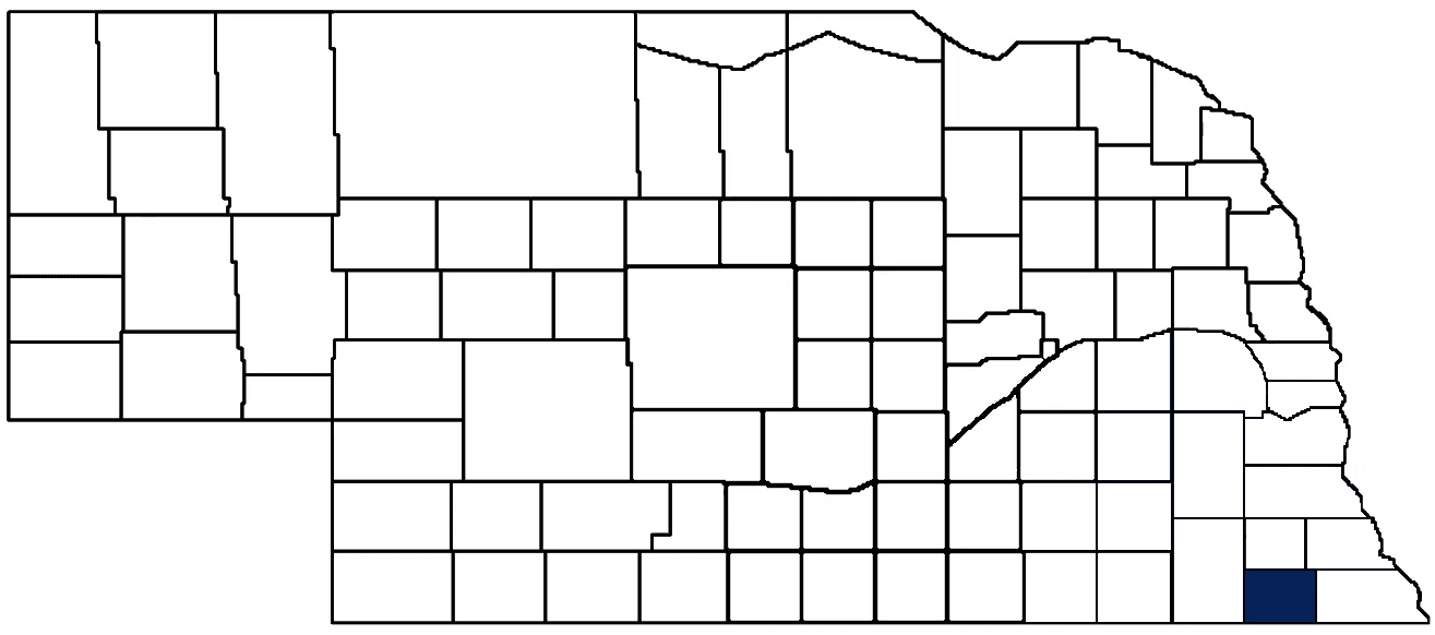
- General Info
- Demographics
- Education and Employment
- Valuation and Taxes Levied
- State Senators
- History
- County Programs
- Other Information
Communities and Development
Pawnee County Seat: Pawnee City
Total County Population: 2,544
- Cities (pop. & class): Pawnee City (865 • 2nd Class)
- Villages (pop.): Burchard (76), DuBois (122), Lewiston (55), Steinauer (59), Table Rock (233)
- Unincorporated Pop. (% of county pop.): 1,134 (45%) 2020
Land Development (% of total land in county):
- Agriculture: 86%
- By method: Dryland (row crop/grain/forage) (50%); Pasture (pure grassland) (35%); Irrigated (row crop/grain/forage) (1%) • Neb. Dept. of Rev. - total equals agriculture's %
- By commodity: Livestock (grassland) 30%, Soybeans 26%, Corn 24%, Other Hay 2%, Alfalfa 1% • USDA - equals agriculture's % minus public grassland/wetlands and reserve
- Residential, Commercial, Industrial, Conservation Reserve & Exempt (combined): 9%
- Timber: 5% 2022
County Offices
Courthouse Address and Hours:
625 6th Street
Pawnee City, Nebraska 68420
M-F 8:00 am - 12:30 pm; 1:00 pm - 4:00 pm
Complete list of county board members
County Board Meetings: Every other Tuesday
View the County's Government Maps
NACO District: Southeast
General
Population: 2,548
Land area (sq. mi.): 431.08
Population per square mile: 5.9
Race and Age
Race 2020
White: 96.1%
African American: 0.2%
American Indian: 0.3%
Asian: 0.0%
Hispanic: 1.5%
Native Hawaiian and Pacific Islander: 0.0%
Two or More Races: 1.7%
Age 2020
0-17: 22.6%
18-64: 49.2%
65+: 28.3%
Households
Total households: 1,108 2020
With one child: 110 2022
With 2+ children: 150 2022
With seniors (65+): 400 2022
Socioeconomics
Personal income per capita: $54,926 2023
% of Population in Poverty: 13.2% 2022
# of Housing Units: 1,402 2020
Owner-occupied rate: 80.8% 2020
Median home price: $80,910 Q4 2024
2024 building permits for detached single family homes: 2
2024 building permits for non-detached housing units: 0 (townhouse, duplex, or apt. unit)
Technology
Access to broadband (100 Mbps via fiber or cable modem): 71.9% 2021
Sources: National Association of Realtors, Nebraska Department of Revenue, Nebraska Legislature, Nebraska Library Commission, U.S. Bureau of Economic Analysis, U.S. Census Bureau (building permits), U.S. Census Bureau (demographics), U.S. Census Bureau (municipalities)
Employment, Schools, and Child Care
Unemployment rate: 2.7% March 2025
County Employment Website: https://www.adamscounty.org/employment
High school graduate or higher: 83.8% 2020
School Districts: Humboldt Table Rock Steinauer, Johnson-Brock Public Schools, Johnson County Central Public Schools, Lewiston Consolidated Schools, Pawnee City Public Schools, Southern School District 1
Bachelor's degree or higher: 15.6% 2020
Community College Service Area: Southeast Community College
Countywide child care capacity: 4 providers; 75 children 2024
Find child care: For a list of child care providers in your zip code, visit Nebraska DHHS or the Nebraska Resource and Referral System.
Pawnee County Economy
Annual Gross Domestic Product (GDP): $171,671,000 2023
Nonfarm Small Business Receipts: $26,659,674 2022
Nonfarm Wage Income: $37,961,000 2022
Farm and Ranch Commodity Sales Receipts: $77,963,000 2022
Farm and Ranch Operations (Non-Sales) Receipts: $7,855,000 2022
- For components of nonfarm small business receipts, nonfarm wage income, and farm & ranch commodity sales and operations receipts, see "Notes" below.
Grain Elevators by Location (bushel capacity):
- Burchard: Farmers (2,582,621)
- Pawnee City: Farmers (389,062)
- (1 bushel = 56 lbs. corn/sorghum, 60 lbs. soybeans/wheat; % max. moisture = 18% beans, 15.5% corn, 14% sorghum/soybeans, 13.5% wheat)
Railroad Miles: 20.60 main, 5.00 side
- Places with Railroad Service: Pawnee City, Table Rock
Local Grain Market: Click for today's grain prices in Pawnee County
Cattle Producers: 189
- Pastureland Cash Rent (avg.): $53/acre
Crop Producers: 18
- Dryland Cash Rent (avg.): $160/acre
Grain Co-ops and Purchasers: Ag Partners, Farmers Union Coop
Electricity Providers: Nebraska PPD, Omaha PPD
Irrigation and Drinking Water
Rural Irrigation Wells: 10 2024
Rural Livestock Wells: 12 2024
Rural Commercial/Industrial Wells: 0 2024
Rural Drinking Water Wells: 26 2024
Drinking Water Utility Connections: 2,774 Residential; 495 Commercial; 4 Industrial 2024
Surface Water Diversions (Irrigation): 134 2024
Notes
Pawnee County Economy
- Nonfarm small business receipts are reported by partnerships and sole proprietorships. They do not include receipts reported by cooperative associations.
- Nonfarm wage income is reported based upon the wage earner's residential address; therefore, it also includes wages earned by Pawnee County residents in other counties or states, but it excludes wages earned in Pawnee County by residents of other counties or states.
- Nonfarm wage income excludes wages earned by anyone claimed as a dependent.
- Farm and ranch commodity sales receipts and operations receipts are reported based upon the farm or ranch owner's principal county of operations; therefore, those figures also include receipts reported by producers operating principally in Pawnee County for their production in other counties or states, but the figures exclude receipts reported for production in Pawnee County by producers operating principally in other counties or states.
Irrigation and Drinking Water
- A rural irrigation well is any well intended for irrigating crops that, either on its own or as part of a set of commingled wells, is capable of pumping more than fifty (50) gallons of water per minute (gpm). Note that some rural commercial/industrial wells are also capable of pumping more than 50 gpm. In Nebraska, the owner of any well--or set of commingled wells--that is capable of pumping more than 50 gpm must register the well(s) with the state government and have a permit for the well(s) from the local natural resource district (NRD).
- Rural livestock wells and rural drinking water (also known as "domestic") wells are not allowed to pump more than 50 gpm unless permitted by the local NRD. Each rural drinking water well usually serves one single family home, though in rare cases a rural drinking water well serves multiple homes.
- Data on rural livestock wells and rural drinking water wells may be incomplete for wells drilled prior to September 9, 1993. State law does not require wells drilled prior to that date to be registered with the state government if the wells are not capable of pumping more than 50 gpm. Neb. Rev. Stat. § 46-735; see Laws 1993, LB 131, § 25.
Sources: National Agricultural Statistics Service (USDA), Nebraska Cooperative Council, Nebraska Coordinating Commission for Postsecondary Education, Nebraska Department of Health and Human Services, Nebraska Department of Revenue, Nebraska Department of Transportation, Nebraska Office of the CIO, Nebraska Power Review Board, Nebraska Public Service Commission, U.S. Bureau of Economic Analysis, U.S. Bureau of Labor Statistics, U.S. Census Bureau, U.S. Energy Information Administration, U.S. Department of the Treasury (IRS), Warehouse and Commodity Management Division (USDA)
2024 Levies and Valuation
County levy rate: $0.3037 per $100 of taxable valuation
County property taxes levied: $2,727,711
Total local government property taxes levied: $10,409,584
Total countywide taxable valuation: $837,937,816
Click here for all levy rates in Pawnee County
County Levy and Taxation Laws
Levy limits
Since 1996, counties and other political subdivisions have been subject to the levy limits listed in Neb. Rev. Stat. § 77-3442 and Neb. Rev. Stat. § 77-3443.
Statutes and regulations
Nebraska Revised Statutes (Chapter 77)
Nebraska Administrative Code (Title 350)
Local tax reductions, exemptions, and credits
Neb. Rev. Stat. § 76-902(5)(a) (Deed "stamp tax" exemption): "The [stamp tax] shall not apply to: ... (5)(a) Deeds between spouses, between ex-spouses for the purpose of conveying any rights to property acquired or held during the marriage, or between parent and child, without actual consideration therefor."
Neb. Rev. Stat. § 77-201(2) (Valuation of agricultural land and horticultural land): "Agricultural land and horticultural land as defined in section 77-1359 shall constitute a separate and distinct class of property for purposes of property taxation, shall be subject to taxation, unless expressly exempt from taxation, and shall be valued at seventy-five percent of its actual value, except that for school district taxes levied to pay the principal and interest on bonds that are approved by a vote of the people on or after January 1, 2022, such land shall be valued at fifty percent of its actual value."
Neb. Rev. Stat. § 77-6703(1) (Tax credit for school district taxes paid): "(1) For taxable years beginning or deemed to begin on or after January 1, 2020, under the Internal Revenue Code of 1986, as amended, there shall be allowed to each eligible taxpayer a refundable credit against the income tax imposed by the Nebraska Revenue Act of 1967 or against the franchise tax imposed by sections 77-3801 to 77-3807. The credit shall be equal to the credit percentage for the taxable year, as set by the department under subsection (2) of this section, multiplied by the amount of school district taxes paid by the eligible taxpayer during such taxable year."
Sources: Nebraska Department of Revenue
State Senator: Robert Hallstrom (District 1)
Committees
Map and statistics for Legislative District 1
Map of all districts in the Nebraska Unicameral Legislature

Pawnee County History
Number of Registered Historic Places: 14
Year Authorized: 1854
Year Organized: 1854
Etymology: Pawnee Native American tribe
As one would conclude, Pawnee County and the county seat of Pawnee City were both named after the Pawnee Indians who inhabited the area. According to history, Turkey Creek, near where Pawnee City is located, was a popular campsite for the tribe.
The county boundaries were defined by the Legislature in 1855, redefined the following year, and reapproved in 1862. The first election was held in 1856 and it was decided that Pawnee City would serve as the seat of the government. The decision was made to build a courthouse, but due to continuous delays and a lack of funds, the two-story structure was never completed. Deteriorated to the point where it could not be repaired, the building was eventually leveled by strong winds in 1860.
Nine years later, efforts were renewed to build a permanent structure and a two-story limestone building was completed at a cost of just over $15,000. Despite some remodeling and renovation projects, the courthouse proved to be too small. In 1911, $85,000 in bonds were approved for the construction of the present courthouse. Once again made of limestone and brick, the building features a decorative relief sculpture over the building's main entrance.
The earliest settlers of record to make a claim in this area were from Ohio. When they found no land available in Missouri, Christian Bobst, Robert Turner, Jacob Adams and Robert Archer crossed over into the Nebraska Territory and settled along the south forth of the Nemaha River, located in the far southeast corner of the county. The four settlers named the area Cincinnati, in honor of the city in their native Ohio. The area, however, would never progress to their expectations and eventually ceased to exist as a settlement.
In more modern times, the advancement of farming throughout the area and the coming of the rail lines helped Pawnee County established itself. Today, the rolling green prairie that greeted the first settlers has given way to prosperous family farming operations.
Highlight an important program in your county in this space! Send an email to:
Local Highlights
License Plate Number: 54
Time Zone: Central
Number of Veterans: 168 2023
Zoned County: Yes
County Hospital: Pawnee County Memorial Hospital
Number of County-Owned Bridges: 170
Number of County-Owned Dams: 2
Election Data
General Election Turnout: 78% 2024
Total Registered Voters: 1,798 2024
Number of Precincts: 5 2022
Number of Election Day Polling Places: 5 2022
Land Area per Polling Place (avg.): 86.59 sq. miles
Intergovernmental Data
Emergency Mgt. Planning, Exercise and Training (PET) Region: Southeast
Natural Resource Districts: Lower Big Blue NRD, Nemaha NRD
State Lands (acres): Bowwood WMA (320), Burchard WMA (560), Iron Horse Trail WMA (19), Lores Branch WMA (130.16), Mayberry WMA (176.69), Pawnee Prairie WMA (1,140), Prairie Knoll WMA (120), Table Rock WMA (415.19), Taylor's Branch WMA (240)
Sources: Nebraska Department of Transportation, Nebraska Emergency Management Agency, Nebraska Game & Parks Commission, Nebraska Legislature, Nebraska Office of the CIO, Nebraska Secretary of State, U.S. Department of Veterans Affairs, U.S. Election Assistance Commission, U.S. National Archives and Records Administration (eCFR)