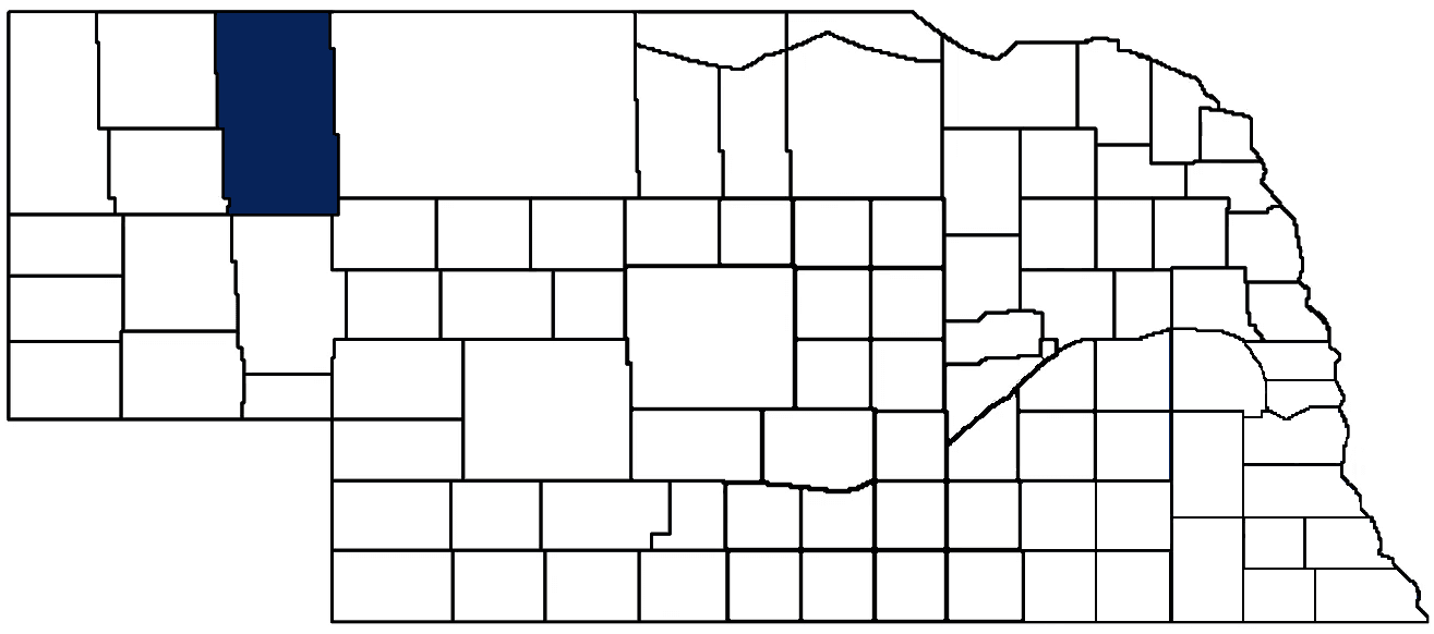
- General Info
- Demographics
- Education and Employment
- Valuation and Taxes Levied
- State Senators
- History
- County Programs
- Other Information
Communities and Development
Sheridan County Seat (pop.): Rushville (816)
Total County Population: 5,127
- Cities (pop. & class): Gordon (1,504 • 2nd Class), Hay Springs (599 • 2nd Class), Rushville (816 • 2nd Class)
- Villages (pop.): Clinton (38), Ellsworth (32), Whiteclay (10)
- Unincorporated Pop. (% of county pop.): 2,769 (54%) 2020
Land Development (% of total land in county):
- Agriculture: 94%
- By method: Pasture (pure grassland) (81%); Dryland (row crop/grain/forage) (9%); Irrigated (row crop/grain/forage) (4%) • Neb. Dept. of Rev. - total equals agriculture's %
- By commodity: Livestock (grassland) 77%, Alfalfa 3%, Corn 3%, Wheat 2%, Sunflower Seed 1%, Millet 1% • USDA - equals agriculture's % plus some wetlands (4%) and some fallow land (1%) and minus public grassland/wetlands and reserve
- Residential, Commercial, Industrial, Conservation Reserve & Exempt (combined): 6% 2022
County Offices
Courthouse Address and Hours:
500 West 4th Street
Hastings, Nebraska 68901
M-F 9:00 am - 5:00 pm
Complete list of county board members
County Board Meetings: Tuesday
View the County's Government Maps
NACO District: Panhandle
Click for a live look at Sheridan County (west of Rushville)
General
Population: 5,127
Land area (sq. mi.): 2,440.89
Population per square mile: 2.1
Race
Race 2020
White: 79.9%
African American: 0.3%
American Indian: 10.2%
Asian: 0.6%
Hispanic: 4.3%
Native Hawaiian and Pacific Islander: 0.0%
Two or More Races: 4.5%
Age 2020
0-17: 22.0%
18-64: 51.6%
65+: 26.4%
Households
Total households: 2,163 2020
With one child: 260 2022
With 2+ children: 310 2022
With seniors (65+): 610 2022
Socioeconomics
Median household income: $56,900 2023
% of Population in Poverty: 14.6% 2023
# of Housing Units: 2,699 2020
Owner-occupied rate: 71.0% 2020
Median home price: $111,310 Q4 2024
2024 building permits for detached single family homes: 4
2024 building permits for non-detached housing units: 0 (townhouse, duplex, or apt. unit)
Technology
Access to broadband (100 Mbps via fiber or cable modem): 25.7% 2021
Sources: National Association of Realtors, Nebraska Department of Revenue, Nebraska Legislature, Nebraska Library Commission, U.S. Bureau of Economic Analysis, U.S. Census Bureau (building permits), U.S. Census Bureau (demographics), U.S. Census Bureau (municipalities)
Employment, Schools, and Child Care
Unemployment rate: 1.9% March 2025
County Employment Website: https://sheridancounty.ne.gov/webpages/links/public_notices.html
High school graduate or higher: 89.1% 2020
School Districts: Alliance Public Schools, Chadron Public Schools, Hay Springs Public Schools, Hemingford Public Schools, Hyannis Area Schools, Gordon-Rushville Public Schools
Bachelor's degree or higher: 20.4% 2020
Community College Service Area: Western Community College
Countywide child care capacity: 7 providers; 163 children 2024
Find child care: For a list of child care providers in your zip code, visit Nebraska DHHS or the Nebraska Resource and Referral System.
Sheridan County Economy
Annual Gross Domestic Product (GDP): $409,323,000 2023
Nonfarm Small Business Receipts: $143,206,735 2022
Nonfarm Wage Income: $76,826,000 2022
Farm and Ranch Commodity Sales Receipts: $165,113,000 2022
Farm and Ranch Operations (Non-Sales) Receipts: $11,806,000 2022
- For components of nonfarm small business receipts, nonfarm wage income, and farm & ranch commodity sales and operations receipts, see "Notes" below.
Grain Elevators by Location (bushels capacity):
- Clinton: Legacy (708,000)
- Gordon: Legacy (2,366,000)
- Hay Springs: Kelley Bean (17,000), Legacy (1,519,000)
- Rural Hay Springs: Legacy (1,302,000)
- (1 bushel = 56 lbs. corn/sorghum, 60 lbs. soybeans/wheat; % max. moisture = 18% beans, 15.5% corn, 14% sorghum/soybeans, 13.5% wheat)
Railroad Miles: 63.00 main, 4.58 side
- Places with Railroad Service: Antioch, Bingham, Ellsworth, Lakeside
Local Grain Market: Click for today's grain prices in Sheridan County
Cattle Producers: 280
- Pastureland Cash Rent (avg.): $16/acre 2024
Crop Producers: 165
- Dryland Cash Rent (avg.): $36/acre 2024
- Irrigated Land Cash Rent (avg.): $186/acre 2024
Farmers Markets:
- Gordon Farmers Market - Main Street (June - October 10, Saturdays 7:30 a.m. - 1:00 p.m.; Sat)
- Gordon Farmers Market - Pizza Hut (June - October, Monday - Friday 9:00 a.m. - 3:00 p.m.)
Electricity Providers: Nebraska PPD, Northwest Rural PPD, PREMA
Irrigation and Drinking Water
Rural Irrigation Wells: 659 2024
Rural Livestock Wells: 1,246 2024
Rural Commercial/Industrial Wells: 5 2024
Rural Drinking Water Wells: 279 2024
Drinking Water Utility Connections: 1,336 Residential; 186 Commercial; 0 Industrial 2024
Surface Water Diversions (Irrigation): 94 2024
Click for real time:
Groundwater level data near 390th Ln. & county's southern border (49 mi. south of Rushville)
Groundwater level data near 269th Trl. & county's western border (28.5 mi. south of Hay Springs)
Notes
Sheridan County Economy
- Nonfarm small business receipts are reported by partnerships and sole proprietorships. They do not include receipts reported by cooperative associations.
- Nonfarm wage income is reported based upon the wage earner's residential address; therefore, it also includes wages earned by Sheridan County residents in other counties or states, but it excludes wages earned in Sheridan County by residents of other counties or states.
- Nonfarm wage income excludes wages earned by anyone claimed as a dependent.
- Farm and ranch commodity sales receipts and operations receipts are reported based upon the farm or ranch owner's principal county of operations; therefore, those figures also include receipts reported by producers operating principally in Sheridan County for their production in other counties or states, but the figures exclude receipts reported for production in Sheridan County by producers operating principally in other counties or states.
Irrigation and Drinking Water
- A rural irrigation well is any well intended for irrigating crops that, either on its own or as part of a set of commingled wells, is capable of pumping more than fifty (50) gallons of water per minute (gpm). Note that some rural commercial/industrial wells are also capable of pumping more than 50 gpm. In Nebraska, the owner of any well--or set of commingled wells--that is capable of pumping more than 50 gpm must register the well(s) with the state government and have a permit for the well(s) from the local natural resource district (NRD).
- Rural livestock wells and rural drinking water (also known as "domestic") wells are not allowed to pump more than 50 gpm unless permitted by the local NRD. Each rural drinking water well usually serves one single family home, though in rare cases a rural drinking water well serves multiple homes.
- Data on rural livestock wells and rural drinking water wells may be incomplete for wells drilled prior to September 9, 1993. State law does not require wells drilled prior to that date to be registered with the state government if the wells are not capable of pumping more than 50 gpm. Neb. Rev. Stat. § 46-735; see Laws 1993, LB 131, § 25.
Sources: National Agricultural Statistics Service (USDA), Nebraska Cooperative Council, Nebraska Coordinating Commission for Postsecondary Education, Nebraska Department of Health and Human Services, Nebraska Department of Revenue, Nebraska Department of Transportation, Nebraska Office of the CIO, Nebraska Power Review Board, Nebraska Public Service Commission, U.S. Bureau of Economic Analysis, U.S. Bureau of Labor Statistics, U.S. Census Bureau, U.S. Energy Information Administration, U.S. Department of the Treasury (IRS), Warehouse and Commodity Management Division (USDA)
2024 Levies and Valuation
County levy rate: $0.3044 per $100 of taxable valuation
County property taxes levied: $4,469,150
Total local government property taxes levied: $17,041,830
Total countywide taxable valuation: $1,468,102,182
Federal PILT payment to Sheridan County (FY2024): $439 regarding 131 federally-owned acres
Click here for all levy rates in Sheridan County
County Levy and Taxation Laws
Levy limits
Since 1996, counties and other political subdivisions have been subject to the levy limits listed in Neb. Rev. Stat. § 77-3442 and Neb. Rev. Stat. § 77-3443.
Statutes and regulations
Nebraska Revised Statutes (Chapter 77)
Nebraska Administrative Code (Title 350)
Local tax reductions, exemptions, and credits
Neb. Rev. Stat. § 76-902(5)(a) (Deed "stamp tax" exemption): "The [stamp tax] shall not apply to: ... (5)(a) Deeds between spouses, between ex-spouses for the purpose of conveying any rights to property acquired or held during the marriage, or between parent and child, without actual consideration therefor."
Neb. Rev. Stat. § 77-201(2) (Valuation of agricultural land and horticultural land): "Agricultural land and horticultural land as defined in section 77-1359 shall constitute a separate and distinct class of property for purposes of property taxation, shall be subject to taxation, unless expressly exempt from taxation, and shall be valued at seventy-five percent of its actual value, except that for school district taxes levied to pay the principal and interest on bonds that are approved by a vote of the people on or after January 1, 2022, such land shall be valued at fifty percent of its actual value."
Neb. Rev. Stat. § 77-6703(1) (Tax credit for school district taxes paid): "(1) For taxable years beginning or deemed to begin on or after January 1, 2020, under the Internal Revenue Code of 1986, as amended, there shall be allowed to each eligible taxpayer a refundable credit against the income tax imposed by the Nebraska Revenue Act of 1967 or against the franchise tax imposed by sections 77-3801 to 77-3807. The credit shall be equal to the credit percentage for the taxable year, as set by the department under subsection (2) of this section, multiplied by the amount of school district taxes paid by the eligible taxpayer during such taxable year."
Sources: Nebraska Department of Revenue
State Senator: Tanya Storer (District 43)
Committees
Map and statistics for Legislative District 43
Map of all districts in the Nebraska Unicameral Legislature

Sheridan County History
Number of Registered Historic Places: 10
Year Authorized: 1885
Year Organized: 1885
Etymology: Philip Sheridan (U.S. army general)
Sheridan County was originally part of a larger block of unorganized land known as Sioux Territory. The county was officially formed in 1885 and named for General Philip Sheridan, known for his “scorched earth” tactics during the Civil War and brutal campaigns against the Native American tribes during the Indian Wars.
In 1881, the first white settlement was established northwest of present-day Rushville. Four years later, then-Governor James Dawes issued a proclamation that established Sioux, Dawes, and Sheridan County; the proclamation established Rushville as the county seat. In its earliest days, the county was fairly removed from civilization, even by standards of the day. The railroad ended at Valentine, meaning that prospective homesteaders continued their journey west in covered wagons. Early residents of Sheridan County built dugouts and sod houses or simply lived in tents.
Establishing Sheridan County’s seat proved no easy matter. Originally, Clinton, Hay Springs, Gordon, and Rushville vied for the honor of county seat. Rushville and Hay Springs became the finalists, and after an election in 1885, Hay Springs was declared the victor. Outraged at what they perceived as a fraudulent election, Rushville proponents appealed the decision through a series of lengthy legal challenges. Nearly one year later, the Nebraska Supreme Court ordered the county’s canvassing board to reconvene. Following a re-canvassing of the vote, the board declared Rushville the winner.
Sheridan County is home to numerous places listed on the National Register of Historic Places, including Camp Sheridan (the Post at Spotted Tail Indian Agency), Gourley’s Opera House, and the Loosveldt Bridge.
Highlight an important program in your county in this space! Send an email to:
Local Highlights
License Plate Number: 61
Time Zone: Mountain
Number of Veterans: 386 2023
Zoned County: Yes
Number of County-Owned Bridges: 24
Election Data
General Election Turnout: 75% 2024
Total Registered Voters: 3,383 2024
Number of Precincts: 8 2022
Number of Election Day Polling Places: 5 2022
Land Area per Polling Place (avg.): 488.18 sq. miles
Intergovernmental Data
Emergency Mgt. Planning, Exercise and Training (PET) Region: Panhandle
Natural Resource District: Upper Niobrara-White NRD
State Lands (acres): Metcalf WMA (3,317), Walgren Lake SRA (130), Smith Lake WMA (640.92)
Sources: Nebraska Department of Transportation, Nebraska Emergency Management Agency, Nebraska Game & Parks Commission, Nebraska Legislature, Nebraska Office of the CIO, Nebraska Secretary of State, U.S. Department of Veterans Affairs, U.S. Election Assistance Commission, U.S. National Archives and Records Administration (eCFR)