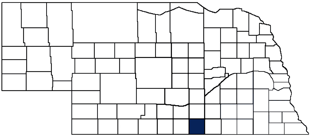
- General Info
- Demographics
- Education and Employment
- Valuation and Taxes Levied
- State Senators
- History
- County Programs
- Other Information
Communities and Development
Webster County Seat: Red Cloud
Total County Population: 3,395
- Cities (pop. & class): Blue Hill (805 • 2nd Class), Red Cloud (962 • 2nd Class)
- Villages (pop.): Bladen (205), Cowles (21), Guide Rock (199), Inavale (66)
- Unincorporated Pop. (% of county pop.): 1,203 (35%) 2020
Land Development (% of total land in county):
- Agriculture: 90%
- By method: Pasture (pure grassland) (40%); Dryland (row crop/grain/forage) (32%); Irrigated (row crop/grain/forage) (19%) • Neb. Dept. of Rev. - total equals agriculture's %
- By commodity: Livestock (grassland) 39%, Corn 27%, Soybeans 18%, Wheat 3%, Alfalfa 3%, Sorghum 1% • USDA - equals agriculture's % plus some wetlands (2%) and minus public grassland/wetlands and reserve
- Residential, Commercial, Industrial, Conservation Reserve & Exempt (combined): 8%
- Timber: 2% 2022
County Offices
Courthouse Address and Hours:
621 N Cedar Street
Red Cloud, NE 68970
M-F 8:00 am - 4:00 pm
Complete list of county board members
County Board Meetings: 1st & 3rd Tuesday
View the County's Government Maps
NACO District: Central
General
Population: 3,395
Land area (sq. mi.): 574.91
Population per square mile: 5.9
Race and Age
Race 2020
White: 91.6%
African American: 0.4%
American Indian: 0.4%
Asian: 0.3%
Hispanic: 4.4%
Native Hawaiian and Pacific Islander: 0.0%
Two or More Races: 2.9%
Age 2020
0-17: 22.7%
18-64: 54.7%
65+: 22.6%
Households
Total households: 1,454 2020
With one child: 160 2022
With 2+ children: 220 2022
With seniors (65+): 400 2022
Socioeconomics
Median household income: $65,197 2023
% of Population in Poverty: 11.3% 2023
# of Housing Units: 1,788 2020
2023 housing unit building permits: 0
Owner-occupied rate: 77.4% 2020
Median home price: $110,340 Q4 2024
2024 building permits for detached single family homes: 2
2024 building permits for non-detached housing units: 0 (townhouse, duplex, or apt. unit)
Technology
Access to broadband (100 Mbps via fiber or cable modem): 85.1% 2021
Sources: National Association of Realtors, Nebraska Department of Revenue, Nebraska Legislature, Nebraska Library Commission, U.S. Bureau of Economic Analysis, U.S. Census Bureau (building permits), U.S. Census Bureau (demographics), U.S. Census Bureau (municipalities)
Employment, Education, and Child Care
Unemployment rate: 2.8% March 2025
County Employment Website: https://co.webster.ne.us/webpages/about/employment.html
High school graduate or higher: 94.9% 2020
School Districts: Adams Central Public Schools, Blue Hill Public Schools, Red Cloud Community Schools, Silver Lake Public Schools, South Central Public Schools, Superior Public Schools
Bachelor's degree or higher: 22.4% 2020
Community College Service Area: Central Community College
Countywide child care capacity: 4 providers; 178 children 2024
Find child care: For a list of child care providers in your zip code, visit Nebraska DHHS or the Nebraska Resource and Referral System.
Webster County Economy
Annual Gross Domestic Product (GDP): $430,608,000 2023
Nonfarm Small Business Receipts: $34,251,328 2022
Nonfarm Wage Income: $61,480,000 2022
Farm and Ranch Commodity Sales Receipts: $409,211,000 2022
Farm and Ranch Operations (Non-Sales) Receipts: $10,326,000 2022
- For components of nonfarm small business receipts, nonfarm wage income, and farm & ranch commodity sales and operations receipts, see "Notes" below.
Grain Elevators by Location (bushels capacity):
- Bladen: CHS (2,939,000)
- Cowles: AGP (782,000)
- Guide Rock: Ely's (559,361)
- Red Cloud: CPI (8,630,000)
- Rosemont: AGP (594,000)
- (1 bushel = 56 lbs. corn/sorghum, 60 lbs. soybeans/wheat; % max. moisture = 18% beans, 15.5% corn, 14% sorghum/soybeans, 13.5% wheat)
Railroad Miles: 34.07 main, 4.57 side
- Places with Railroad Service: Blue Hill, Cowles, Guide Rock, Red Cloud
Local Grain Market: Click for today's grain prices in Webster County
Cattle Producers: 187
- Pastureland Cash Rent (avg.): $41/acre 2024
Crop Producers: 112
- Dryland Cash Rent (avg.): $120/acre 2024
Dairy Producers: 1
Electricity Providers: City of Blue Hill, City of Red Cloud, South Central PPD, Southern PPD
Wind Turbines Operating (MW): 113 turbines (272,460 MW total)
Irrigation and Drinking Water
Rural Irrigation Wells: 717 2024
Rural Livestock Wells: 198 2024
Rural Commercial/Industrial Wells: 2 2024
Rural Drinking Water Wells: 149 2024
Drinking Water Utility Connections: 1,150 Residential; 105 Commercial; 5 Industrial 2024
Surface Water Diversions (Irrigation): 82 2024
Click for real time:
Streamflow data on the Republican River at Guide Rock
Groundwater level data near Rd. K & Rd. 300 (3.5 mi. northwest of Inavale)
Notes
Webster County Economy
- Nonfarm small business receipts are reported by partnerships and sole proprietorships. They do not include receipts reported by cooperative associations.
- Nonfarm wage income is reported based upon the wage earner's residential address; therefore, it also includes wages earned by Keya Paha County residents in other counties or states, but it excludes wages earned in Keya Paha County by residents of other counties or states.
- Nonfarm wage income excludes wages earned by anyone claimed as a dependent.
- Farm and ranch commodity sales receipts and operations receipts are reported based upon the farm or ranch owner's principal county of operations; therefore, those figures also include receipts reported by producers operating principally in Keya Paha County for their production in other counties or states, but the figures exclude receipts reported for production in Keya Paha County by producers operating principally in other counties or states.
Irrigation and Drinking Water
- A rural irrigation well is any well intended for irrigating crops that, either on its own or as part of a set of commingled wells, is capable of pumping more than fifty (50) gallons of water per minute (gpm). Note that some rural commercial/industrial wells are also capable of pumping more than 50 gpm. In Nebraska, the owner of any well--or set of commingled wells--that is capable of pumping more than 50 gpm must register the well(s) with the state government and have a permit for the well(s) from the local natural resource district (NRD).
- Rural livestock wells and rural drinking water (also known as "domestic") wells are not allowed to pump more than 50 gpm unless permitted by the local NRD. Each rural drinking water well usually serves one single family home, though in rare cases a rural drinking water well serves multiple homes.
- Data on rural livestock wells and rural drinking water wells may be incomplete for wells drilled prior to September 9, 1993. State law does not require wells drilled prior to that date to be registered with the state government if the wells are not capable of pumping more than 50 gpm. Neb. Rev. Stat. § 46-735; see Laws 1993, LB 131, § 25.
Sources: National Agricultural Statistics Service (USDA), Nebraska Cooperative Council, Nebraska Coordinating Commission for Postsecondary Education, Nebraska Department of Health and Human Services, Nebraska Department of Revenue, Nebraska Department of Transportation, Nebraska Office of the CIO, Nebraska Power Review Board, Nebraska Public Service Commission, U.S. Bureau of Economic Analysis, U.S. Bureau of Labor Statistics, U.S. Census Bureau, U.S. Energy Information Administration, U.S. Department of the Treasury (IRS), Warehouse and Commodity Management Division (USDA)
2024 Levies and Valuation
County levy rate: $0.2929 per $100 of taxable valuation
County property taxes levied: $3,883,576
Total local government property taxes levied: $15,558,834
Total countywide taxable valuation: $1,325,984,622
Federal PILT payment to Webster County (FY2024): $3,911 regarding 1,168 federally-owned acres
Click here for all levy rates in Webster County
County Levy and Taxation Laws
Levy limits
Since 1996, counties and other political subdivisions have been subject to the levy limits listed in Neb. Rev. Stat. § 77-3442 and Neb. Rev. Stat. § 77-3443.
Statutes and regulations
Nebraska Revised Statutes (Chapter 77)
Nebraska Administrative Code (Title 350)
Local tax reductions, exemptions, and credits
Neb. Rev. Stat. § 76-902(5)(a) (Deed "stamp tax" exemption): "The [stamp tax] shall not apply to: ... (5)(a) Deeds between spouses, between ex-spouses for the purpose of conveying any rights to property acquired or held during the marriage, or between parent and child, without actual consideration therefor."
Neb. Rev. Stat. § 77-201(2) (Valuation of agricultural land and horticultural land): "Agricultural land and horticultural land as defined in section 77-1359 shall constitute a separate and distinct class of property for purposes of property taxation, shall be subject to taxation, unless expressly exempt from taxation, and shall be valued at seventy-five percent of its actual value, except that for school district taxes levied to pay the principal and interest on bonds that are approved by a vote of the people on or after January 1, 2022, such land shall be valued at fifty percent of its actual value."
Neb. Rev. Stat. § 77-6703(1) (Tax credit for school district taxes paid): "(1) For taxable years beginning or deemed to begin on or after January 1, 2020, under the Internal Revenue Code of 1986, as amended, there shall be allowed to each eligible taxpayer a refundable credit against the income tax imposed by the Nebraska Revenue Act of 1967 or against the franchise tax imposed by sections 77-3801 to 77-3807. The credit shall be equal to the credit percentage for the taxable year, as set by the department under subsection (2) of this section, multiplied by the amount of school district taxes paid by the eligible taxpayer during such taxable year."
Sources: Nebraska Department of Revenue
State Senator: Dave Murman (District 38)
Committees
Map and statistics for Legislative District 38
Map of all districts in the Nebraska Unicameral Legislature

Webster County History
Number of Registered Historic Places: 36
Year Authorized: 1871
Year Organized: 1871
Etymology: Daniel Webster (U.S. senator)
The Territorial Legislature first established the boundaries of what is Webster County on Feb. 16, 1867. It would not be until four years later, however, that steps were taken to officially organize the county.
Webster County was attached to Jefferson County for a period of time. But in early 1871 the settlers in this area began meeting in dugouts to discuss what measures should be taken to petition for the separation of this area from Jefferson County and organize it as a new county. The initial meeting was held in the dugout of Silas Garber, said to be one of the first settlers in the area. As a consequence of this local effort, acting Gov. William H. James issued a proclamation on April 10 of that year calling for a special election to be conducted for the purpose of electing county officers and locating a county seat. The election was scheduled for nine days later.
Election day saw 42 votes cast. Among the county officers elected was Garber, who was selected to serve as judge. In addition, the site selected to serve as the county seat was located on Garber's claim. The area around Garber's homestead eventually became Red Cloud, the present county seat, and Garber himself would later be elected governor of Nebraska. Upon being organized, the county was officially named in honor of American statesman Daniel Webster.
The same year that the county was organized there were great fears of Indian attacks. Rumors persisted that Teton Sioux Chief Red Cloud, after whom the county seat was later named, was camped near the Garber stockade and accompanying him was a band of anywhere from 100 to more than 1,000 warriors. Following a period of confusion among the settlers, the rumor proved to be unfounded.
The year 1872 brought the first of real wave of immigrants to Webster County. Drawn by the Republican River and the fertile soil that could be found on both sides, these immigrants quickly began laying out homesteads and cultivating the land to plant crops. Webster County quickly began to prosper as a result of agriculture and continues to do so today.
Highlight an important program in your county in this space! Send an email to:
Communities and Development
License Plate Number: 45
Time Zone: Central
Number of Veterans: 196 2023
Zoned County: Yes
County Hospital: Webster County Community Hospital
Number of County-Owned Bridges: 149
Number of County-Owned Dams: 3
Election Data
General Election Turnout: 77% 2024
Total Registered Voters: 2,313 2024
Number of Precincts: 5 2022
Number of Election Day Polling Places: 5 2022
Land Area per Polling Place (avg.): 115.01 sq. miles
Intergovernmental Data
Emergency Mgt. Planning, Exercise and Training (PET) Region: South Central
Natural Resource Districts: Lower Republican NRD, Little Blue NRD
State Lands (acres): Elm Creek WMA (120), Guide Rock Diversion Dam WMA (518), Indian Creek WMA (124.93), Narrows WMA (236.40)
Federal Lands (acres): Guide Rock Diversion Dam Operations (518)
Sources: Nebraska Department of Transportation, Nebraska Emergency Management Agency, Nebraska Game & Parks Commission, Nebraska Legislature, Nebraska Office of the CIO, Nebraska Secretary of State, U.S. Department of Veterans Affairs, U.S. Election Assistance Commission, U.S. National Archives and Records Administration (eCFR)