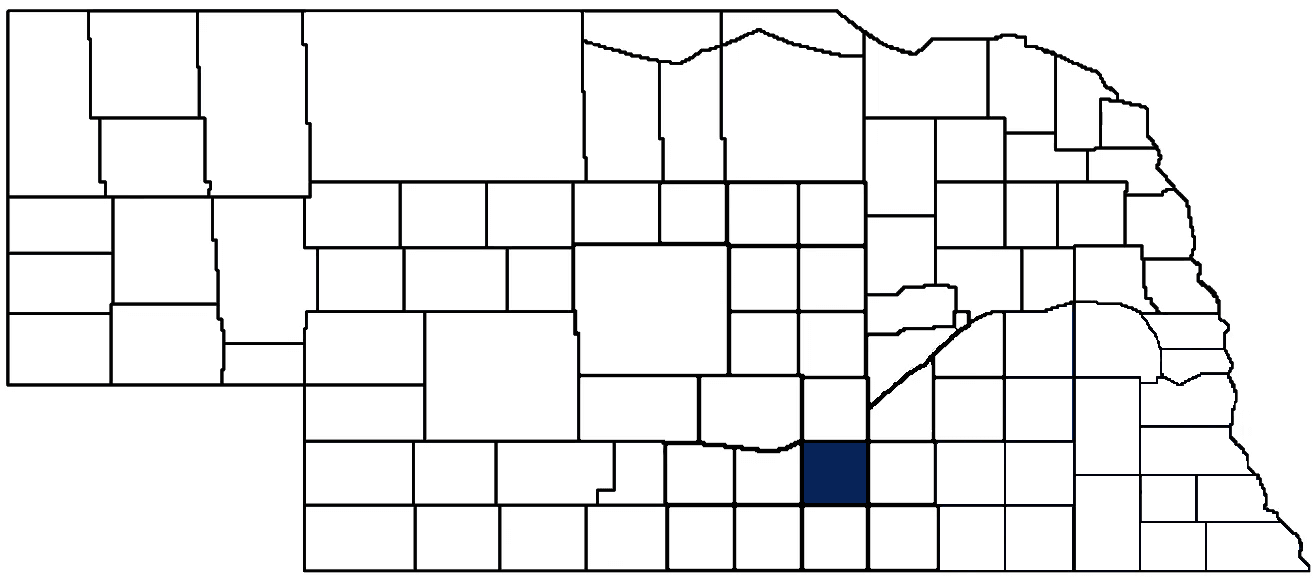
- General Info
- Demographics
- Education and Employment
- Valuation and Taxes Levied
- State Senators
- History
- County Programs
- Other Information
Communities & Development
Adams County Seat: Hastings
Total County Population: 31,205
- Cities (pop. & class): Hastings (25,121 • 1st Class)
- Villages (pop.): Ayr (84), Holstein (182), Juniata (736), Kenesaw (905), Prosser (78), Roseland (258)
- Unincorporated Pop. (% of total county pop.): 3,707 (12%) 2025
Land Development (% of total land in county):
- Agriculture: 90%
- By method: Irrigated (row crop/grain/forage) (67%), Dryland (row crop/grain/forage) (13%), Pasture (pure grassland) (11%)
- By commodity: Corn 50%, Soybeans 27%, Livestock (grassland) 11%, Alfalfa 1%, plus some wetlands (1%) and some wooded grazing land (1%) and minus public grassland/wetlands and reserve
- Residential, Commercial, Industrial, Conservation Reserve & Exempt (combined): 10% Note: method & commodity total percentages each equal agriculture's 90%; Neb. Dept. of Rev. & USDA 2022
County Offices
Courthouse Address and Hours:
500 West 4th Street
Hastings, Nebraska 68901
M-F 9:00 am - 5:00 pm
Complete list of county board members
County Board Meetings: 1st & 3rd Tuesday
View the County's Government Maps
NACO District: Central
General
Population: 31,071
Land area (sq. mi.): 563.27
Population per square mile: 55.2
Race & Age
Race 2024
White: 82.3%
African American: 1.4%
American Indian: 0.2%
Asian: 1.0%
Hispanic: 12.5%
Native Hawaiian and Pacific Islander: 0%
Two or More Races: 2.4%
Age 2024
0-17: 24.1%
18-64: 57.0%
65+: 18.8%
Households
Total households: 13,076 2024
With one child: 1,780 2023
With 2+ children: 2,280 2023
With seniors (65+): 1,830 2023
Socioeconomics
Median household income: $68,365 2024
% of population in poverty: 11.0% 2024
# of housing units: 13,934 2024
Median home price: $201,070 Q4 2025
Owner-occupied rate: 66.8% 2024
2025 building permits for detached single family homes: 65
2025 building permits for non-detached housing units: 54 (townhouse, duplex, or apt. unit)
Technology
Access to broadband (100 Mbps via fiber or cable modem): 99.4% 2025
Sources: National Association of Realtors, Nebraska Department of Revenue, Nebraska Legislature, Nebraska Library Commission, U.S. Bureau of Economic Analysis, U.S. Census Bureau (building permits), U.S. Census Bureau (demographics), U.S. Census Bureau (municipalities)
Employment, Schools, and Child Care
Unemployment rate: 3.4% February 2026
County Employment Website: https://www.adamscounty.org/employment
High school graduate or higher: 92.6% 2024
School Districts: Adams Central Public Schools, Blue Hill Public Schools, Doniphan-Trumbull Public Schools, Hastings Public Schools, Kenesaw Public Schools, Minden Public Schools, Shelton Public Schools, Silver Lake Public Schools, South Central Nebraska Unified 5
Bachelor's degree or higher: 29.6% 2024
Community College Service Area: Central Community College
Countywide child care capacity: 38 providers; 1,518 children 2024
Find child care: For a list of child care providers in your zip code, visit Nebraska DHHS or the Nebraska Resource and Referral System.
Adams County Economy
Annual Gross Domestic Product (GDP): $2,660,995,000 2024
Nonfarm Small Business Receipts: $306,635,667 2023
Nonfarm Wage Income: $681,186,000 2022
Farm and Ranch Commodity Sales Receipts: $524,160,000 2022
Farm and Ranch Operations (Non-Sales) Receipts: $22,311,000 2022
- For components of nonfarm small business receipts, nonfarm wage income, and farm & ranch commodity sales and operations receipts, see "Notes" below.
Ethanol Plants (annual production capacity): Chief Ethanol Fuels (55 million gallons)
Grain Elevators by Location (bushels capacity):
- Hansen: CPI (1,666,000)
- Hastings: AGP (5,327,000), Columbia (340,000), CPI (340,000)
- Holstein: CPI (2,427,000)
- Juniata: CPI (2,368,000)
- Roseland: CHS (2,219,000)
- 1 bushel = 56 lbs. corn/sorghum, 60 lbs. soybeans/wheat; % max. moisture = 18% beans, 15.5% corn, 14% sorghum/soybeans, 13.5% wheat
Other Grain Purchasers:
- Hastings: Pillen Family Farms
- Juniata: Gottsch Cattle Company
Railroad Miles: 115.06 main, 28.99 side
- Places with Railroad Service: Ayr, Gaines, Hastings, Hayland, Juniata, Kenesaw, Roseland
Local Grain Market: Click for today's grain prices per bushel in Adams County
Cattle Producers: 144
- Pastureland Cash Rent (avg.): $47/acre/yr 2025
Crop Producers: 335
- Dryland Cash Rent (avg.): $138/acre/yr 2025
- Irrigated Land Cash Rent (avg.): $289/acre/yr 2025
Farmers Markets:
- Highland Park Farmers Market (June - October, Saturdays 8 a.m. - 12 p.m.; Sat)
- Thursday Evening Downtown Market (Hastings) (June - Sept, Thursdays 5:00 - 7:30 p.m.; Thurs)
- Tractor Supply Farmers Market (June - September, Thursdays 4 - 7 p.m. and Saturdays 8 a.m. - 12 p.m.; Thurs, Sat.)
Electricity Providers: City of Hastings, Southern PPD
Wind Turbines Operating (MW): 1 turbine (1,700 MW total)
Irrigation and Drinking Water
Rural Irrigation Wells: 2,491 2026
Rural Livestock Wells: 85 2026
Rural Commercial/Industrial Wells: 26 2026
Rural Drinking Water Wells: 545 2026
Drinking Water Utility Connections: 9,546 Residential; 1,561 Commercial; 3 Industrial 2024
Total Surface Water Diversions (Irrigation): 149 2024
Notes
Adams County Economy
- Nonfarm small business receipts are reported by partnerships and sole proprietorships. They do not include receipts reported by cooperative associations.
- Nonfarm wage income is reported based upon the wage earner's residential address; therefore, it also includes wages earned by Adams County residents in other counties or states, but it excludes wages earned in Adams County by residents of other counties or states.
- Nonfarm wage income excludes wages earned by anyone claimed as a dependent.
- Farm and ranch commodity sales receipts and operations receipts are reported based upon the farm or ranch owner's principal county of operations; therefore, those figures also include receipts reported by producers operating principally in Adams County for their production in other counties or states, but the figures exclude receipts reported for production in Adams County by producers operating principally in other counties or states.
Irrigation and Drinking Water
- A rural irrigation well is any well intended for irrigating crops that, either on its own or as part of a set of commingled wells, is capable of pumping more than fifty (50) gallons of water per minute (gpm). Note that some rural commercial/industrial wells are also capable of pumping more than 50 gpm. In Nebraska, the owner of any well--or set of commingled wells--that is capable of pumping more than 50 gpm must register the well(s) with the state government and have a permit for the well(s) from the local natural resource district (NRD).
- Rural livestock wells and rural drinking water (also known as "domestic") wells are not allowed to pump more than 50 gpm unless permitted by the local NRD.
- Data on rural livestock wells and rural drinking water wells may be incomplete for wells drilled prior to September 9, 1993. State law does not require wells drilled prior to that date to be registered with the state government if the wells are not capable of pumping more than 50 gpm. Neb. Rev. Stat. § 46-735; see Laws 1993, LB 131, § 25.
Sources: National Agricultural Statistics Service (USDA), Nebraska Cooperative Council, Nebraska Coordinating Commission for Postsecondary Education, Nebraska Department of Health and Human Services, Nebraska Department of Transportation, Nebraska Office of the CIO, Nebraska Power Review Board, Nebraska Public Service Commission, U.S. Bureau of Economic Analysis, U.S. Bureau of Labor Statistics, U.S. Census Bureau, U.S. Energy Information Administration, U.S. Department of the Treasury (IRS), Warehouse and Commodity Management Division (USDA)
Tax Year 2025 Levies and Valuation
County levy rate: $0.330 per $100 of taxable valuation
County property taxes levied: $18,438,130
Total local government property taxes levied: $78,373,644
Total countywide taxable valuation: $5,592,040,118
Click here for all levy rates in Adams County
County Levy and Taxation Laws
Levy limits:
Since 1996, counties and other political subdivisions have been subject to the levy limits under Neb. Rev. Stat. § 77-3442 and Neb. Rev. Stat. § 77-3443.
Property tax laws and regulations:
Nebraska Revised Statutes (Chapter 77)
Nebraska Administrative Code (Title 350)
Local tax reductions, exemptions, and credits:
Neb. Rev. Stat. § 76-902(5)(a) (Deed "stamp tax" exemption): "The [stamp tax] shall not apply to: ... (5)(a) Deeds between spouses, between ex-spouses for the purpose of conveying any rights to property acquired or held during the marriage, or between parent and child, without actual consideration therefor."
Neb. Rev. Stat. § 77-201(2) (Reduced valuation of agricultural land and horticultural land): "Agricultural land and horticultural land as defined in section 77-1359 shall constitute a separate and distinct class of property for purposes of property taxation, shall be subject to taxation, unless expressly exempt from taxation, and shall be valued at seventy-five percent of its actual value, except that for school district taxes levied to pay the principal and interest on bonds that are approved by a vote of the people on or after January 1, 2022, such land shall be valued at fifty percent of its actual value."
Neb. Rev. Stat. § 77-2004 ($100,000 exemption per listed inheritance recipient): "In the case of a father, mother, grandfather, grandmother, brother, sister, son, daughter, child or children legally adopted as such in conformity with the laws of the state where adopted, any lineal descendant, any lineal descendant legally adopted as such in conformity with the laws of the state where adopted, any person to whom the deceased for not less than ten years prior to death stood in the acknowledged relation of a parent, or the spouse or surviving spouse of any such persons, the rate of tax shall be: ... (b) For decedents dying on or after January 1, 2023, one percent of the clear market value of the property received by each person in excess of one hundred thousand dollars."
Neb. Rev. Stat. § 77-6703(1) (Tax credit for school district taxes paid): "(1) For taxable years beginning or deemed to begin on or after January 1, 2020, under the Internal Revenue Code of 1986, as amended, there shall be allowed to each eligible taxpayer a refundable credit against the income tax imposed by the Nebraska Revenue Act of 1967 or against the franchise tax imposed by sections 77-3801 to 77-3807. The credit shall be equal to the credit percentage for the taxable year, as set by the department under subsection (2) of this section, multiplied by the amount of school district taxes paid by the eligible taxpayer during such taxable year."
Sources: Nebraska Department of Revenue
State Senator: Dan Lonowski (District 33)
Committees:
- Education
- Government, Military and Veterans Affairs
- Education Commission of the States
Map and statistics for Legislative District 33
Map of all districts in the Nebraska Unicameral Legislature

Adams County History
Number of Registered Historic Places: 22
Year Authorized: 1867
Year Organized: 1871
Etymology: John Adams (2nd U.S. president)
Officially established on February 16, 1867, Adams County was named in honor of John Adams, the second president of the United States. Originally, Juniata was designated as the county seat. However, a rival settlement called Hastings began rapidly growing as a result of its burgeoning railroad infrastructure. A decade-long fight for the county seat quickly unfolded.
Juniata initially prevailed in the first county election in 1871. In response, Hastings residents held a meeting in 1873 where a special committee developed plans to locate the county seat in their community. Unwilling to surrender the county seat without a fight, Juniata residents adopted a resolution to build a courthouse in the community in 1874. The Adams County board began securing bids for the project’s construction.
However, the Adams County clerk at the time declined to provide the necessary paperwork to open the bids for the Juniata courthouse. After the County Board vacated his position for failing to fulfill his office, the clerk then refused to surrender the keys to the office. Additional complications arose in the form of a restraining order preventing construction at the planned courthouse site in Juniata. In 1877, Adams County residents voted again. This time, Hastings was chosen as the county seat. According to local history, Hastings residents retrieved the county records and transported them to Hastings under the cover of darkness to avoid provoking any further altercations.
In 1889, Adams County built its courthouse in Hastings. The building lasted until the present courthouse was dedicated in 1964.
Today, Adams County is part of an area of Nebraska known as the Tri-Cities. The county hosts two institutions of higher education--Hastings College and Central Community College--and has several hotels and a convention center.
Click to view an 1885 map of Adams County communities, schools, churches, and roads
Explore Adams County's Settlers and Homesteaders
Government Land Office Patent
(Map of all Settled and Homesteaded Lands)
Images of Federal Land Patents to Settlers
(Use the Doc # handwritten in the Quarter-Section on
the Government Land Office Patent Map Above)
Images of Government Land Office Survey Plats
(Before Settlement and Homesteading)
Highlight an important program from your county in this space! Send an email to:
Local Highlights
License Plate Number: 14
Time Zone: Central
Number of Veterans: 1,620 2026
Zoned County: Yes
Number of County-Owned Bridges: 192
Number of County-Owned Dams: 1
Election Data
General Election Turnout: 75% 2024
Total Registered Voters: 19,220 2024
Number of Precincts: 22 2024
Number of Election Day Polling Places: 17 2022
Land Area per Polling Place (avg.): 33.19 sq. miles
Intergovernmental Data
Local Services:
- Adams County Services to Municipalities:
- City of Hastings: Ambulance Service, GIS Service, Library access for rural residents, Emergency Management/Disaster Services
- Villages of Adams County: Law Enforcement Services, Planning and Zoning Services
- Emergency Mgt. Planning, Exercise and Training (PET) Region: South Central
Land Management:
- State Lands (acres): Ayr Lake WMA (171.26)
- Federal Lands (acres): Kenesaw WPA (231), Weseman WPA (163)
Water Management:
- Natural Resource Districts: Little Blue NRD, Upper Big Blue NRD
- Public Water System Wellhead Protection Areas (WHPA) (acres): Hastings Regional Center (state hospital) (2,654), Hastings (city) (50,911) Holstein (village) (1,098), Juniata (village) (2,127), Kenesaw (village) (1,917), Lawrence (village) (1,636), Prosser (village) (2,910), Roseland (village) (1,791), Trumbull (village) (914)
Sources: Nebraska Department of Transportation, Nebraska Emergency Management Agency, Nebraska Game & Parks Commission, Nebraska Legislature, Nebraska Office of the CIO, Nebraska Secretary of State, U.S. Department of Veterans Affairs, U.S. Election Assistance Commission, U.S. National Archives and Records Administration (eCFR)